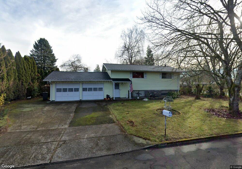
117 Little Rock Way Vancouver, WA 98664
Vancouver Heights NeighborhoodEstimated Value: $397,000 - $493,834
4
Beds
2
Baths
1,656
Sq Ft
$259/Sq Ft
Est. Value
About This Home
This home is located at 117 Little Rock Way, Vancouver, WA 98664 and is currently estimated at $428,709, approximately $258 per square foot. 117 Little Rock Way is a home located in Clark County with nearby schools including George C. Marshall Elementary School, McLoughlin Middle School, and Fort Vancouver High School.
Ownership History
Date
Name
Owned For
Owner Type
Purchase Details
Closed on
May 25, 2010
Sold by
Pendley Dan
Bought by
Cristobal Martin B
Current Estimated Value
Home Financials for this Owner
Home Financials are based on the most recent Mortgage that was taken out on this home.
Original Mortgage
$179,581
Outstanding Balance
$119,300
Interest Rate
4.87%
Mortgage Type
FHA
Estimated Equity
$309,409
Create a Home Valuation Report for This Property
The Home Valuation Report is an in-depth analysis detailing your home's value as well as a comparison with similar homes in the area
Home Values in the Area
Average Home Value in this Area
Purchase History
| Date | Buyer | Sale Price | Title Company |
|---|---|---|---|
| Cristobal Martin B | $182,000 | Chicago Title |
Source: Public Records
Mortgage History
| Date | Status | Borrower | Loan Amount |
|---|---|---|---|
| Open | Cristobal Martin B | $179,581 |
Source: Public Records
Tax History Compared to Growth
Tax History
| Year | Tax Paid | Tax Assessment Tax Assessment Total Assessment is a certain percentage of the fair market value that is determined by local assessors to be the total taxable value of land and additions on the property. | Land | Improvement |
|---|---|---|---|---|
| 2025 | $3,841 | $408,959 | $188,000 | $220,959 |
| 2024 | $3,745 | $393,144 | $188,000 | $205,144 |
| 2023 | $3,675 | $400,149 | $188,000 | $212,149 |
| 2022 | $3,400 | $394,255 | $188,000 | $206,255 |
| 2021 | $3,194 | $339,860 | $160,000 | $179,860 |
| 2020 | $2,942 | $300,930 | $134,112 | $166,818 |
| 2019 | $2,650 | $287,221 | $122,826 | $164,395 |
| 2018 | $2,819 | $267,911 | $0 | $0 |
| 2017 | $2,498 | $236,641 | $0 | $0 |
| 2016 | $2,250 | $218,843 | $0 | $0 |
| 2015 | $2,214 | $188,347 | $0 | $0 |
| 2014 | -- | $175,240 | $0 | $0 |
| 2013 | -- | $150,124 | $0 | $0 |
Source: Public Records
Map
Nearby Homes
- 7012 Louisiana Dr
- 6906 Tennessee Ln
- 6804 Louisiana Dr
- 124 S Fredericksburg Way
- 7010 Ohio Dr
- 6901 SE Middle Way
- 829 SE Morgan Rd
- 7520 SE Middle Way
- 6905 SE Evergreen Hwy
- 700 Garrison Terrace
- 1115 SE Morgan Rd
- 7506 SE Evergreen Hwy
- 6704 Kansas St
- 6019 SE Riverside Dr
- 300 Baltimore Way
- 8014 SE Middle Way
- 6903 SE Riverside Dr Unit 12
- 200 N Devine Rd
- 6118 Kansas St
- 105 N Santa fe Dr
- 7015 Carolina Ln
- 114 Little Rock Way
- 7008 Carolina Ln
- 7016 Carolina Ln
- 7101 Carolina Ln
- 7002 Carolina Ln
- 6913 Carolina Ln
- 7100 Carolina Ln
- 213 Little Rock Way
- 7006 Louisiana Dr
- 7105 Carolina Ln
- 210 Little Rock Way
- 6905 Tennessee Ln
- 7106 Carolina Ln
- 6909 Tennessee Ln
- 6907 Carolina Ln
- 6906 Louisiana Dr
- 6903 Tennessee Ln
- 6910 Carolina Ln
- 6911 Tennessee Ln