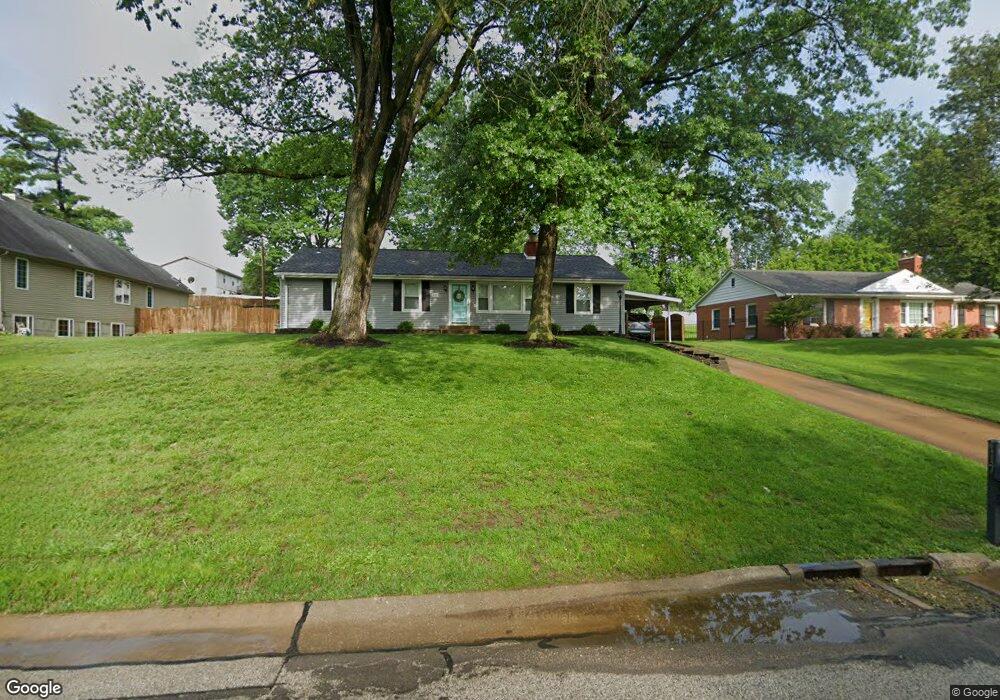
117 Lock Dr Ballwin, MO 63011
Estimated Value: $269,000 - $294,000
4
Beds
1
Bath
1,484
Sq Ft
$191/Sq Ft
Est. Value
About This Home
This home is located at 117 Lock Dr, Ballwin, MO 63011 and is currently estimated at $283,793, approximately $191 per square foot. 117 Lock Dr is a home located in St. Louis County with nearby schools including Westridge Elementary School, Crestview Middle School, and Marquette Sr. High School.
Ownership History
Date
Name
Owned For
Owner Type
Purchase Details
Closed on
May 5, 2010
Sold by
Layton Tracy Lee Key and Layton Richard
Bought by
Johnson Karla M
Current Estimated Value
Home Financials for this Owner
Home Financials are based on the most recent Mortgage that was taken out on this home.
Original Mortgage
$114,458
Outstanding Balance
$78,387
Interest Rate
5.5%
Mortgage Type
FHA
Estimated Equity
$205,406
Purchase Details
Closed on
Nov 26, 2007
Sold by
Lagrand Pat
Bought by
Layton Tracy Lee Key and Stanfill Terry Lynn Key
Purchase Details
Closed on
Oct 20, 2006
Sold by
Key Arthur E
Bought by
Key Arthur E and Lagrand Pat
Create a Home Valuation Report for This Property
The Home Valuation Report is an in-depth analysis detailing your home's value as well as a comparison with similar homes in the area
Home Values in the Area
Average Home Value in this Area
Purchase History
| Date | Buyer | Sale Price | Title Company |
|---|---|---|---|
| Johnson Karla M | $116,000 | None Available | |
| Layton Tracy Lee Key | -- | None Available | |
| Key Arthur E | -- | None Available |
Source: Public Records
Mortgage History
| Date | Status | Borrower | Loan Amount |
|---|---|---|---|
| Open | Johnson Karla M | $114,458 |
Source: Public Records
Tax History
| Year | Tax Paid | Tax Assessment Tax Assessment Total Assessment is a certain percentage of the fair market value that is determined by local assessors to be the total taxable value of land and additions on the property. | Land | Improvement |
|---|---|---|---|---|
| 2025 | $2,926 | $47,160 | $29,930 | $17,230 |
| 2024 | $2,926 | $41,670 | $21,380 | $20,290 |
| 2023 | $2,923 | $41,670 | $21,380 | $20,290 |
| 2022 | $2,705 | $35,790 | $23,520 | $12,270 |
| 2021 | $2,686 | $35,790 | $23,520 | $12,270 |
| 2020 | $2,665 | $33,860 | $17,860 | $16,000 |
| 2019 | $2,676 | $33,860 | $17,860 | $16,000 |
| 2018 | $2,293 | $27,320 | $14,060 | $13,260 |
| 2017 | $2,239 | $27,320 | $14,060 | $13,260 |
| 2016 | $1,874 | $21,930 | $9,960 | $11,970 |
Source: Public Records
Map
Nearby Homes
- 212 Lakeside Dr
- 114 Lea Meadows Dr
- 312 Ballwin Ave
- 429 Fairview Ct
- 313 Saint Lawrence Dr
- 275 Essen Ct Unit TBB
- 401 Hillcrest Blvd
- 203 Morewood Dr
- 408 Saint Lawrence Dr
- 277 Oak Path Dr
- 521 Kehrs Mill Rd
- 202 Wildbrier Dr
- 3 Chappel Ct
- 112 Shirley Ln
- 490 Maymont Dr
- 557 Happy Ct
- 107 Falmouth Dr
- 242 Aspen Trail Dr
- 756 Alexander Mark Way
- 729 Tuscan Valley Ct
- 119 Lock Dr
- 115 Lock Dr
- 160 Spring Oaks Dr
- 156 Spring Oaks Dr
- 121 Lock Dr
- 113 Lock Dr
- 164 Spring Oaks Dr
- 152 Spring Oaks Dr
- 118 Lock Dr
- 168 Spring Oaks Dr
- 116 Lock Dr
- 148 Spring Oaks Dr
- 120 Lock Dr
- 123 Lock Dr
- 111 Lock Dr
- 114 Lock Dr
- 172 Spring Oaks Dr
- 159 Spring Oaks Dr
- 122 Lock Dr
- 163 Spring Oaks Dr
Your Personal Tour Guide
Ask me questions while you tour the home.