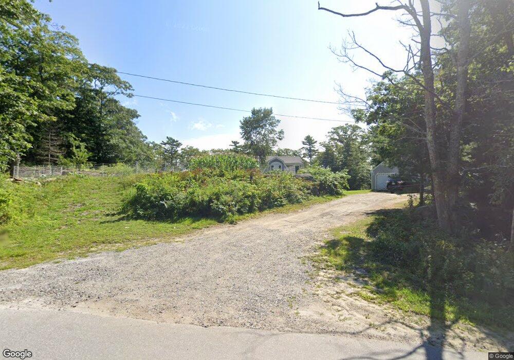
117 Long Point Rd Harpswell, ME 04079
Harpswell NeighborhoodEstimated Value: $874,000 - $1,209,000
2
Beds
3
Baths
2,058
Sq Ft
$513/Sq Ft
Est. Value
About This Home
This home is located at 117 Long Point Rd, Harpswell, ME 04079 and is currently estimated at $1,055,190, approximately $512 per square foot. 117 Long Point Rd is a home located in Cumberland County with nearby schools including Mt Ararat High School.
Ownership History
Date
Name
Owned For
Owner Type
Purchase Details
Closed on
Jun 22, 2006
Sold by
Toothaker Olcott S
Bought by
Pooley Philip M and Pooley Stephne A
Current Estimated Value
Create a Home Valuation Report for This Property
The Home Valuation Report is an in-depth analysis detailing your home's value as well as a comparison with similar homes in the area
Home Values in the Area
Average Home Value in this Area
Purchase History
| Date | Buyer | Sale Price | Title Company |
|---|---|---|---|
| Pooley Philip M | -- | -- |
Source: Public Records
Tax History Compared to Growth
Tax History
| Year | Tax Paid | Tax Assessment Tax Assessment Total Assessment is a certain percentage of the fair market value that is determined by local assessors to be the total taxable value of land and additions on the property. | Land | Improvement |
|---|---|---|---|---|
| 2024 | $4,379 | $688,500 | $264,600 | $423,900 |
| 2023 | $4,200 | $688,500 | $264,600 | $423,900 |
| 2022 | $4,062 | $688,500 | $264,600 | $423,900 |
| 2021 | $3,506 | $518,700 | $210,400 | $308,300 |
| 2020 | $6,333 | $518,700 | $210,400 | $308,300 |
| 2019 | $4,422 | $518,700 | $210,400 | $308,300 |
| 2018 | $3,361 | $518,700 | $210,400 | $308,300 |
| 2017 | $5,502 | $518,700 | $210,400 | $308,300 |
| 2016 | $4,098 | $518,700 | $210,400 | $308,300 |
| 2015 | $3,237 | $518,700 | $210,400 | $308,300 |
| 2013 | $2,998 | $518,700 | $210,400 | $308,300 |
Source: Public Records
Map
Nearby Homes
- lot C Long Point Rd
- 11 Orion Point Way
- 0 Bayview Rd Unit 2 1632776
- 20 Long Point Island
- 136 Bethel Point Rd
- 205 W Cundys Point
- 37 & 38 S Dyers Cove Rd
- 943 Cundys Harbor Rd
- Lot 2A Allen Point Rd
- Lot 2B Allen Point Rd
- 41 Spruce Brook Dr
- Lot 129 Harpswell Neck Rd
- 1689 Harpswell Islands Rd
- 87 Lowells Cove Rd
- 1 Mallard Pond Rd
- 242 Long Reach Ln
- 270 Harpswell Neck Rd
- 30 Osbourne Row
- 1450 Harpswell Neck Rd
- 65 Shell Rd
- 135 Long Point Rd
- 0 Gun Point
- 0 Gun Point Road Map 38 Lot 14 Unit 1116706
- 3 5 0 Gun Point Rd
- 2215 Long Point Rd
- 7 Homeport Dr
- 109 Long Point Rd
- Lot# 14 Gun Point
- 136 Long Point Rd
- Lot 96B Long Point
- Lot 96A Long Point
- 96-1 Long Point Rd
- 13 Dirigo Ln
- 88 Long Point Rd
- 8 Dirigo Ln
- 8 Lighthouse Landing Rd
- 8 Lighthouse Landing Rd
- 75 Long Point Rd
- 74 Long Point Rd
- 71 Long Point Rd