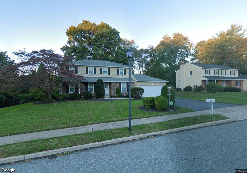
117 Lori Ln Broomall, PA 19008
Marple Township Delaware NeighborhoodEstimated Value: $668,000 - $875,000
4
Beds
3
Baths
2,597
Sq Ft
$300/Sq Ft
Est. Value
About This Home
This home is located at 117 Lori Ln, Broomall, PA 19008 and is currently estimated at $778,691, approximately $299 per square foot. 117 Lori Ln is a home located in Delaware County with nearby schools including Loomis Elementary School, Paxon Hollow Middle School, and Marple Newtown Senior High School.
Ownership History
Date
Name
Owned For
Owner Type
Purchase Details
Closed on
Nov 30, 2021
Sold by
Gutowski Loretta A
Bought by
Gagliardi Denise and Roach Martin
Current Estimated Value
Home Financials for this Owner
Home Financials are based on the most recent Mortgage that was taken out on this home.
Original Mortgage
$440,000
Outstanding Balance
$404,576
Interest Rate
3.09%
Mortgage Type
New Conventional
Estimated Equity
$374,115
Purchase Details
Closed on
Feb 23, 1978
Sold by
Raymond J Gatowski
Bought by
Gutowski Raymond J and Gutowski Loretta A
Create a Home Valuation Report for This Property
The Home Valuation Report is an in-depth analysis detailing your home's value as well as a comparison with similar homes in the area
Home Values in the Area
Average Home Value in this Area
Purchase History
| Date | Buyer | Sale Price | Title Company |
|---|---|---|---|
| Gagliardi Denise | $550,000 | Great Amer Abstract Of Main | |
| Gutowski Raymond J | $72,900 | -- |
Source: Public Records
Mortgage History
| Date | Status | Borrower | Loan Amount |
|---|---|---|---|
| Open | Gagliardi Denise | $440,000 |
Source: Public Records
Tax History Compared to Growth
Tax History
| Year | Tax Paid | Tax Assessment Tax Assessment Total Assessment is a certain percentage of the fair market value that is determined by local assessors to be the total taxable value of land and additions on the property. | Land | Improvement |
|---|---|---|---|---|
| 2025 | $7,639 | $442,060 | $134,640 | $307,420 |
| 2024 | $7,639 | $442,060 | $134,640 | $307,420 |
| 2023 | $7,397 | $442,060 | $134,640 | $307,420 |
| 2022 | $7,257 | $442,060 | $134,640 | $307,420 |
| 2021 | $10,952 | $442,060 | $134,640 | $307,420 |
| 2020 | $7,591 | $263,790 | $63,430 | $200,360 |
| 2019 | $7,499 | $263,790 | $63,430 | $200,360 |
| 2018 | $7,422 | $263,790 | $0 | $0 |
| 2017 | $7,425 | $263,790 | $0 | $0 |
| 2016 | $1,448 | $263,790 | $0 | $0 |
| 2015 | $1,477 | $263,790 | $0 | $0 |
| 2014 | $1,448 | $263,790 | $0 | $0 |
Source: Public Records
Map
Nearby Homes
- 127 Deerfield Rd
- 54 Sterner Ave
- 300 Rock Run Cir
- 200 Marple Rd
- 124 Carli Dr
- 6205 Parkview Dr
- 15 Oakland Rd
- 3920 Darby Rd
- Lot 2 Cynwyd
- Lot1 Cynwyd
- 2604 Cynwyd Ave
- 88 4th Ave
- 345 Ellis Rd
- 106 2nd Ave
- 1 Lawrence Rd Unit A3A
- 306 Rock Run Cir
- 2025 S Sproul Rd
- 301 S New Ardmore Ave
- 1 Brighton Village Dr
- 1741 Lawrence Rd