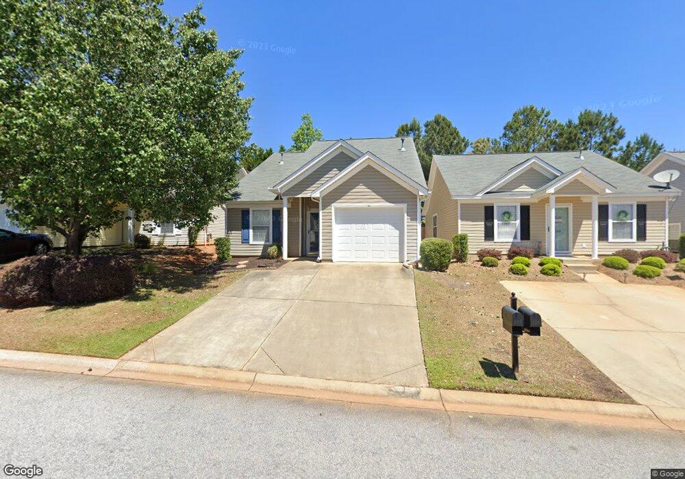
117 Merowey Ct Chapin, SC 29036
Estimated Value: $206,000 - $245,000
3
Beds
2
Baths
1,374
Sq Ft
$161/Sq Ft
Est. Value
About This Home
This home is located at 117 Merowey Ct, Chapin, SC 29036 and is currently estimated at $221,496, approximately $161 per square foot. 117 Merowey Ct is a home located in Lexington County with nearby schools including Chapin Elementary School, Chapin Intermediate, and Chapin High School.
Ownership History
Date
Name
Owned For
Owner Type
Purchase Details
Closed on
Nov 28, 2018
Sold by
Cook Kay Frances and Cook Shelley Kay
Bought by
Cook Kay Frances
Current Estimated Value
Purchase Details
Closed on
May 30, 2018
Sold by
Berg James R and Berg Diane M
Bought by
Cook Kay Frances and Cook Shelley Kay
Purchase Details
Closed on
Oct 15, 2012
Sold by
Pratt Daniel J and Pratt Debra L
Bought by
Berg James R and Berg Diane M
Purchase Details
Closed on
Sep 22, 2005
Sold by
Fairhaven Llc
Bought by
Pratt Daniel J and Pratt Debra L
Home Financials for this Owner
Home Financials are based on the most recent Mortgage that was taken out on this home.
Original Mortgage
$30,000
Interest Rate
5.72%
Mortgage Type
New Conventional
Create a Home Valuation Report for This Property
The Home Valuation Report is an in-depth analysis detailing your home's value as well as a comparison with similar homes in the area
Home Values in the Area
Average Home Value in this Area
Purchase History
| Date | Buyer | Sale Price | Title Company |
|---|---|---|---|
| Cook Kay Frances | -- | None Available | |
| Cook Kay Frances | $123,400 | None Available | |
| Berg James R | $112,500 | -- | |
| Pratt Daniel J | $110,175 | -- |
Source: Public Records
Mortgage History
| Date | Status | Borrower | Loan Amount |
|---|---|---|---|
| Previous Owner | Pratt Daniel J | $30,000 |
Source: Public Records
Tax History Compared to Growth
Tax History
| Year | Tax Paid | Tax Assessment Tax Assessment Total Assessment is a certain percentage of the fair market value that is determined by local assessors to be the total taxable value of land and additions on the property. | Land | Improvement |
|---|---|---|---|---|
| 2024 | $3,356 | $7,464 | $1,050 | $6,414 |
| 2023 | $3,356 | $7,464 | $1,050 | $6,414 |
| 2022 | $3,175 | $7,464 | $1,050 | $6,414 |
| 2020 | $3,228 | $7,464 | $1,050 | $6,414 |
| 2019 | $3,300 | $7,404 | $1,050 | $6,354 |
| 2018 | $2,752 | $6,463 | $1,050 | $5,413 |
| 2017 | $2,721 | $6,463 | $1,050 | $5,413 |
| 2016 | $2,702 | $6,463 | $1,050 | $5,413 |
| 2014 | $2,710 | $6,749 | $900 | $5,849 |
| 2013 | -- | $6,750 | $900 | $5,850 |
Source: Public Records
Map
Nearby Homes
- 129 Merowey Ct
- 100 Recluse St
- 213 Firebridge Ct
- 1679 Amicks Ferry Rd
- 428 Firebridge Dr
- 566 Griffon Dr
- 562 Griffon Dr
- 570 Griffon Dr
- 550 Griffon Dr
- 574 Griffon Dr
- 558 Griffon Dr
- 542 Griffon Dr
- 538 Griffon Dr
- 559 Griffon Dr
- 567 Griffon Dr
- 571 Griffon Dr
- 555 Griffon Dr
- 563 Griffon Dr
- 551 Griffon Dr
- 547 Griffon Dr