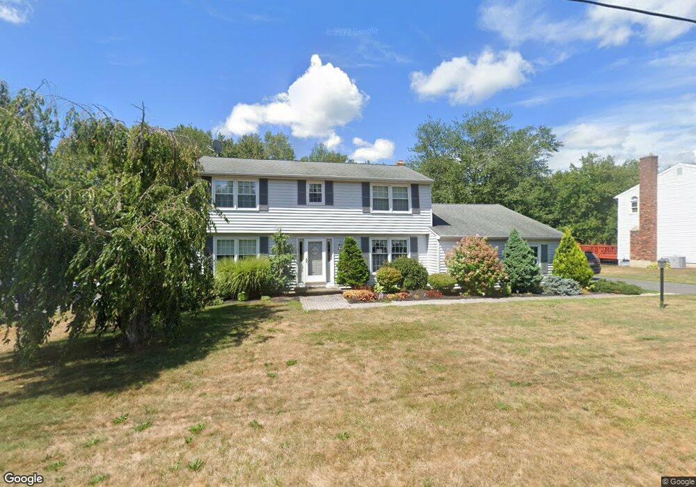
117 Mikelin Dr Torrington, CT 06790
Estimated Value: $411,000 - $430,000
3
Beds
3
Baths
1,844
Sq Ft
$226/Sq Ft
Est. Value
About This Home
This home is located at 117 Mikelin Dr, Torrington, CT 06790 and is currently estimated at $417,663, approximately $226 per square foot. 117 Mikelin Dr is a home located in Litchfield County with nearby schools including Torrington Middle School, Torrington High School, and Torrington Christian Academy.
Ownership History
Date
Name
Owned For
Owner Type
Purchase Details
Closed on
Sep 19, 2016
Sold by
Mclaughlin Karen O
Bought by
Ashton Scott M and Harrington Ashley E
Current Estimated Value
Home Financials for this Owner
Home Financials are based on the most recent Mortgage that was taken out on this home.
Original Mortgage
$222,300
Outstanding Balance
$177,565
Interest Rate
3.43%
Mortgage Type
Purchase Money Mortgage
Estimated Equity
$240,098
Create a Home Valuation Report for This Property
The Home Valuation Report is an in-depth analysis detailing your home's value as well as a comparison with similar homes in the area
Home Values in the Area
Average Home Value in this Area
Purchase History
| Date | Buyer | Sale Price | Title Company |
|---|---|---|---|
| Ashton Scott M | $234,000 | -- |
Source: Public Records
Mortgage History
| Date | Status | Borrower | Loan Amount |
|---|---|---|---|
| Open | Ashton Scott M | $222,300 | |
| Previous Owner | Ashton Scott M | $97,000 |
Source: Public Records
Tax History
| Year | Tax Paid | Tax Assessment Tax Assessment Total Assessment is a certain percentage of the fair market value that is determined by local assessors to be the total taxable value of land and additions on the property. | Land | Improvement |
|---|---|---|---|---|
| 2025 | $8,624 | $224,280 | $30,870 | $193,410 |
| 2024 | $7,075 | $147,480 | $58,310 | $89,170 |
| 2023 | $7,073 | $147,480 | $58,310 | $89,170 |
| 2022 | $6,952 | $147,480 | $58,310 | $89,170 |
| 2021 | $6,809 | $147,480 | $58,310 | $89,170 |
| 2020 | $6,809 | $147,480 | $58,310 | $89,170 |
| 2019 | $5,867 | $127,070 | $34,990 | $92,080 |
| 2018 | $5,867 | $127,070 | $34,990 | $92,080 |
| 2017 | $5,813 | $127,070 | $34,990 | $92,080 |
| 2016 | $5,813 | $127,070 | $34,990 | $92,080 |
| 2015 | $5,813 | $127,070 | $34,990 | $92,080 |
| 2014 | $6,270 | $172,620 | $63,560 | $109,060 |
Source: Public Records
Map
Nearby Homes
- 101 Durand St
- 1683 Torringford St
- 0 Torringford West St
- 179 Greenridge Rd
- 660 Torringford St
- 154 Cypress Ct
- 00 Kennedy Dr
- 646 Torringford St
- 1229 Winsted Rd Unit 5
- 1229 Winsted Rd Unit 93
- 1229 Winsted Rd Unit 116
- 35 Hemlock Dr
- 290 Gillette Rd
- 98 Wheeler Ln
- 325 Circle Dr
- 111 Oxbow Dr
- 19 Marshall St
- 0 Torringford St W
- 175 Ramstein Rd
- 67 Amherst St
Your Personal Tour Guide
Ask me questions while you tour the home.