117 Miles Ave Little Hocking, OH 45742
Estimated Value: $177,000 - $249,000
3
Beds
1
Bath
1,056
Sq Ft
$203/Sq Ft
Est. Value
About This Home
This home is located at 117 Miles Ave, Little Hocking, OH 45742 and is currently estimated at $214,018, approximately $202 per square foot. 117 Miles Ave is a home located in Washington County with nearby schools including Warren High School.
Ownership History
Date
Name
Owned For
Owner Type
Purchase Details
Closed on
Sep 24, 2015
Sold by
Atkinson Dorothy M
Bought by
Mitchem Jered L and Mitchem Lacey E
Current Estimated Value
Home Financials for this Owner
Home Financials are based on the most recent Mortgage that was taken out on this home.
Original Mortgage
$123,469
Outstanding Balance
$96,977
Interest Rate
3.91%
Mortgage Type
New Conventional
Estimated Equity
$117,041
Purchase Details
Closed on
Jun 8, 2015
Sold by
Estate Of Jack Edward Atkinson
Bought by
Atkinson Dorothy M
Create a Home Valuation Report for This Property
The Home Valuation Report is an in-depth analysis detailing your home's value as well as a comparison with similar homes in the area
Home Values in the Area
Average Home Value in this Area
Purchase History
| Date | Buyer | Sale Price | Title Company |
|---|---|---|---|
| Mitchem Jered L | $121,000 | Attorney | |
| Atkinson Dorothy M | -- | None Available |
Source: Public Records
Mortgage History
| Date | Status | Borrower | Loan Amount |
|---|---|---|---|
| Open | Mitchem Jered L | $123,469 |
Source: Public Records
Tax History Compared to Growth
Tax History
| Year | Tax Paid | Tax Assessment Tax Assessment Total Assessment is a certain percentage of the fair market value that is determined by local assessors to be the total taxable value of land and additions on the property. | Land | Improvement |
|---|---|---|---|---|
| 2024 | $2,141 | $54,570 | $6,840 | $47,730 |
| 2023 | $2,141 | $54,570 | $6,840 | $47,730 |
| 2022 | $2,131 | $54,570 | $6,840 | $47,730 |
| 2021 | $1,773 | $43,080 | $4,320 | $38,760 |
| 2020 | $1,659 | $43,080 | $4,320 | $38,760 |
| 2019 | $1,636 | $43,080 | $4,320 | $38,760 |
| 2018 | $1,478 | $37,790 | $3,760 | $34,030 |
| 2017 | $1,469 | $37,790 | $3,760 | $34,030 |
| 2016 | $1,863 | $37,790 | $3,760 | $34,030 |
| 2015 | $1,219 | $34,120 | $3,900 | $30,220 |
| 2014 | $1,702 | $34,120 | $3,900 | $30,220 |
| 2013 | $883 | $34,120 | $3,900 | $30,220 |
Source: Public Records
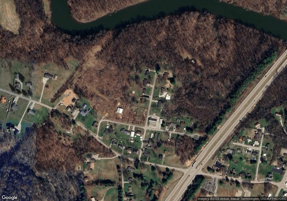
Map
Nearby Homes
- 000 Newbury Rd
- 4278 Newbury Rd
- 950 Federal Rd
- 0 Newberry Rd Unit 4279424
- 1175 Collins Rd
- 00 Orchard Dr
- 1421 Hocking Rd
- 0 Houston Rd
- 0 Houston Rd
- 0 T1309
- 29500 Houston Rd
- 5595 N Torch Rd
- 2853 Lake Washington Rd
- 257 Walnut Grove
- 0 N Torch Rd
- 0 Murphy Rd Unit 2431698
- 119 Stonegate Dr
- 200 Club Dr
- 151 Dover Rd
- 631 Short Brook Rd