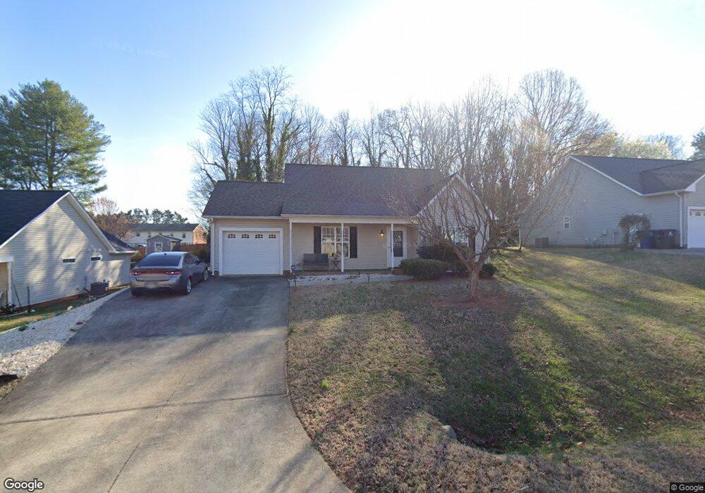
117 Monroe St Winston Salem, NC 27104
South Fork NeighborhoodEstimated Value: $235,471 - $260,000
3
Beds
2
Baths
1,088
Sq Ft
$231/Sq Ft
Est. Value
About This Home
This home is located at 117 Monroe St, Winston Salem, NC 27104 and is currently estimated at $251,118, approximately $230 per square foot. 117 Monroe St is a home located in Forsyth County with nearby schools including South Fork Elementary School, Wiley Magnet Middle School, and Reynolds High School.
Ownership History
Date
Name
Owned For
Owner Type
Purchase Details
Closed on
May 26, 2005
Sold by
Nail Walter G and Nail Ethel S
Bought by
Lula Family Llc
Current Estimated Value
Purchase Details
Closed on
Feb 21, 2003
Sold by
Nail Walter G and Nail Ethel S
Bought by
Nail Ethel S
Purchase Details
Closed on
Aug 27, 2002
Sold by
K T Isenhour Properties Inc
Bought by
K T Isenhour Construction Company Inc
Home Financials for this Owner
Home Financials are based on the most recent Mortgage that was taken out on this home.
Original Mortgage
$24,000
Interest Rate
6.49%
Mortgage Type
Construction
Create a Home Valuation Report for This Property
The Home Valuation Report is an in-depth analysis detailing your home's value as well as a comparison with similar homes in the area
Home Values in the Area
Average Home Value in this Area
Purchase History
| Date | Buyer | Sale Price | Title Company |
|---|---|---|---|
| Lula Family Llc | -- | -- | |
| Nail Ethel S | -- | -- | |
| K T Isenhour Construction Company Inc | $20,500 | -- |
Source: Public Records
Mortgage History
| Date | Status | Borrower | Loan Amount |
|---|---|---|---|
| Previous Owner | K T Isenhour Construction Company Inc | $24,000 |
Source: Public Records
Tax History Compared to Growth
Tax History
| Year | Tax Paid | Tax Assessment Tax Assessment Total Assessment is a certain percentage of the fair market value that is determined by local assessors to be the total taxable value of land and additions on the property. | Land | Improvement |
|---|---|---|---|---|
| 2025 | $1,968 | $223,700 | $40,000 | $183,700 |
| 2024 | $1,878 | $140,300 | $30,000 | $110,300 |
| 2023 | $1,878 | $140,300 | $30,000 | $110,300 |
| 2022 | $1,843 | $140,300 | $30,000 | $110,300 |
| 2021 | $1,810 | $140,300 | $30,000 | $110,300 |
| 2020 | $1,725 | $124,900 | $28,000 | $96,900 |
| 2019 | $1,737 | $124,900 | $28,000 | $96,900 |
| 2018 | $1,650 | $124,900 | $28,000 | $96,900 |
| 2016 | $1,544 | $117,296 | $28,000 | $89,296 |
| 2015 | $1,520 | $117,296 | $28,000 | $89,296 |
| 2014 | $1,474 | $117,296 | $28,000 | $89,296 |
Source: Public Records
Map
Nearby Homes
- 310 Coventry Park Ln
- 4205 Club Pointe Ct
- 224 Longwood Dr NW
- 228 Longwood Dr NW
- 204 Bradberry Ln
- 3812 Country Club Rd Unit D
- 3980 Seaton Rd
- 3770 Will Scarlet Rd
- 3618 Vandalia Dr
- 205 Guinevere Ct
- 3560 Kirklees Rd
- 4813 Tiffany Ave
- 431 Hearthside Dr
- 181 Westhaven Cir
- 505 Stonegate Ln
- 4532 Fernhaven Cir Unit 9
- 4552 Fernhaven Cir
- 621 Quarterstaff Rd
- 4855 Tiffany Ave
- 3351 Emory Dr
- 121 Monroe St
- 113 Monroe St
- 113 Monroe St NW
- 109 Monroe St NW
- 125 Monroe St
- 109 Monroe St
- 120 Shepley Ct
- 130 Shepley Ct
- 120 Bishop St
- 110 Shepley Ct
- 4201 Country Club Rd
- 129 Monroe St
- 126 Monroe St
- 125 Shepley Ct
- 155 Coventry Park Ln
- 128 Bishop St
- 136 Monroe St
- 165 Coventry Park Ln
- 145 Coventry Park Ln
- 4205 Country Club Rd