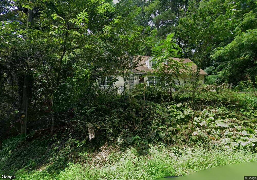
117 Mountain Rd Rising Sun, MD 21911
Estimated Value: $279,923 - $300,000
Studio
1
Bath
1,468
Sq Ft
$199/Sq Ft
Est. Value
About This Home
This home is located at 117 Mountain Rd, Rising Sun, MD 21911 and is currently estimated at $292,231, approximately $199 per square foot. 117 Mountain Rd is a home located in Cecil County with nearby schools including Rising Sun Elementary School, Rising Sun Middle School, and Rising Sun High School.
Ownership History
Date
Name
Owned For
Owner Type
Purchase Details
Closed on
Jan 12, 1987
Sold by
Newton Robert A and Newton Eileen F
Bought by
Ham Farlie F and Ham Ruth A
Current Estimated Value
Home Financials for this Owner
Home Financials are based on the most recent Mortgage that was taken out on this home.
Original Mortgage
$55,584
Interest Rate
9.32%
Purchase Details
Closed on
Apr 11, 1983
Sold by
Administrator Of Veterans Affairs
Bought by
Newton Robert A and Newton Eileen F
Create a Home Valuation Report for This Property
The Home Valuation Report is an in-depth analysis detailing your home's value as well as a comparison with similar homes in the area
Home Values in the Area
Average Home Value in this Area
Purchase History
| Date | Buyer | Sale Price | Title Company |
|---|---|---|---|
| Ham Farlie F | $56,000 | -- | |
| Newton Robert A | $40,000 | -- |
Source: Public Records
Mortgage History
| Date | Status | Borrower | Loan Amount |
|---|---|---|---|
| Closed | Ham Farlie F | $55,584 |
Source: Public Records
Tax History
| Year | Tax Paid | Tax Assessment Tax Assessment Total Assessment is a certain percentage of the fair market value that is determined by local assessors to be the total taxable value of land and additions on the property. | Land | Improvement |
|---|---|---|---|---|
| 2025 | $2,182 | $199,500 | $72,300 | $127,200 |
| 2024 | $1,749 | $191,133 | $0 | $0 |
| 2023 | $1,337 | $182,767 | $0 | $0 |
| 2022 | $1,998 | $174,400 | $72,300 | $102,100 |
| 2021 | $1,957 | $167,167 | $0 | $0 |
| 2020 | $1,893 | $159,933 | $0 | $0 |
| 2019 | $1,821 | $152,700 | $72,300 | $80,400 |
| 2018 | $1,792 | $150,200 | $0 | $0 |
| 2017 | $1,764 | $147,700 | $0 | $0 |
| 2016 | $1,661 | $145,200 | $0 | $0 |
| 2015 | $1,661 | $145,200 | $0 | $0 |
| 2014 | $1,546 | $145,200 | $0 | $0 |
Source: Public Records
Map
Nearby Homes
- 91 Mountain Rd
- 66 Spready Oak Rd
- Lot 8 White Spruce Way
- 0 Colora Rd
- Lots 126-127 Codjus Dr
- 228 Porters Bridge Rd
- 62 Porters Bridge Rd
- 106 Kari Ct
- 404 Pearl St
- 1741 Liberty Grove Rd
- 900 New Bridge Rd
- 43 Pearl St
- 27 Haines Ave
- 10 Pogue Ave
- 945 Firetower Rd
- 10 N Hills Dr
- 0 Boyd Dr
- lot 2 White Spruce Way
- 306 Ryan Dr
- 8 Mason Dixon Ct
- 105 & 107 Mountain Rd
- 105 Mountain Rd
- 95 Mountain Rd
- 92 Mountain Rd
- 79 Mountain Rd
- 73 Mountain Rd
- 12 Woodlyn Rd
- 25 Mountain Rd
- 20 Woodlyn Rd
- 28 Woodlyn Rd
- 1972 Conowingo Rd
- 1972C Conowingo Rd
- 1972 Conowingo Rd
- 38 Mountain Rd
- 34 Woodlyn Rd
- 2010 Conowingo Rd
- 2002 Conowingo Rd
- 2018 Conowingo Rd
- 1994 Conowingo Rd
- 1986 Conowingo Rd
Your Personal Tour Guide
Ask me questions while you tour the home.