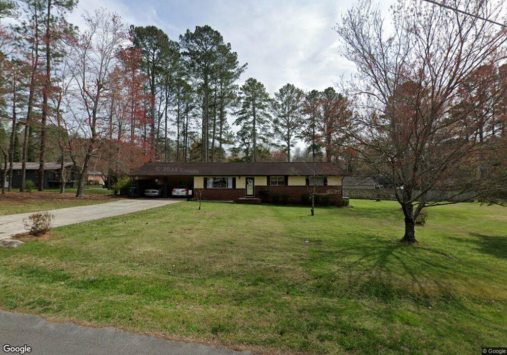
117 N Azalea Dr La Fayette, GA 30728
Estimated Value: $211,769 - $274,000
--
Bed
2
Baths
1,572
Sq Ft
$155/Sq Ft
Est. Value
About This Home
This home is located at 117 N Azalea Dr, La Fayette, GA 30728 and is currently estimated at $244,442, approximately $155 per square foot. 117 N Azalea Dr is a home located in Walker County with nearby schools including North Lafayette Elementary School, Lafayette Middle School, and Lafayette High School.
Ownership History
Date
Name
Owned For
Owner Type
Purchase Details
Closed on
Aug 28, 2019
Sold by
Watson Jeanette Hobbs
Bought by
Scoggins Stanley Dale and Scoggins Cynthia Lynn
Current Estimated Value
Purchase Details
Closed on
Feb 21, 1989
Sold by
Watson Gariepy G and Watson Jeanette
Bought by
Watson Jeanette Hobbs
Purchase Details
Closed on
Jan 1, 1977
Sold by
Hall Joe H and Hall Barbara N
Bought by
Watson Gariepy G and Watson Jeanette
Purchase Details
Closed on
Mar 22, 1974
Sold by
Cantrell James G
Bought by
Hall Joe H and Hall Barbara N
Purchase Details
Closed on
Aug 14, 1973
Sold by
Scoggins Donald A
Bought by
Cantrell James G
Purchase Details
Closed on
Aug 17, 1968
Bought by
Scoggins Donald A
Create a Home Valuation Report for This Property
The Home Valuation Report is an in-depth analysis detailing your home's value as well as a comparison with similar homes in the area
Home Values in the Area
Average Home Value in this Area
Purchase History
| Date | Buyer | Sale Price | Title Company |
|---|---|---|---|
| Scoggins Stanley Dale | $110,000 | -- | |
| Watson Jeanette Hobbs | -- | -- | |
| Watson Gariepy G | -- | -- | |
| Hall Joe H | -- | -- | |
| Cantrell James G | -- | -- | |
| Scoggins Donald A | -- | -- |
Source: Public Records
Tax History Compared to Growth
Tax History
| Year | Tax Paid | Tax Assessment Tax Assessment Total Assessment is a certain percentage of the fair market value that is determined by local assessors to be the total taxable value of land and additions on the property. | Land | Improvement |
|---|---|---|---|---|
| 2024 | $1,559 | $65,473 | $8,160 | $57,313 |
| 2023 | $1,534 | $62,472 | $8,160 | $54,312 |
| 2022 | $1,445 | $54,908 | $8,160 | $46,748 |
| 2021 | $1,582 | $53,856 | $5,100 | $48,756 |
| 2020 | $1,336 | $43,546 | $5,100 | $38,446 |
| 2019 | $1,337 | $43,546 | $5,100 | $38,446 |
| 2018 | $154 | $44,046 | $5,600 | $38,446 |
| 2017 | $1,319 | $44,346 | $5,900 | $38,446 |
| 2016 | $1,414 | $44,346 | $5,900 | $38,446 |
| 2015 | -- | $37,186 | $9,408 | $27,778 |
| 2014 | $980 | $37,186 | $9,408 | $27,778 |
| 2013 | -- | $37,186 | $9,408 | $27,778 |
Source: Public Records
Map
Nearby Homes
- 0 Probasco St N Unit 1503555
- 1112 Probasco St N
- 1001 N Main St
- 79 Hobart Ln
- 307 Ridgecrest Dr
- 806 N Main St
- 607 Gregory Ln
- 408 Ridgecrest Dr
- 307 Park St
- 0 Center St Unit 1517720
- 0 Center St Unit 16 11493665
- 0 Center St Unit 15 11492953
- 393 Wisteria Rd
- 329 Windsong Dr
- 1876 Old Mineral Springs Rd
- 114 Mallard Ln
- 1314 Fernwood Dr
- 1403 N Main St
- 1318 Fernwood Dr
- 105 Stanfield Rd