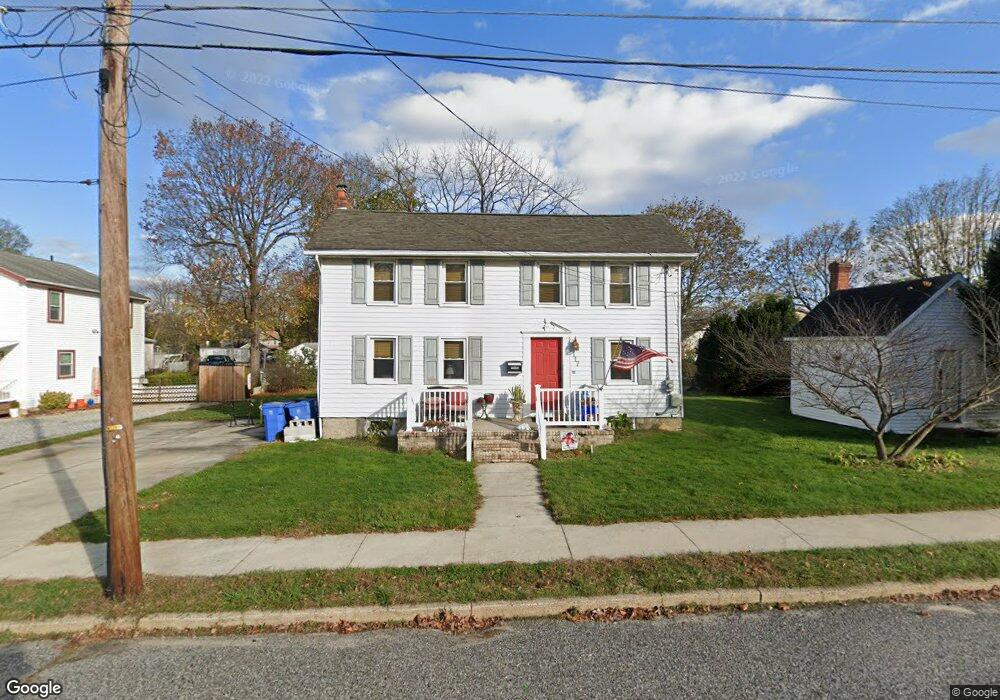
117 N Main St Clayton, NJ 08312
Estimated Value: $311,000 - $338,000
4
Beds
2
Baths
2,112
Sq Ft
$153/Sq Ft
Est. Value
About This Home
This home is located at 117 N Main St, Clayton, NJ 08312 and is currently estimated at $322,363, approximately $152 per square foot. 117 N Main St is a home located in Gloucester County with nearby schools including Herma S. Simmons Elementary School, Clayton Middle School, and Clayton High School.
Ownership History
Date
Name
Owned For
Owner Type
Purchase Details
Closed on
Dec 21, 2011
Sold by
Turner David P and Estate Of Evelyn E Turner
Bought by
Milewski Jonathan G and Depew Melissa C
Current Estimated Value
Home Financials for this Owner
Home Financials are based on the most recent Mortgage that was taken out on this home.
Original Mortgage
$77,500
Outstanding Balance
$52,939
Interest Rate
3.98%
Mortgage Type
New Conventional
Estimated Equity
$269,424
Purchase Details
Closed on
Apr 15, 1999
Sold by
Holloway Mamie
Bought by
Holloway David B
Create a Home Valuation Report for This Property
The Home Valuation Report is an in-depth analysis detailing your home's value as well as a comparison with similar homes in the area
Home Values in the Area
Average Home Value in this Area
Purchase History
| Date | Buyer | Sale Price | Title Company |
|---|---|---|---|
| Milewski Jonathan G | $99,000 | Infinity Title Agency Inc | |
| Holloway David B | -- | -- |
Source: Public Records
Mortgage History
| Date | Status | Borrower | Loan Amount |
|---|---|---|---|
| Open | Milewski Jonathan G | $77,500 |
Source: Public Records
Tax History Compared to Growth
Tax History
| Year | Tax Paid | Tax Assessment Tax Assessment Total Assessment is a certain percentage of the fair market value that is determined by local assessors to be the total taxable value of land and additions on the property. | Land | Improvement |
|---|---|---|---|---|
| 2025 | $6,091 | $246,100 | $79,200 | $166,900 |
| 2024 | $5,641 | $246,100 | $79,200 | $166,900 |
| 2023 | $5,641 | $139,600 | $36,000 | $103,600 |
| 2022 | $5,580 | $139,600 | $36,000 | $103,600 |
| 2021 | $5,513 | $139,600 | $36,000 | $103,600 |
| 2020 | $5,524 | $139,600 | $36,000 | $103,600 |
| 2019 | $5,430 | $139,600 | $36,000 | $103,600 |
| 2018 | $5,354 | $139,600 | $36,000 | $103,600 |
| 2017 | $5,263 | $139,600 | $36,000 | $103,600 |
| 2016 | $5,185 | $139,000 | $36,000 | $103,000 |
| 2015 | $5,032 | $139,000 | $36,000 | $103,000 |
| 2014 | $4,857 | $139,000 | $36,000 | $103,000 |
Source: Public Records
Map
Nearby Homes
- 320 E Clayton Ave
- 125 W Clayton Ave
- 216 E Howard St
- 7 Hawthorn Way
- 238 W Center St
- 131 W Clinton St
- 100 Aura Rd Unit 112
- 100 Aura Rd Unit 212
- 100 Aura Rd Unit 311
- 100 Aura Rd Unit 111
- 100 Aura Rd Unit 110
- 124 W Howard St
- 510 Coleman Dr
- 237 S Delsea Dr
- 807 N New St
- 35 W Dehart Ave
- 13 W Dehart Ave
- 6 Dubois Ave
- 100 Jerrys Ave
- 196 Jerrys Ave
- 127 N Main St
- 105 N Main St Unit C
- 105 N Main St Unit A
- 105 N Main St
- 203 N Main St
- 131 E High St Unit A
- 131 E High St
- 131 E High St Unit B
- 59 E High St
- 202 N Main St
- 204 N Main St
- 133 E High St Unit A
- 133 E High St Unit B
- 133 E High St
- 211 N Main St
- 101 E High St
- 206 N Main St Unit B
- 206 N Main St Unit A
- 206 N Main St
- 57 E High St