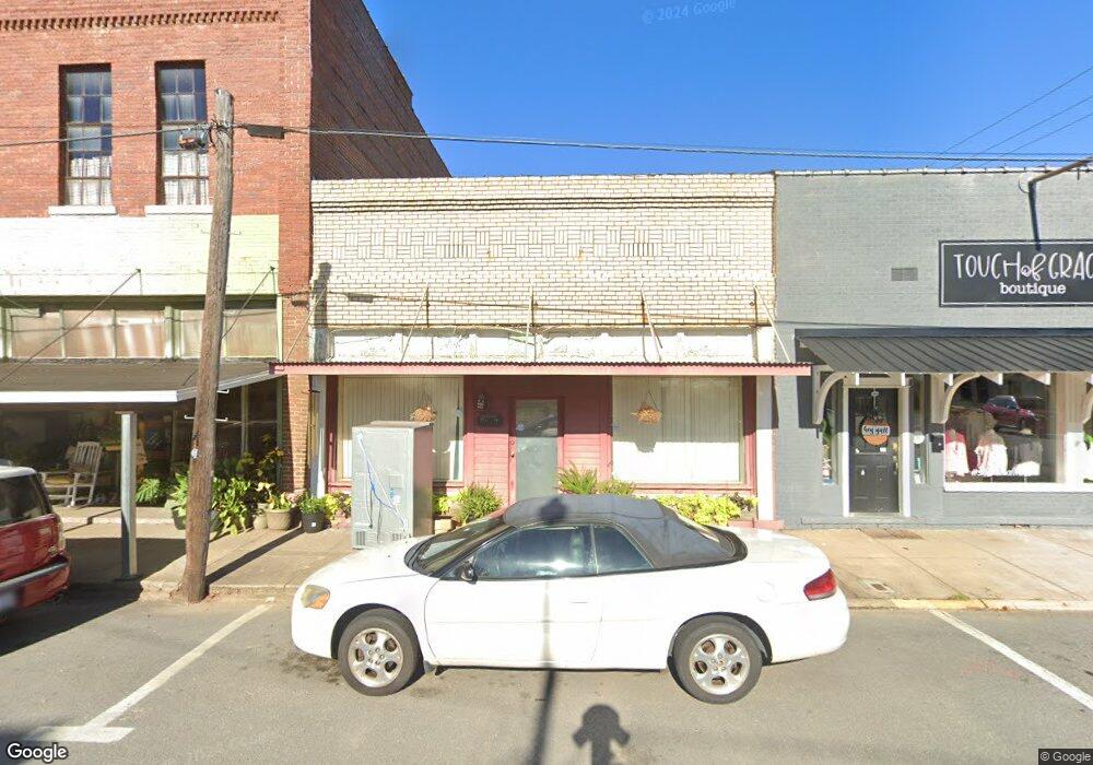
117 N Oak St Sheridan, AR 72150
--
Bed
--
Bath
1,875
Sq Ft
3,746
Sq Ft Lot
About This Home
This home is located at 117 N Oak St, Sheridan, AR 72150. 117 N Oak St is a home located in Grant County with nearby schools including Sheridan High School.
Ownership History
Date
Name
Owned For
Owner Type
Purchase Details
Closed on
Feb 27, 2025
Sold by
Wells Henry E and Wells Ola Kate
Bought by
Akkawi Llc
Purchase Details
Closed on
Oct 6, 2003
Bought by
Wells
Purchase Details
Closed on
Apr 1, 1998
Bought by
Trust
Purchase Details
Closed on
Nov 1, 1997
Bought by
Purc Cont
Purchase Details
Closed on
Dec 1, 1990
Bought by
Treat
Purchase Details
Closed on
Apr 1, 1989
Bought by
Vanlandingham
Create a Home Valuation Report for This Property
The Home Valuation Report is an in-depth analysis detailing your home's value as well as a comparison with similar homes in the area
Home Values in the Area
Average Home Value in this Area
Purchase History
| Date | Buyer | Sale Price | Title Company |
|---|---|---|---|
| Akkawi Llc | $80,000 | None Listed On Document | |
| Akkawi Llc | $80,000 | None Listed On Document | |
| Wells | $30,000 | -- | |
| Trust | -- | -- | |
| Purc Cont | $30,000 | -- | |
| Treat | -- | -- | |
| Vanlandingham | -- | -- |
Source: Public Records
Tax History Compared to Growth
Tax History
| Year | Tax Paid | Tax Assessment Tax Assessment Total Assessment is a certain percentage of the fair market value that is determined by local assessors to be the total taxable value of land and additions on the property. | Land | Improvement |
|---|---|---|---|---|
| 2025 | $593 | $19,910 | $11,250 | $8,660 |
| 2024 | $494 | $10,970 | $1,650 | $9,320 |
| 2023 | $494 | $10,970 | $1,650 | $9,320 |
| 2022 | $494 | $10,970 | $1,650 | $9,320 |
| 2021 | $494 | $10,970 | $1,650 | $9,320 |
| 2020 | $462 | $10,260 | $1,500 | $8,760 |
| 2019 | $462 | $10,260 | $1,500 | $8,760 |
| 2018 | $462 | $10,260 | $1,500 | $8,760 |
| 2017 | $462 | $10,260 | $1,500 | $8,760 |
| 2015 | -- | $9,250 | $1,500 | $7,750 |
| 2014 | -- | $9,250 | $1,500 | $7,750 |
| 2012 | -- | $9,250 | $1,500 | $7,750 |
Source: Public Records
Map
Nearby Homes
- 205 N Main St
- 0 W Bell St
- 206 W High St
- 300 W High St
- 0 Center Street Hwy Unit 25041214
- 611 W Church St
- 211 N College St
- 407 E Holly St
- 0 E Center St
- 709 W Church St
- 711 W Church St
- 801 N Arch St
- 38 Valley Ct
- 0 Grant 9 Unit 25044833
- 1 Rose Ct
- 708 E 2nd St
- 39 Valley Ct
- 701 N Red St
- 610 S Rock St
- 1000 N Arch St
- 113 N Oak St
- 106 & 109 N Oak St
- 109 N Oak St
- 0 Westbrooke Dr Unit 20038704
- 0 Westbrooke Dr Unit 17029736
- 201 N Oak St
- 200 N Oak St
- 110 N Rose St
- 0 N Rose St
- 202 N Oak St
- 120 W Center St
- 208 W Bell St
- 118 W Center St
- 00 Hwy 270 E
- W 270 Hwy
- 0 Hwy 270 E Unit 15030475
- 0 Hwy 270 E Unit 17020091
- 0 Hwy 270 E Unit 18000014
- 0 Hwy 270 E Unit 20026164
- 0 Hwy 270 E Unit 20032773