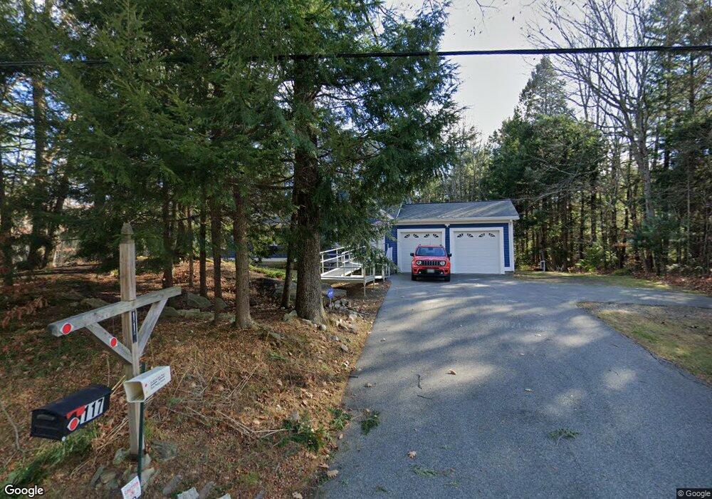
117 Nash Rd Windham, ME 04062
Estimated Value: $441,901 - $502,000
3
Beds
2
Baths
1,476
Sq Ft
$313/Sq Ft
Est. Value
About This Home
This home is located at 117 Nash Rd, Windham, ME 04062 and is currently estimated at $462,475, approximately $313 per square foot. 117 Nash Rd is a home located in Cumberland County with nearby schools including Windham Primary School, Manchester School, and Windham Middle School.
Ownership History
Date
Name
Owned For
Owner Type
Purchase Details
Closed on
Nov 16, 2006
Sold by
Curtis Cecil K and Shimko Curtis D
Bought by
Paulin Louise M and Smith Henry
Current Estimated Value
Home Financials for this Owner
Home Financials are based on the most recent Mortgage that was taken out on this home.
Original Mortgage
$181,500
Outstanding Balance
$108,081
Interest Rate
6.33%
Mortgage Type
Purchase Money Mortgage
Estimated Equity
$354,394
Create a Home Valuation Report for This Property
The Home Valuation Report is an in-depth analysis detailing your home's value as well as a comparison with similar homes in the area
Home Values in the Area
Average Home Value in this Area
Purchase History
| Date | Buyer | Sale Price | Title Company |
|---|---|---|---|
| Paulin Louise M | -- | -- |
Source: Public Records
Mortgage History
| Date | Status | Borrower | Loan Amount |
|---|---|---|---|
| Open | Paulin Louise M | $181,500 |
Source: Public Records
Tax History Compared to Growth
Tax History
| Year | Tax Paid | Tax Assessment Tax Assessment Total Assessment is a certain percentage of the fair market value that is determined by local assessors to be the total taxable value of land and additions on the property. | Land | Improvement |
|---|---|---|---|---|
| 2024 | $4,345 | $378,800 | $133,500 | $245,300 |
| 2023 | $4,071 | $363,500 | $124,200 | $239,300 |
| 2022 | $3,758 | $323,700 | $110,700 | $213,000 |
| 2021 | $3,596 | $285,400 | $96,300 | $189,100 |
| 2020 | $3,677 | $245,100 | $84,700 | $160,400 |
| 2019 | $3,588 | $245,100 | $84,700 | $160,400 |
| 2018 | $3,417 | $225,100 | $76,200 | $148,900 |
| 2017 | $3,247 | $197,600 | $67,800 | $129,800 |
| 2016 | $3,085 | $196,500 | $67,800 | $128,700 |
| 2015 | $2,977 | $196,500 | $67,800 | $128,700 |
| 2014 | $2,736 | $196,500 | $67,800 | $128,700 |
| 2013 | -- | $196,500 | $67,800 | $128,700 |
Source: Public Records
Map
Nearby Homes
- 93 Nash Rd
- 17 Inland Farm Rd
- 31 Snowy Ridge Rd
- 24 Critter Dr
- 16 Birdsong Ln
- 7 Birdsong Ln
- 81 Hall Rd
- 37 Swan Rd
- 324 Roosevelt Trail Unit A-B
- 2 Candlewyck Rd
- 11 Dragonfly Dr
- 16 Cliff Dr
- 16 Davis Ave
- 66 James Way
- 20 Buckfield Dr
- 39 Varney Mill Rd
- 19 Moss Rd
- 12 Summit Terrace
- 53 Old Colony Ln
- 4 Paxton Way Unit 4