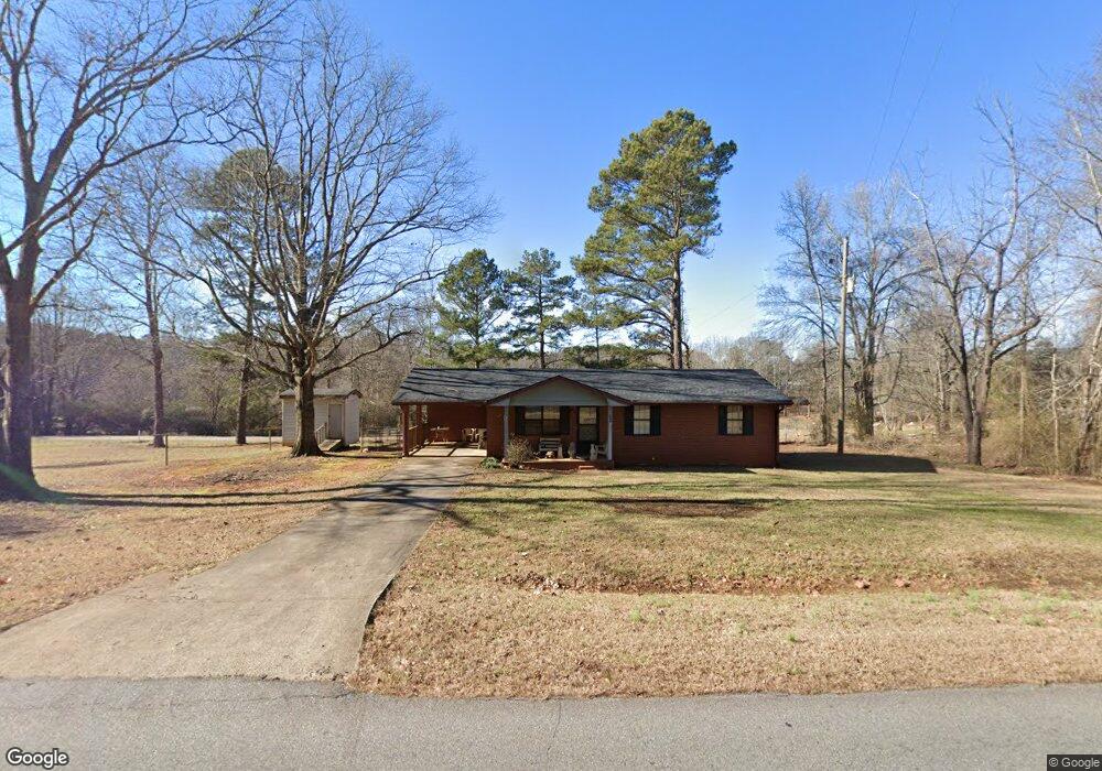
117 Nunnally Rd SE Winder, GA 30680
Estimated Value: $241,829 - $287,000
2
Beds
1
Bath
1,104
Sq Ft
$240/Sq Ft
Est. Value
About This Home
This home is located at 117 Nunnally Rd SE, Winder, GA 30680 and is currently estimated at $264,457, approximately $239 per square foot. 117 Nunnally Rd SE is a home located in Barrow County with nearby schools including Statham Elementary School, Bear Creek Middle School, and Winder-Barrow High School.
Ownership History
Date
Name
Owned For
Owner Type
Purchase Details
Closed on
Jan 9, 2024
Sold by
Brown Ora Mae
Bought by
Price Elizabeth Ann and Price Terry
Current Estimated Value
Purchase Details
Closed on
Mar 22, 2008
Sold by
Brown Bobby Gene Est
Bought by
Lingerfelt Geraldine Martin
Purchase Details
Closed on
Sep 10, 1992
Sold by
Brown Bobby Gene Est
Bought by
Brown Ora Mae And
Purchase Details
Closed on
Sep 15, 1983
Bought by
Brown Bobby Gene Est
Create a Home Valuation Report for This Property
The Home Valuation Report is an in-depth analysis detailing your home's value as well as a comparison with similar homes in the area
Home Values in the Area
Average Home Value in this Area
Purchase History
| Date | Buyer | Sale Price | Title Company |
|---|---|---|---|
| Price Elizabeth Ann | -- | -- | |
| Lingerfelt Geraldine Martin | -- | -- | |
| Brown Ora Mae And | -- | -- | |
| Brown Bobby Gene Est | $4,700 | -- |
Source: Public Records
Tax History Compared to Growth
Tax History
| Year | Tax Paid | Tax Assessment Tax Assessment Total Assessment is a certain percentage of the fair market value that is determined by local assessors to be the total taxable value of land and additions on the property. | Land | Improvement |
|---|---|---|---|---|
| 2024 | $1,402 | $59,056 | $16,000 | $43,056 |
| 2023 | $984 | $59,056 | $16,000 | $43,056 |
| 2022 | $1,098 | $40,780 | $16,000 | $24,780 |
| 2021 | $799 | $29,010 | $8,360 | $20,650 |
| 2020 | $735 | $26,920 | $6,270 | $20,650 |
| 2019 | $747 | $26,920 | $6,270 | $20,650 |
| 2018 | $728 | $26,920 | $6,270 | $20,650 |
| 2017 | $681 | $23,406 | $6,270 | $17,136 |
| 2016 | $600 | $23,644 | $6,270 | $17,374 |
| 2015 | $610 | $23,882 | $6,270 | $17,612 |
| 2014 | $509 | $20,922 | $3,072 | $17,850 |
| 2013 | -- | $20,336 | $3,072 | $17,264 |
Source: Public Records
Map
Nearby Homes
- 29 Nunnally Rd SE
- 532 Hemlock Dr
- 2141 Kirkland Dr
- 410 Tori Dr
- 1610 Trey Ln
- 1593 Highway 82
- 2075 Georgia Highway 211
- 2075 Highway 211 NE
- 315 Paige Way
- 364 Pleasant Hill Church Rd
- 197 Pleasant Hill Church Rd SE
- 162 Ashton Ln
- 364 Pleasant Hill Church Rd SE
- The Baxley Plan at Statham Place
- The Landon II Plan at Statham Place
- 2070 Dooley Town Rd
- 1849 Dooley Town Rd
- 1200 Breckinridge Trail
- 133 2nd St
- 1642 White Oak Dr
- 109 Nunnally Dr
- 21 Nunnally Dr
- 129 Nunnally Dr
- 114 Nunnally Rd SE
- 119 Nunnally Dr
- 75 Nunnally Rd SE
- 113 Nunnally Dr
- 137 Nunnally Dr
- 154 Nunnally Rd SE
- 120 Nunnally Rd SE
- 109 Nunnally Rd SE
- 160 Nunnally Rd SE
- 0 Nunnally Dr Unit 3200433
- 0 Nunnally Dr
- 105 Nunnally Dr
- 58 Nunnally Rd SE
- 101 Nunnally Dr
- 184 Jones Cir
- 192 Jones Cir
- 167 Nunnally Rd SE