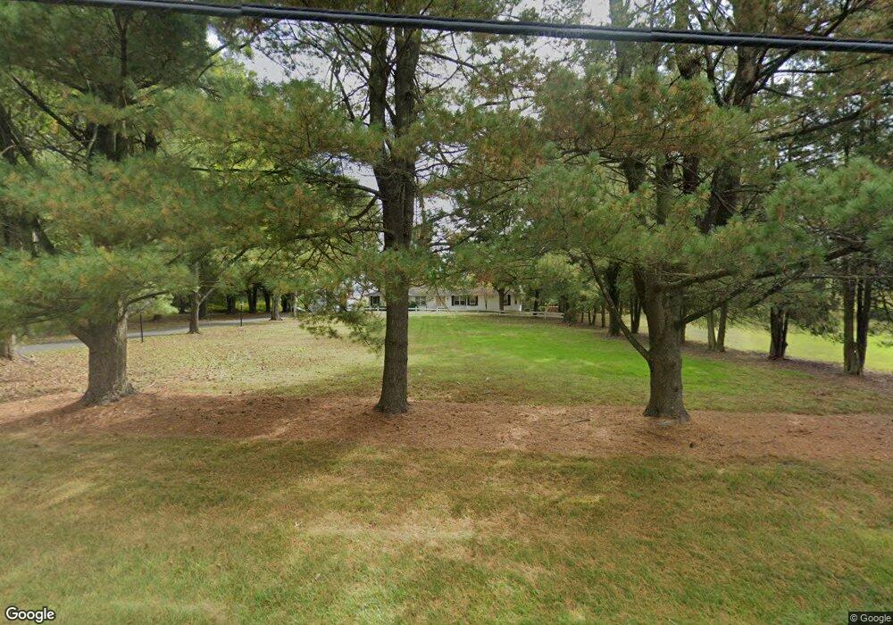
117 Pittstown Rd Pittstown, NJ 08867
Franklin NeighborhoodEstimated Value: $500,000 - $595,000
--
Bed
--
Bath
1,840
Sq Ft
$304/Sq Ft
Est. Value
About This Home
This home is located at 117 Pittstown Rd, Pittstown, NJ 08867 and is currently estimated at $560,150, approximately $304 per square foot. 117 Pittstown Rd is a home located in Hunterdon County with nearby schools including Franklin Township School, North Hunterdon High School, and The Goddard School - Clinton.
Ownership History
Date
Name
Owned For
Owner Type
Purchase Details
Closed on
Nov 3, 2020
Sold by
Bonk Nancy Ann and Last Will & Testament Of Loret
Bought by
Pasculli Holdings Llc
Current Estimated Value
Purchase Details
Closed on
Jul 27, 1998
Sold by
Chichonski Peter
Bought by
Pasculli Anthony G and Pasculli Jennifer J
Home Financials for this Owner
Home Financials are based on the most recent Mortgage that was taken out on this home.
Original Mortgage
$48,000
Interest Rate
6.92%
Create a Home Valuation Report for This Property
The Home Valuation Report is an in-depth analysis detailing your home's value as well as a comparison with similar homes in the area
Home Values in the Area
Average Home Value in this Area
Purchase History
| Date | Buyer | Sale Price | Title Company |
|---|---|---|---|
| Pasculli Holdings Llc | $375,000 | Fidelity National Ttl Ins Co | |
| Pasculli Anthony G | $108,000 | -- |
Source: Public Records
Mortgage History
| Date | Status | Borrower | Loan Amount |
|---|---|---|---|
| Previous Owner | Pasculli Anthony G | $48,000 |
Source: Public Records
Tax History Compared to Growth
Tax History
| Year | Tax Paid | Tax Assessment Tax Assessment Total Assessment is a certain percentage of the fair market value that is determined by local assessors to be the total taxable value of land and additions on the property. | Land | Improvement |
|---|---|---|---|---|
| 2025 | $12,535 | $417,000 | $196,900 | $220,100 |
| 2024 | $11,851 | $417,000 | $196,900 | $220,100 |
| 2023 | $11,851 | $417,000 | $196,900 | $220,100 |
| 2022 | $11,776 | $417,000 | $196,900 | $220,100 |
| 2021 | $11,101 | $417,000 | $196,900 | $220,100 |
| 2020 | $11,409 | $417,000 | $196,900 | $220,100 |
| 2019 | $11,522 | $417,000 | $196,900 | $220,100 |
| 2018 | $10,880 | $417,000 | $196,900 | $220,100 |
| 2017 | $10,671 | $417,000 | $196,900 | $220,100 |
| 2016 | $10,367 | $417,000 | $196,900 | $220,100 |
| 2015 | $10,337 | $417,000 | $196,900 | $220,100 |
| 2014 | $10,550 | $417,000 | $196,900 | $220,100 |
Source: Public Records
Map
Nearby Homes
- 6 Race St
- Esquire Place Plan at Rolling Hills Estates
- 210 Sidney Rd
- 60 Perryville Rd
- 22 Sam Bonnell Dr Unit C0204
- 9 Evergreen Dr
- 17 Sam Bonnell Dr
- 19 Crossway Unit 2611A
- 4 Lingert Ave
- 89 N Slope
- 35 Lingert Ave
- 18 Union Rd
- 70 Sidney School Rd
- 54 W Main St
- 69 Sidney School Rd
- 59 Meadowview Dr
- 54 Meadowview Dr Unit 6F
- 9 Stires Way
- 58 Oakwood Blvd
- 6 Wyckoff Dr
- 115 Pittstown Rd
- 113 Pittstown Rd
- 116 Pittstown Rd
- 118 Pittstown Rd
- 112 Pittstown Rd
- 129 Pittstown Rd
- 106 Pittstown Road Route 513
- 111 Pittstown Rd
- 48 Grandin-107 Pittstown Rd
- 107 Pittstown Rd
- 106 Pittstown Rd Unit 110
- 106 Pittstown Rd
- 106 513 Route
- 140 Pittstown Rd
- 110 Pittstown Rd Unit A
- 110 Pittstown Rd
- 19 Mathew Dr
- 9 Grandin Rd
- 17 Mathew Dr
- 7 Grandin Rd