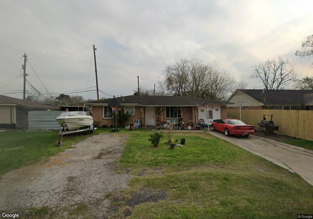
117 Red Ripple Rd Houston, TX 77076
Northside-Northline NeighborhoodEstimated Value: $187,923 - $225,000
2
Beds
1
Bath
1,217
Sq Ft
$166/Sq Ft
Est. Value
About This Home
This home is located at 117 Red Ripple Rd, Houston, TX 77076 and is currently estimated at $201,731, approximately $165 per square foot. 117 Red Ripple Rd is a home located in Harris County with nearby schools including Wesley Elementary School, Williams Middle, and Booker T Washington Sr High.
Ownership History
Date
Name
Owned For
Owner Type
Purchase Details
Closed on
Oct 28, 2020
Sold by
Campos Salvador
Bought by
Tones Delia
Current Estimated Value
Purchase Details
Closed on
Mar 6, 2009
Sold by
Fanner Larry Bernard
Bought by
117 Red Ripple Land Trust and Campos Salvador
Purchase Details
Closed on
Oct 15, 2004
Sold by
117 Red Ripple Rd Trust
Bought by
Fanner Larry Bernard
Home Financials for this Owner
Home Financials are based on the most recent Mortgage that was taken out on this home.
Original Mortgage
$52,000
Interest Rate
5.82%
Mortgage Type
Purchase Money Mortgage
Create a Home Valuation Report for This Property
The Home Valuation Report is an in-depth analysis detailing your home's value as well as a comparison with similar homes in the area
Home Values in the Area
Average Home Value in this Area
Purchase History
| Date | Buyer | Sale Price | Title Company |
|---|---|---|---|
| Tones Delia | -- | None Available | |
| 117 Red Ripple Land Trust | -- | None Available | |
| Fanner Larry Bernard | -- | Fidelity National Title |
Source: Public Records
Mortgage History
| Date | Status | Borrower | Loan Amount |
|---|---|---|---|
| Previous Owner | Fanner Larry Bernard | $52,000 | |
| Closed | Fanner Larry Bernard | $24,000 |
Source: Public Records
Tax History Compared to Growth
Tax History
| Year | Tax Paid | Tax Assessment Tax Assessment Total Assessment is a certain percentage of the fair market value that is determined by local assessors to be the total taxable value of land and additions on the property. | Land | Improvement |
|---|---|---|---|---|
| 2025 | $3,880 | $185,419 | $70,178 | $115,241 |
| 2024 | $3,880 | $185,419 | $70,178 | $115,241 |
| 2023 | $3,880 | $175,795 | $70,178 | $105,617 |
| 2022 | $2,878 | $130,717 | $49,125 | $81,592 |
| 2021 | $2,968 | $127,362 | $49,125 | $78,237 |
| 2020 | $2,876 | $118,777 | $49,125 | $69,652 |
| 2019 | $2,737 | $108,180 | $35,089 | $73,091 |
| 2018 | $1,919 | $75,825 | $10,527 | $65,298 |
| 2017 | $1,917 | $75,825 | $10,527 | $65,298 |
| 2016 | $1,917 | $75,825 | $10,527 | $65,298 |
| 2015 | $1,654 | $64,355 | $10,527 | $53,828 |
| 2014 | $1,654 | $64,355 | $10,527 | $53,828 |
Source: Public Records
Map
Nearby Homes
- 201 W Rosamond St Unit 41
- 201 W Rosamond St Unit 53
- 201 W Rosamond St Unit 61
- 327 Yale Oaks Ln
- 334 Yale Oaks Ln
- 304 W Hamilton St
- 302 W Hamilton St
- 304 W Hamilton Lot B St
- 304 W St
- 304 W St E
- 401 New Haven Dr
- 410 Yale Oaks Ln
- 6057 Yale St
- 304 W Hamilton Lot C St
- 422 Yale Oaks Ln
- 427 Yale Oaks Ln
- 434 Yale Oaks Ln
- 406 Red Ripple Rd
- 5518 Cortlandt St Unit B
- 5518 Cortlandt St Unit A
- 121 Red Ripple Rd
- 113 Red Ripple Rd
- 125 Red Ripple Rd
- 118 Ishmeal St
- 122 Ishmeal St
- 129 Red Ripple Rd
- 126 Ishmeal St
- 122 Red Ripple Rd
- 118 Red Ripple Rd
- 109 Red Ripple Rd
- 126 Red Ripple Rd
- 6001 Dowber Rd
- 130 Ishmeal St
- 133 Red Ripple Rd
- 130 Red Ripple Rd
- 134 Ishmeal St
- 105 Red Ripple Rd
- 6005 Dowber Rd
- 201 Red Ripple Rd
- 134 Red Ripple Rd