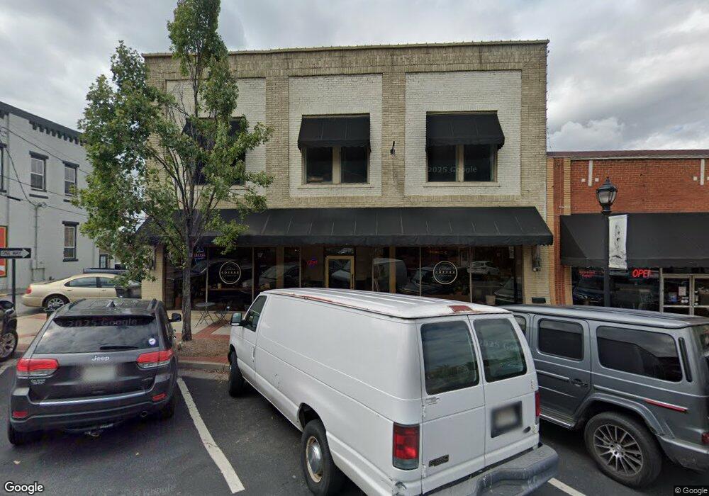
117 S Wall St Calhoun, GA 30701
Estimated Value: $558,832
Studio
--
Bath
9,270
Sq Ft
$60/Sq Ft
Est. Value
About This Home
This home is located at 117 S Wall St, Calhoun, GA 30701 and is currently estimated at $558,832, approximately $60 per square foot. 117 S Wall St is a home located in Gordon County with nearby schools including Calhoun Elementary School, Calhoun Middle School, and Calhoun High School.
Ownership History
Date
Name
Owned For
Owner Type
Purchase Details
Closed on
Jul 1, 2022
Sold by
Esec Llc
Bought by
Hodge Family Investments Llc
Current Estimated Value
Purchase Details
Closed on
Aug 3, 2015
Sold by
Oothcalooga Rptg Tk Llc
Bought by
Esec Llc
Purchase Details
Closed on
Mar 13, 2013
Sold by
Oothcalooga-Rptg-Gk Llc
Bought by
Oothcalooga-Rptg-Tk Llc
Purchase Details
Closed on
Dec 28, 2011
Sold by
Rptg Limited Partnership The
Bought by
Oothcalooga-Rptg-Gk Llc
Purchase Details
Closed on
Dec 11, 1995
Bought by
Rptg Limited Partnership The
Purchase Details
Closed on
Nov 3, 1994
Bought by
King Raymond
Create a Home Valuation Report for This Property
The Home Valuation Report is an in-depth analysis detailing your home's value as well as a comparison with similar homes in the area
Purchase History
| Date | Buyer | Sale Price | Title Company |
|---|---|---|---|
| Hodge Family Investments Llc | $500,000 | -- | |
| Esec Llc | $150,000 | -- | |
| Oothcalooga-Rptg-Tk Llc | -- | -- | |
| Oothcalooga-Rptg-Gk Llc | -- | -- | |
| Rptg Limited Partnership The | $98,300 | -- | |
| King Raymond | $85,000 | -- |
Source: Public Records
Tax History
| Year | Tax Paid | Tax Assessment Tax Assessment Total Assessment is a certain percentage of the fair market value that is determined by local assessors to be the total taxable value of land and additions on the property. | Land | Improvement |
|---|---|---|---|---|
| 2025 | $3,322 | $126,440 | $25,760 | $100,680 |
| 2023 | $3,629 | $129,080 | $25,760 | $103,320 |
| 2022 | $1,253 | $131,720 | $25,760 | $105,960 |
| 2021 | $4,159 | $139,680 | $25,760 | $113,920 |
| 2020 | $4,430 | $147,640 | $25,760 | $121,880 |
| 2019 | $4,424 | $147,640 | $25,760 | $121,880 |
| 2018 | $1,378 | $143,040 | $25,760 | $117,280 |
| 2017 | $1,406 | $143,040 | $25,760 | $117,280 |
Source: Public Records
Map
Nearby Homes
- 105 Rory Dr
- 107 Rory Dr
- 109 Peterson St
- 315 E Line St
- 101 Victory Ct
- 200 Ridgeview Trail
- 198 Hillcrest Dr
- 229 Hillcrest Dr
- 106 Mac Ave
- 0 Resaca Lafayette Rd Unit 10706558
- 0 Resaca Lafayette Rd Unit 10706565
- 156 Saddle Ridge Trail
- 138 Saddle Ridge Trail
- 00 Resaca Lafayette Rd
- 0 Resaca Lafayette Rd Unit 7731810
- 1401 Ga-53
- 515 Woodlawn Ave
- 421 Boulevard Heights
- 224 Hillcrest Dr
- 107 Cornwell Way
- 111 N Wall St
- 00 Mcconnell Rd
- 201 S Wall St Unit 201(3)
- 201 S Wall St
- 104 Oothcalooga St
- 000 Oothcalooga St
- 0 Oothcalooga St Unit 8822463
- 0 Oothcalooga St Unit 8431505
- 108 Oothcalooga St
- 200 S Park Ave
- 106 Court St
- 101 S Wall St
- 110 Court St
- 209 S Wall St
- 100 S Court St
- 1 U S 41
- N U S 41 Unit 85
- S U S 41
- U U S 41
- S S Court St
Your Personal Tour Guide
Ask me questions while you tour the home.