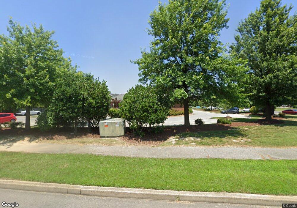
117 Saint Patricks Dr Waldorf, MD 20603
Estimated Value: $4,010,650
--
Bed
--
Bath
6,699
Sq Ft
$599/Sq Ft
Est. Value
About This Home
This home is located at 117 Saint Patricks Dr, Waldorf, MD 20603 and is currently estimated at $4,010,650, approximately $598 per square foot. 117 Saint Patricks Dr is a home located in Charles County with nearby schools including Arthur Middleton Elementary School, Mattawoman Middle School, and Westlake High School.
Ownership History
Date
Name
Owned For
Owner Type
Purchase Details
Closed on
Oct 19, 2018
Sold by
Professional Resouce Development Inc
Bought by
Prd Owner Llc
Current Estimated Value
Home Financials for this Owner
Home Financials are based on the most recent Mortgage that was taken out on this home.
Original Mortgage
$180,500
Outstanding Balance
$158,726
Interest Rate
4.9%
Mortgage Type
Commercial
Estimated Equity
$3,851,924
Purchase Details
Closed on
Oct 19, 2011
Sold by
New Builder Llc
Bought by
Professional Resource Development
Purchase Details
Closed on
Oct 4, 2011
Sold by
New Builder Llc
Bought by
Professional Resource Development Inc
Purchase Details
Closed on
Dec 19, 2003
Sold by
St Charles Community Llc
Bought by
New Builder Llc
Create a Home Valuation Report for This Property
The Home Valuation Report is an in-depth analysis detailing your home's value as well as a comparison with similar homes in the area
Home Values in the Area
Average Home Value in this Area
Purchase History
| Date | Buyer | Sale Price | Title Company |
|---|---|---|---|
| Prd Owner Llc | -- | First American Title Ins Co | |
| Professional Resource Development | $2,024,921 | -- | |
| Professional Resource Development Inc | $2,024,921 | None Available | |
| Professional Resource Development | $2,024,921 | -- | |
| New Builder Llc | $700,000 | -- |
Source: Public Records
Mortgage History
| Date | Status | Borrower | Loan Amount |
|---|---|---|---|
| Open | Prd Owner Llc | $180,500 |
Source: Public Records
Tax History Compared to Growth
Tax History
| Year | Tax Paid | Tax Assessment Tax Assessment Total Assessment is a certain percentage of the fair market value that is determined by local assessors to be the total taxable value of land and additions on the property. | Land | Improvement |
|---|---|---|---|---|
| 2025 | $49,917 | $1,841,200 | $682,800 | $1,158,400 |
| 2024 | $24,710 | $1,851,800 | $682,800 | $1,169,000 |
| 2023 | $25,454 | $1,781,267 | $0 | $0 |
| 2022 | $22,801 | $1,710,733 | $0 | $0 |
| 2021 | $21,866 | $1,640,200 | $682,800 | $957,400 |
| 2020 | $21,866 | $1,640,200 | $682,800 | $957,400 |
| 2019 | $24,012 | $1,802,333 | $0 | $0 |
| 2018 | $23,607 | $1,792,500 | $682,800 | $1,109,700 |
| 2017 | $23,045 | $1,765,500 | $0 | $0 |
| 2016 | -- | $1,738,500 | $0 | $0 |
| 2015 | $18,021 | $1,711,500 | $0 | $0 |
| 2014 | $18,021 | $1,650,200 | $0 | $0 |
Source: Public Records
Map
Nearby Homes
- 4058 Bluebird Dr
- 4065 Bluebird Dr
- 4071 Bluebird Dr
- 4044 Bluebird Dr
- 11207 Barnswallow Place
- 4130 Lancaster Cir
- 4120 Lancaster Cir
- 4419 Eagle Ct
- 4362 Eagle Ct
- 11124 Filberts Ct
- 5318 Halibut Place
- 4574 Grouse Place
- 3298 Old Washington Rd
- 5113 Garibaldi Place
- 4687 Gadwell Place
- 2930 Angel Place
- 4850 Magpie Ln
- 110 Sherman Rd
- 10800 United Ct
- 5112 Blacksmith Ct
- 3436 Fordington Place
- 3440 Fordington Place
- 3432 Fordington Place
- 3444 Fordington Place
- 3428 Fordington Place
- 3448 Fordington Place
- 3452 Fordington Place
- 3420 Fordington Place
- 3416 Fordington Place
- 3412 Fordington Place
- 3408 Fordington Place
- 3404 Fordington Place
- 3400 Fordington Place
- 0 Western Pkwy Unit CH7424993
- 0 Western Pkwy Unit CH7424982
- 0 Western Pkwy Unit 1009210638
- 0 Western Pkwy Unit 1009210572
- 3441 Fordington Place
- 3394 Fordington Place
- 3445 Fordington Place
