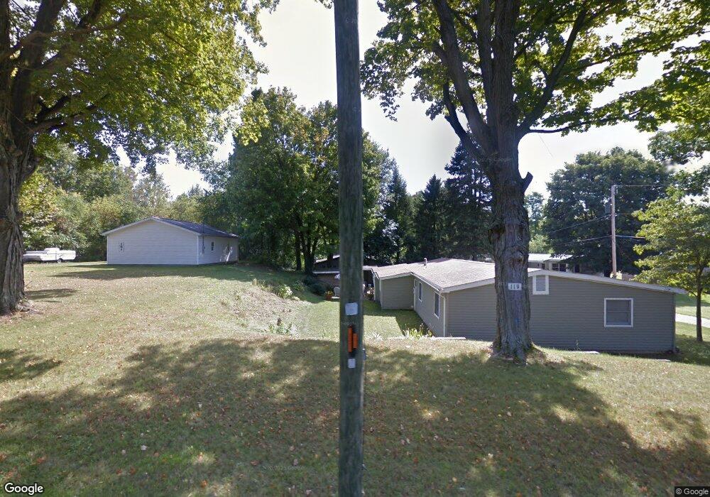
117 Scranton Ave Unit 16 Minerva, OH 44657
Estimated Value: $157,472 - $200,000
2
Beds
1
Bath
1,424
Sq Ft
$120/Sq Ft
Est. Value
About This Home
This home is located at 117 Scranton Ave Unit 16, Minerva, OH 44657 and is currently estimated at $171,368, approximately $120 per square foot. 117 Scranton Ave Unit 16 is a home located in Carroll County with nearby schools including Minerva Elementary School, Minerva Middle School, and Minerva High School.
Ownership History
Date
Name
Owned For
Owner Type
Purchase Details
Closed on
Oct 18, 2025
Sold by
Logan Pamela
Bought by
Cassidy Jason Maxwell and Cassidy Savannah
Current Estimated Value
Purchase Details
Closed on
Nov 17, 2008
Sold by
Jordan Patricia A and Jordan Tim
Bought by
Mcgrath Steven R
Home Financials for this Owner
Home Financials are based on the most recent Mortgage that was taken out on this home.
Original Mortgage
$36,000
Interest Rate
6.09%
Mortgage Type
Purchase Money Mortgage
Create a Home Valuation Report for This Property
The Home Valuation Report is an in-depth analysis detailing your home's value as well as a comparison with similar homes in the area
Home Values in the Area
Average Home Value in this Area
Purchase History
| Date | Buyer | Sale Price | Title Company |
|---|---|---|---|
| Cassidy Jason Maxwell | $35,000 | None Listed On Document | |
| Mcgrath Steven R | $40,000 | Attorney |
Source: Public Records
Mortgage History
| Date | Status | Borrower | Loan Amount |
|---|---|---|---|
| Previous Owner | Mcgrath Steven R | $36,000 |
Source: Public Records
Tax History Compared to Growth
Tax History
| Year | Tax Paid | Tax Assessment Tax Assessment Total Assessment is a certain percentage of the fair market value that is determined by local assessors to be the total taxable value of land and additions on the property. | Land | Improvement |
|---|---|---|---|---|
| 2024 | $1,499 | $46,530 | $3,830 | $42,700 |
| 2023 | $2,027 | $46,530 | $3,830 | $42,700 |
| 2022 | $2,027 | $38,610 | $3,170 | $35,440 |
| 2021 | $1,742 | $38,610 | $3,170 | $35,440 |
| 2020 | $1,828 | $38,520 | $3,080 | $35,440 |
| 2019 | $1,599 | $38,518 | $3,080 | $35,438 |
| 2018 | $1,359 | $30,380 | $3,150 | $27,230 |
| 2017 | $1,396 | $30,380 | $3,150 | $27,230 |
| 2016 | $1,426 | $27,870 | $2,890 | $24,980 |
| 2015 | $1,329 | $27,870 | $2,890 | $24,980 |
| 2014 | $1,366 | $27,870 | $2,890 | $24,980 |
| 2013 | $1,366 | $27,870 | $2,890 | $24,980 |
Source: Public Records
Map
Nearby Homes
- 806 S Grant Blvd
- 503 Murray Ave Unit 19
- 203 S Main St Unit 11
- 402 King St Unit 21
- 802 Elizabeth St
- 401 Prospect St
- 9076 E Southview St Unit 35
- 113 W 1st St
- 701 E Lincolnway
- 0 Lynnwood Dr
- 729 Lynnwood Dr
- 821 Lynnwood Dr
- 0 Lincoln St SE
- 0 Surrey Dr SE
- 4165 Surrey Dr SE
- 22141 Mcdaniel St
- 0 Leopard Rd NW Unit 3
- 0 Leopard Rd NW Unit 5
- 0 Leopard Rd NW
- 0 Leopard Rd NW Unit 6
- 161 Scranton Ave Unit 2A
- 115 Scranton Ave Unit 2A
- 119 Scranton Ave Unit 16
- 201 Scranton Ave Unit 16
- 111 Scranton Ave Unit 2A
- 109 Scranton Ave
- 203 Scranton Ave Unit 16
- 205 Scranton Ave Unit 16
- 108 Scranton Ave Unit 2A
- 207 Scranton Ave Unit 16
- 106 Scranton Ave Unit 2A
- 104 Scranton Ave Unit 2A
- 209 Scranton Ave Unit 16
- 102 Scranton Ave Unit 2A
- 101 Scranton Ave Unit 16
- 211 Scranton Ave Unit 16
- 208 Scranton Ave Unit 2A
- 208 Scranton Ave Unit 28
- 208 Scranton Ave
- 213 Scranton Ave