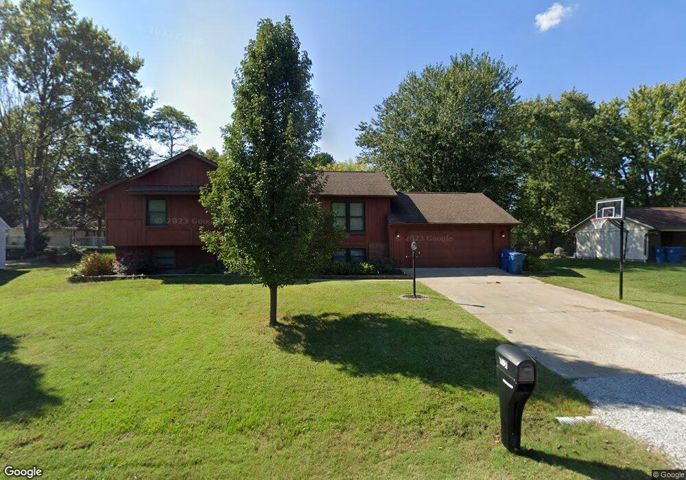
117 Stable Dr Carterville, IL 62918
Estimated Value: $165,000 - $215,000
Studio
--
Bath
1,104
Sq Ft
$170/Sq Ft
Est. Value
About This Home
This home is located at 117 Stable Dr, Carterville, IL 62918 and is currently estimated at $187,869, approximately $170 per square foot. 117 Stable Dr is a home located in Williamson County with nearby schools including Tri-C Elementary School, Carterville Junior High School, and Carterville High School.
Ownership History
Date
Name
Owned For
Owner Type
Purchase Details
Closed on
May 27, 2021
Sold by
Earls Cynthia E
Bought by
Daugherty Mallory M and Banks William Chad
Current Estimated Value
Home Financials for this Owner
Home Financials are based on the most recent Mortgage that was taken out on this home.
Original Mortgage
$136,000
Outstanding Balance
$123,568
Interest Rate
3.13%
Mortgage Type
New Conventional
Estimated Equity
$64,301
Create a Home Valuation Report for This Property
The Home Valuation Report is an in-depth analysis detailing your home's value as well as a comparison with similar homes in the area
Home Values in the Area
Average Home Value in this Area
Purchase History
| Date | Buyer | Sale Price | Title Company |
|---|---|---|---|
| Daugherty Mallory M | $170,000 | Mayberry Brandon C | |
| Daugherty Mallory M | $170,000 | Mayberry Brandon C |
Source: Public Records
Mortgage History
| Date | Status | Borrower | Loan Amount |
|---|---|---|---|
| Open | Daugherty Mallory M | $136,000 | |
| Closed | Daugherty Mallory M | $136,000 |
Source: Public Records
Tax History
| Year | Tax Paid | Tax Assessment Tax Assessment Total Assessment is a certain percentage of the fair market value that is determined by local assessors to be the total taxable value of land and additions on the property. | Land | Improvement |
|---|---|---|---|---|
| 2025 | $3,935 | $57,780 | $7,120 | $50,660 |
| 2024 | $4,202 | $57,780 | $7,120 | $50,660 |
| 2023 | $3,935 | $57,780 | $7,120 | $50,660 |
| 2022 | $2,813 | $48,960 | $6,030 | $42,930 |
| 2021 | $2,737 | $47,190 | $5,810 | $41,380 |
| 2020 | $2,737 | $44,590 | $5,490 | $39,100 |
| 2019 | $2,510 | $44,590 | $5,490 | $39,100 |
| 2018 | $2,510 | $44,590 | $5,490 | $39,100 |
| 2017 | $2,410 | $44,590 | $5,490 | $39,100 |
| 2015 | $2,316 | $42,240 | $5,200 | $37,040 |
| 2013 | $2,232 | $42,240 | $5,200 | $37,040 |
| 2012 | $2,232 | $42,240 | $5,200 | $37,040 |
Source: Public Records
Map
Nearby Homes
- 1106 Falcon Ct
- 1008 Jeffrey Dr
- 1010 Jeffrey Dr
- 117 Prairie Rd
- TBD N Greenbriar Rd
- 1211 Mockingbird Ln
- TBD B Greenbriar Rd
- TBD Grace Ln
- 307 Noah Ln
- 402 Noah Ln
- 412 Noah Ln
- 704 Jonathan Ln
- 3160 Sycamore Rd
- 500 Kramer St
- 403 Oakwood Dr
- 600 W Grand Ave
- 102 Townhouse Dr
- 806 Rodd St
- 12527 N Greenbriar Rd
- 635 Anderson St
- 115 Stable Dr
- 119 Stable Dr
- 112 Weisbrook Ln
- 112 Weisbrook Ln Unit Lot 3
- 114 Stable Dr
- 118 Weisbrook Ln
- 116 Stable Dr
- 112 Stable Dr
- 113 Stable Dr
- 110 Weisbrook Ln
- 118 Stable Dr
- 110 Stable Dr
- 111 Stable Dr
- 117 Weisbrook Ln
- 113 Weisbrook Ln
- 119 Weisbrook Ln
- 123 Stable Dr
- 108 Weisbrook Ln
- 109 Stable Dr
- 125 Stable Dr
Your Personal Tour Guide
Ask me questions while you tour the home.