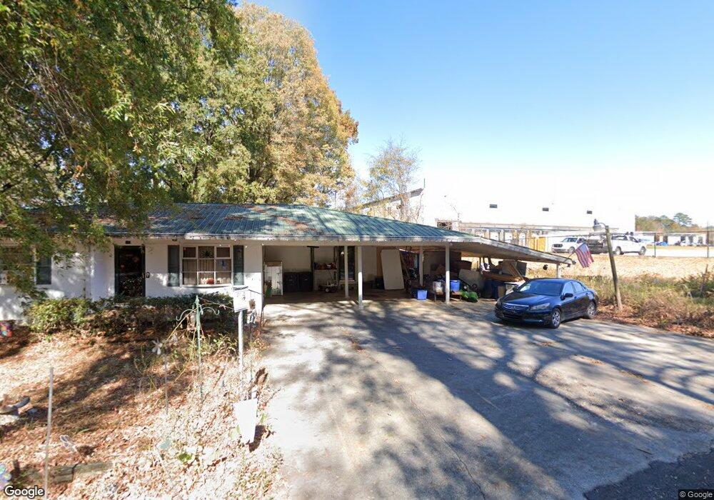
117 Stone Loop Calhoun, GA 30701
Estimated Value: $223,000 - $295,000
4
Beds
2
Baths
2,084
Sq Ft
$118/Sq Ft
Est. Value
About This Home
This home is located at 117 Stone Loop, Calhoun, GA 30701 and is currently estimated at $245,676, approximately $117 per square foot. 117 Stone Loop is a home located in Gordon County with nearby schools including Calhoun Primary School, Calhoun Elementary School, and Calhoun Middle School.
Ownership History
Date
Name
Owned For
Owner Type
Purchase Details
Closed on
Dec 4, 2020
Sold by
Baggett Leisa Withrow
Bought by
Parker Dawn Marie Elaine and Mcbride David W
Current Estimated Value
Home Financials for this Owner
Home Financials are based on the most recent Mortgage that was taken out on this home.
Original Mortgage
$137,575
Outstanding Balance
$122,483
Interest Rate
2.7%
Mortgage Type
New Conventional
Estimated Equity
$123,193
Purchase Details
Closed on
Jun 12, 2019
Sold by
Withrow James Edward Estate
Bought by
Withrow Baggett Leisa
Create a Home Valuation Report for This Property
The Home Valuation Report is an in-depth analysis detailing your home's value as well as a comparison with similar homes in the area
Home Values in the Area
Average Home Value in this Area
Purchase History
| Date | Buyer | Sale Price | Title Company |
|---|---|---|---|
| Parker Dawn Marie Elaine | $136,200 | -- | |
| Withrow Baggett Leisa | -- | -- |
Source: Public Records
Mortgage History
| Date | Status | Borrower | Loan Amount |
|---|---|---|---|
| Open | Parker Dawn Marie Elaine | $137,575 |
Source: Public Records
Tax History Compared to Growth
Tax History
| Year | Tax Paid | Tax Assessment Tax Assessment Total Assessment is a certain percentage of the fair market value that is determined by local assessors to be the total taxable value of land and additions on the property. | Land | Improvement |
|---|---|---|---|---|
| 2024 | $2,377 | $85,200 | $3,840 | $81,360 |
| 2023 | $2,221 | $79,640 | $3,840 | $75,800 |
| 2022 | $689 | $74,440 | $3,840 | $70,600 |
| 2021 | $1,603 | $55,840 | $2,680 | $53,160 |
| 2020 | $1,209 | $40,284 | $2,680 | $37,604 |
| 2019 | $473 | $40,284 | $2,680 | $37,604 |
| 2018 | $349 | $38,196 | $2,680 | $35,516 |
| 2017 | $337 | $36,236 | $2,720 | $33,516 |
| 2016 | $337 | $36,236 | $2,720 | $33,516 |
| 2015 | $329 | $35,116 | $2,720 | $32,396 |
| 2014 | $318 | $34,599 | $2,730 | $31,869 |
Source: Public Records
Map
Nearby Homes
- 1401 U S 41
- 0 Richardson Rd SE Unit 10474273
- 0 Richardson Rd SE Unit 7537183
- 201 Porch Loop SE
- 1311 Us Highway 41
- 220 Porch Loop SE
- 271 Old Belwood Rd SE
- 0 W Belmont Dr Unit 10489910
- 306 E Belmont Dr
- 111 Lewis Dr SE
- 102 Sylvania Cir
- 0 Lovers Lane Rd SE Unit 10509663
- 00 Curtis Cir
- 490 McDaniel Station Rd SW
- 506 McDaniel Station Rd SW
- 458 McDaniel Station Rd SW
- 474 McDaniel Station Rd SW
- 199 Cherry St SE
- 117 Stone Loop
- 115 Stone Loop
- 113 Stone Loop
- 109 Stone Loop
- 111 Stone Loop
- 107 Stone Loop
- 110 Stone Loop
- 106 Stone Loop
- 120 Stone Loop
- 0 Stone Loop SE
- 104 Stone Loop
- 128 Stonecrest Dr
- 102 Stone Loop
- 102 Stone Loop
- 100 Stone Loop
- 100 Stone Loop
- 1406 Us 41 S
- 1400 Us 41 S
- 239 Stone Loop
- 102 Stone Loop SE