117 Stone Rd Mineral Springs, AR 71851
Estimated Value: $88,000 - $122,000
--
Bed
2
Baths
1,400
Sq Ft
$75/Sq Ft
Est. Value
About This Home
This home is located at 117 Stone Rd, Mineral Springs, AR 71851 and is currently estimated at $105,000, approximately $75 per square foot. 117 Stone Rd is a home located in Howard County with nearby schools including Mineral Springs Elementary School and Mineral Springs High School.
Ownership History
Date
Name
Owned For
Owner Type
Purchase Details
Closed on
Jun 3, 2015
Bought by
Ammari Razan
Current Estimated Value
Purchase Details
Closed on
Jun 23, 2014
Bought by
Certified To State For 2011 & 2012 Taxes
Purchase Details
Closed on
Feb 23, 2012
Bought by
Carlson Family 401K Trust
Purchase Details
Closed on
Jan 20, 2012
Sold by
Carlson Family Trust
Bought by
Zander Tate & Pratt Llc
Purchase Details
Closed on
Oct 22, 2004
Sold by
Not Provided
Bought by
Taxe Redeemed For 99 02
Purchase Details
Closed on
Jan 10, 1910
Bought by
Cheatham
Create a Home Valuation Report for This Property
The Home Valuation Report is an in-depth analysis detailing your home's value as well as a comparison with similar homes in the area
Home Values in the Area
Average Home Value in this Area
Purchase History
| Date | Buyer | Sale Price | Title Company |
|---|---|---|---|
| Ammari Razan | -- | -- | |
| Certified To State For 2011 & 2012 Taxes | -- | -- | |
| Carlson Family 401K Trust | -- | -- | |
| Zander Tate & Pratt Llc | $44,000 | None Available | |
| Taxe Redeemed For 99 02 | -- | -- | |
| Cheatham | -- | -- |
Source: Public Records
Tax History Compared to Growth
Tax History
| Year | Tax Paid | Tax Assessment Tax Assessment Total Assessment is a certain percentage of the fair market value that is determined by local assessors to be the total taxable value of land and additions on the property. | Land | Improvement |
|---|---|---|---|---|
| 2024 | $7 | $160 | $160 | $0 |
| 2023 | $7 | $160 | $160 | $0 |
| 2022 | $34 | $760 | $160 | $600 |
| 2021 | $34 | $760 | $160 | $600 |
| 2020 | $34 | $760 | $160 | $600 |
| 2019 | $34 | $760 | $160 | $600 |
| 2018 | $47 | $1,050 | $140 | $910 |
| 2017 | $46 | $1,050 | $140 | $910 |
| 2016 | $47 | $1,050 | $140 | $910 |
| 2015 | $43 | $1,050 | $140 | $910 |
| 2014 | $43 | $1,050 | $140 | $910 |
| 2013 | $87 | $2,110 | $1,200 | $910 |
Source: Public Records
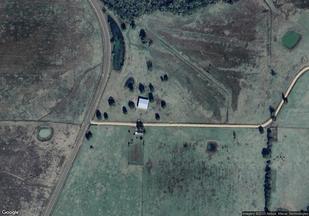
Map
Nearby Homes
- 161 Funderburg Rd
- 398 Barton Bethel Rd
- 801 E Runnels St
- 320 S Lewis St
- 121 W Lee St
- 114 W Runnels St
- 120 N Holcomb St
- 141 N Church St
- 130 W Highway 32 W
- 2244 Highway 355 S
- TBD Highway 355 S
- 503 Trenton Blvd
- 209 Clermont St
- Lot 1 Hempstead 197 Rd
- 207 Hosey Ln
- 224 Southlake Rd
- TBD Hempstead 48 Rd
- 141 Valley View Ln
- 0 Country Club Rd
- 247 Southlake Rd
- 113 Stone Rd
- 119 Stone Rd
- 852 Martin Luther King jr Dr
- 118 Stone Rd
- 122 Stone Rd
- 859 Martin Luther King jr Dr
- 863 Martin Luther King jr Dr
- 853 Martin Luther King jr Dr
- 109 Tower St
- 867 Martin Luther King jr Dr
- 869 Martin Luther King jr Dr
- 211 W Side St
- 873 Martin Luther King jr Dr
- 108 Washington St
- 878 Martin Luther King jr Dr
- 877 Martin Luther King jr Dr
- 206 Washington St
- 850 Martin Luther King jr Dr
- 825 Martin Luther King jr Dr
- 880 Martin Luther King jr Dr