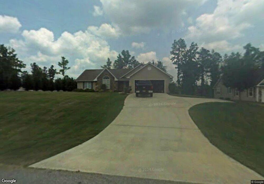
117 Stonebrook Dr Unit 29 Demorest, GA 30535
Estimated Value: $318,681 - $367,000
3
Beds
2
Baths
1,763
Sq Ft
$193/Sq Ft
Est. Value
About This Home
This home is located at 117 Stonebrook Dr Unit 29, Demorest, GA 30535 and is currently estimated at $340,170, approximately $192 per square foot. 117 Stonebrook Dr Unit 29 is a home located in Habersham County with nearby schools including Demorest Elementary School, Wilbanks Middle School, and Habersham Success Academy.
Ownership History
Date
Name
Owned For
Owner Type
Purchase Details
Closed on
Jul 16, 2021
Sold by
Montgomery Mary J
Bought by
Carlson Brandy
Current Estimated Value
Home Financials for this Owner
Home Financials are based on the most recent Mortgage that was taken out on this home.
Original Mortgage
$237,500
Outstanding Balance
$215,593
Interest Rate
2.93%
Mortgage Type
New Conventional
Estimated Equity
$124,577
Purchase Details
Closed on
Dec 21, 2012
Sold by
Freeman Sherwood Clinton J
Bought by
Montgomery Mary J
Purchase Details
Closed on
Aug 24, 2009
Sold by
Nix Steven L
Bought by
Freeman Sherwood Clinton
Home Financials for this Owner
Home Financials are based on the most recent Mortgage that was taken out on this home.
Original Mortgage
$131,700
Interest Rate
5.14%
Mortgage Type
New Conventional
Create a Home Valuation Report for This Property
The Home Valuation Report is an in-depth analysis detailing your home's value as well as a comparison with similar homes in the area
Home Values in the Area
Average Home Value in this Area
Purchase History
| Date | Buyer | Sale Price | Title Company |
|---|---|---|---|
| Carlson Brandy | $250,000 | -- | |
| Montgomery Mary J | $153,000 | -- | |
| Freeman Sherwood Clinton | $169,000 | -- |
Source: Public Records
Mortgage History
| Date | Status | Borrower | Loan Amount |
|---|---|---|---|
| Open | Carlson Brandy | $237,500 | |
| Previous Owner | Freeman Sherwood Clinton | $131,700 |
Source: Public Records
Tax History Compared to Growth
Tax History
| Year | Tax Paid | Tax Assessment Tax Assessment Total Assessment is a certain percentage of the fair market value that is determined by local assessors to be the total taxable value of land and additions on the property. | Land | Improvement |
|---|---|---|---|---|
| 2025 | $2,444 | $132,632 | $10,000 | $122,632 |
| 2024 | -- | $132,052 | $10,000 | $122,052 |
| 2023 | $1,858 | $110,748 | $10,000 | $100,748 |
| 2022 | $2,218 | $96,284 | $10,000 | $86,284 |
| 2021 | $698 | $78,372 | $10,000 | $68,372 |
| 2020 | $694 | $66,796 | $8,000 | $58,796 |
| 2019 | $695 | $66,796 | $8,000 | $58,796 |
| 2018 | $681 | $66,796 | $8,000 | $58,796 |
| 2017 | $623 | $57,496 | $4,000 | $53,496 |
| 2016 | $569 | $143,740 | $4,000 | $53,496 |
| 2015 | $550 | $143,740 | $4,000 | $53,496 |
| 2014 | $539 | $139,660 | $4,000 | $51,864 |
| 2013 | -- | $55,864 | $4,000 | $51,864 |
Source: Public Records
Map
Nearby Homes
- 129 Rockwind Way
- 180 Springbrook Dr
- 159 Hardyville Cir
- 161 Springbrook Dr
- 950 Hancock Rd
- 198 Hickory Ave
- 441 Spiral Hills Dr
- 445 Spiral Hills Dr
- 451 Spiral Hills Dr
- Plan 2131 at Habersham Meadows
- Plan 1709 at Habersham Meadows
- Plan 2307 at Habersham Meadows
- Plan 1902 at Habersham Meadows
- Plan 3119 at Habersham Meadows
- Plan 2408 at Habersham Meadows
- Plan 2100 at Habersham Meadows
- Plan 2628 at Habersham Meadows
- Plan 3105 at Habersham Meadows
- Plan 2121 at Habersham Meadows
- Plan 1602-2 at Habersham Meadows
- 117 Stonebrook Dr
- 129 Stonebrook Dr Unit 28
- 129 Stonebrook Dr
- 500 Cap Fry Dr
- 241 Stonebrook Dr
- 257 Stonebrook Dr
- 112 Stonebrook Dr
- 141 Stonebrook Dr
- 126 Stonebrook Dr
- 223 Stonebrook Dr
- 261 Stonebrook Dr
- 140 Stonebrook Dr
- 268 Stonebrook Dr
- 151 Stonebrook Dr
- 267 Stonebrook Dr
- 230 Stonebrook Dr
- 150 Stonebrook Dr
- 217 Stonebrook Dr
- 529 Cap Fry Rd
- 157 Stonebrook Dr