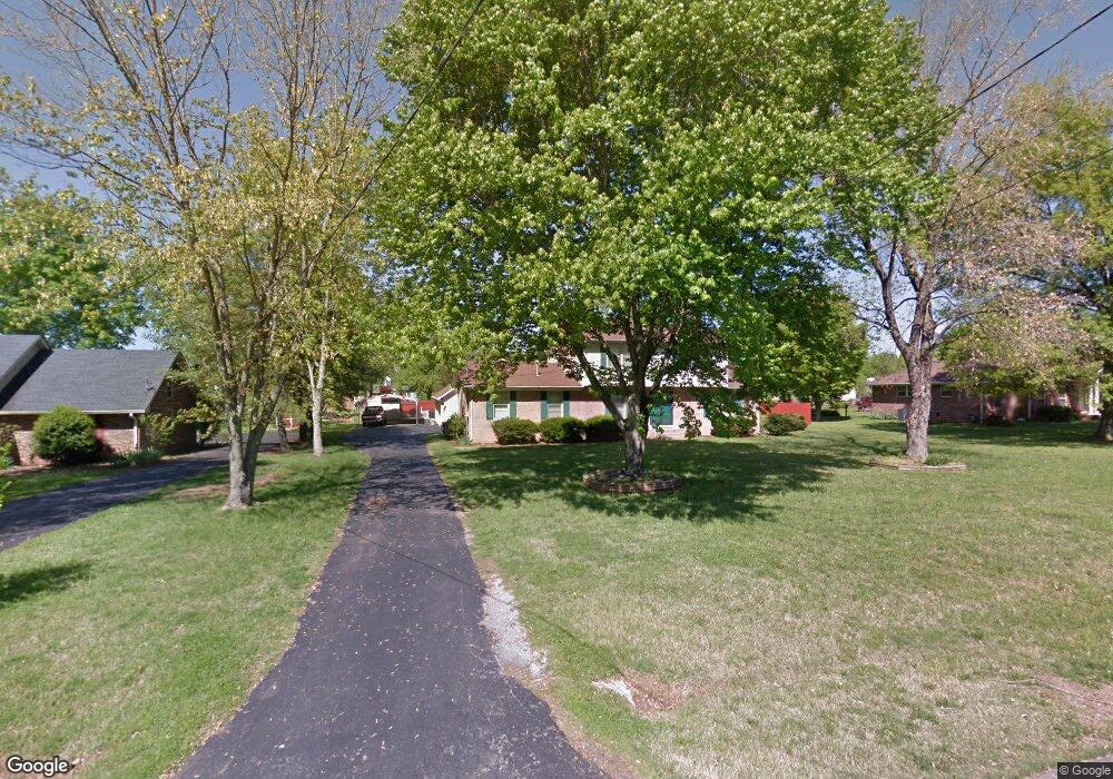
117 Tarrytown Dr Smyrna, TN 37167
Estimated Value: $395,000 - $483,000
Studio
3
Baths
2,499
Sq Ft
$176/Sq Ft
Est. Value
About This Home
This home is located at 117 Tarrytown Dr, Smyrna, TN 37167 and is currently estimated at $439,411, approximately $175 per square foot. 117 Tarrytown Dr is a home located in Rutherford County with nearby schools including Rocky Fork Elementary School, Rocky Fork Middle School, and Smyrna High School.
Ownership History
Date
Name
Owned For
Owner Type
Purchase Details
Closed on
Feb 6, 2013
Sold by
Lane Deborah R
Bought by
Lane James Rodney
Current Estimated Value
Purchase Details
Closed on
Jul 11, 2005
Sold by
Rodney Lane James
Bought by
Lane James R and Lane Deborah R
Home Financials for this Owner
Home Financials are based on the most recent Mortgage that was taken out on this home.
Original Mortgage
$185,250
Interest Rate
5.46%
Purchase Details
Closed on
Mar 4, 2004
Sold by
Henley and Jeannetta
Bought by
Rodney Lane James
Home Financials for this Owner
Home Financials are based on the most recent Mortgage that was taken out on this home.
Original Mortgage
$144,000
Interest Rate
5.68%
Mortgage Type
Purchase Money Mortgage
Create a Home Valuation Report for This Property
The Home Valuation Report is an in-depth analysis detailing your home's value as well as a comparison with similar homes in the area
Home Values in the Area
Average Home Value in this Area
Purchase History
| Date | Buyer | Sale Price | Title Company |
|---|---|---|---|
| Lane James Rodney | -- | -- | |
| Lane James R | -- | -- | |
| Rodney Lane James | $180,000 | -- |
Source: Public Records
Mortgage History
| Date | Status | Borrower | Loan Amount |
|---|---|---|---|
| Previous Owner | Rodney Lane James | $185,250 | |
| Previous Owner | Rodney Lane James | $144,000 | |
| Previous Owner | Rodney Lane James | $36,000 |
Source: Public Records
Tax History
| Year | Tax Paid | Tax Assessment Tax Assessment Total Assessment is a certain percentage of the fair market value that is determined by local assessors to be the total taxable value of land and additions on the property. | Land | Improvement |
|---|---|---|---|---|
| 2025 | $2,172 | $90,450 | $13,750 | $76,700 |
| 2024 | $2,172 | $90,450 | $13,750 | $76,700 |
| 2023 | $2,172 | $90,450 | $13,750 | $76,700 |
| 2022 | $1,947 | $90,875 | $13,750 | $77,125 |
| 2021 | $1,897 | $64,975 | $8,750 | $56,225 |
| 2020 | $1,897 | $64,975 | $8,750 | $56,225 |
| 2019 | $1,897 | $64,975 | $8,750 | $56,225 |
| 2018 | $1,819 | $64,975 | $0 | $0 |
| 2017 | $1,725 | $48,400 | $0 | $0 |
| 2016 | $1,725 | $48,400 | $0 | $0 |
| 2015 | $1,725 | $48,400 | $0 | $0 |
| 2014 | $1,204 | $48,400 | $0 | $0 |
| 2013 | -- | $38,700 | $0 | $0 |
Source: Public Records
Map
Nearby Homes
- 4039 Utica St
- 3015 Utah St
- 2044 Caladonia Way
- 2022 Alpental Rd
- 2036 Alpental Rd
- 4074 Utica St
- 2052 Caladonia Way
- 1017 Crested Run
- 2074 Caladonia Way
- 904 Harold Lee Dr
- 4019 Rhythm Dr
- 305 Wildwood Dr
- 517 Wildwood Dr
- 112 General Forrest Ct
- 633 Glenties Dr
- 0 Seven Oaks Blvd
- 1011 Sky Valley Trail
- 919 Seven Oaks Blvd
- 907 Seven Oaks Blvd
- 527 Hawk Cove
- 56 Tarrytown Dr
- 115 Tarrytown Dr
- 119 Tarrytown Dr
- 516 Summerfield Dr
- 514 Summerfield Dr
- 518 Summerfield Dr
- 116 Tarrytown Dr
- 114 Tarrytown Dr
- 113 Tarrytown Dr
- 118 Tarrytown Dr
- 512 Summerfield Dr
- 112 Tarrytown Dr
- 120 Tarrytown Dr
- 300 Eton Rd
- 510 Summerfield Dr
- 110 Tarrytown Dr
- 302 Eton Rd
- 525 Summerfield Dr
- 527 Summerfield Dr
- 122 Tarrytown Dr
Your Personal Tour Guide
Ask me questions while you tour the home.