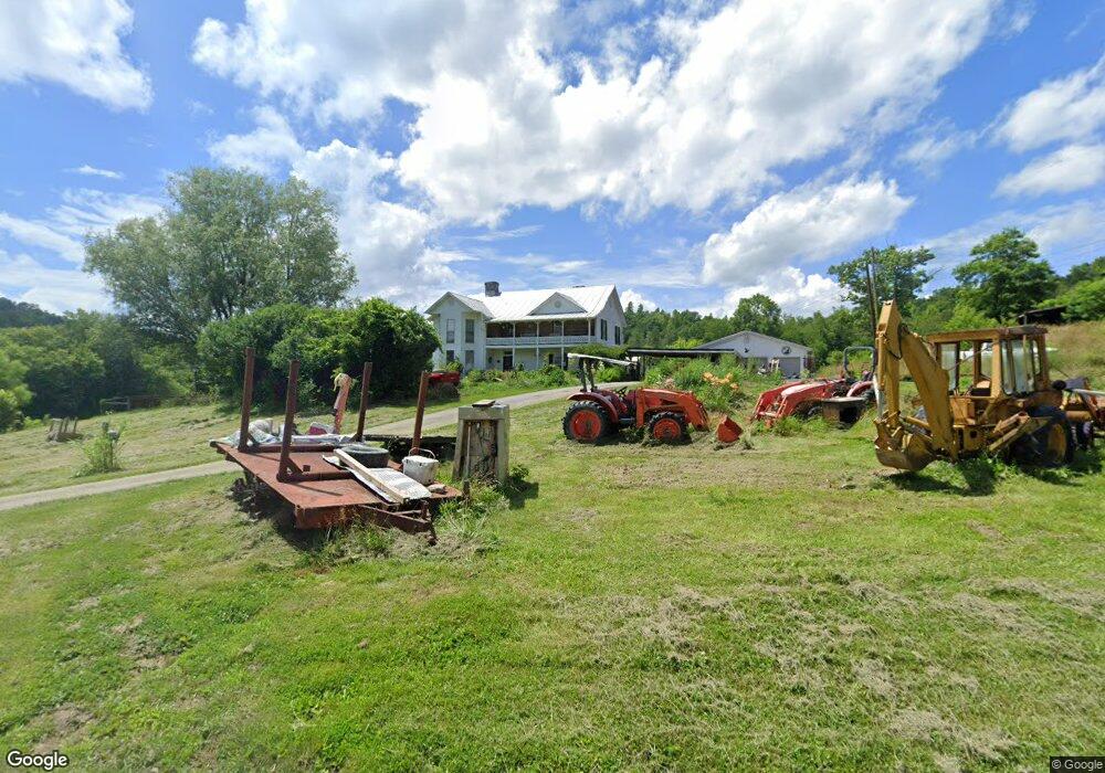
117 Thompson Ln Grayson, KY 41143
Estimated Value: $203,000 - $334,422
Studio
--
Bath
3,908
Sq Ft
$62/Sq Ft
Est. Value
About This Home
This home is located at 117 Thompson Ln, Grayson, KY 41143 and is currently estimated at $242,856, approximately $62 per square foot. 117 Thompson Ln is a home located in Carter County with nearby schools including Heritage Elementary School, East Carter Middle School, and East Carter County High School.
Ownership History
Date
Name
Owned For
Owner Type
Purchase Details
Closed on
Mar 28, 2016
Sold by
Mcdavid Philip Jay and Mcdavid Carol
Bought by
Dallaire Richard Allen and Dallaire Whittney
Current Estimated Value
Home Financials for this Owner
Home Financials are based on the most recent Mortgage that was taken out on this home.
Original Mortgage
$185,000
Outstanding Balance
$146,826
Interest Rate
3.65%
Mortgage Type
VA
Estimated Equity
$96,030
Create a Home Valuation Report for This Property
The Home Valuation Report is an in-depth analysis detailing your home's value as well as a comparison with similar homes in the area
Purchase History
| Date | Buyer | Sale Price | Title Company |
|---|---|---|---|
| Dallaire Richard Allen | $185,000 | None Available |
Source: Public Records
Mortgage History
| Date | Status | Borrower | Loan Amount |
|---|---|---|---|
| Open | Dallaire Richard Allen | $185,000 |
Source: Public Records
Tax History
| Year | Tax Paid | Tax Assessment Tax Assessment Total Assessment is a certain percentage of the fair market value that is determined by local assessors to be the total taxable value of land and additions on the property. | Land | Improvement |
|---|---|---|---|---|
| 2024 | $1,033 | $166,500 | $0 | $0 |
| 2023 | $1,037 | $166,500 | $0 | $0 |
| 2022 | $1,342 | $155,000 | $0 | $0 |
| 2021 | $1,369 | $155,000 | $0 | $0 |
| 2020 | $1,372 | $230,000 | $85,000 | $145,000 |
| 2019 | $1,369 | $155,000 | $10,000 | $145,000 |
| 2018 | $1,369 | $155,000 | $10,000 | $145,000 |
| 2017 | $1,306 | $155,000 | $10,000 | $145,000 |
| 2016 | $343 | $155,000 | $10,000 | $145,000 |
| 2015 | $335 | $40,600 | $5,000 | $35,600 |
| 2014 | $335 | $40,600 | $0 | $0 |
| 2011 | $329 | $40,600 | $0 | $0 |
Source: Public Records
Map
Nearby Homes
- 18A Hall Rd
- 0 Route 1
- 800 Huff Run Rd
- 16 Coal Camp Rd
- 700 Clay Camp Rd
- 5113 Kentucky 7
- 655 Fannin Hollow
- 1010 Canoe Run
- 31 Edsel Rd
- 218 Fox Run Rd
- 6 Damron St
- Lot #1
- Lot #9 Greenbrier Plantations Phase 1
- Lot #3 Greenbrier Plantations Phase 1
- Lot #5 Greenbrier Plantations Phase 1
- Lot #8 Greenbrier Plantations Phase 1
- Lot #12 Greenbrier Plantations Phase 1
- Lot #6R Greenbrier Plantations Phase 1
- 24516 Slick Rock Rd
- 0 Promise Land Dr
- 117 Thompson
- 190 Houck Ln
- 9069 S State Highway 1
- 9077 S State Highway 1
- 8680 S State Highway 1
- 9149 S State Highway 1
- 9155 S State Highway 1
- 17 Sergent Ln
- 98 Thompson Ln
- 9167 S State Highway 1
- 8795 S State Highway 1
- 9181 S State Highway 1
- 8811 S State Highway 1
- 8857 Kentucky 1
- 8857 S State Highway 1
- 207 Holbrook Ln
- 197 Holbrook Ln
- 9269 S State Highway 1
- 61 Holbrook Ln
- 8791 S State Highway 1
Your Personal Tour Guide
Ask me questions while you tour the home.