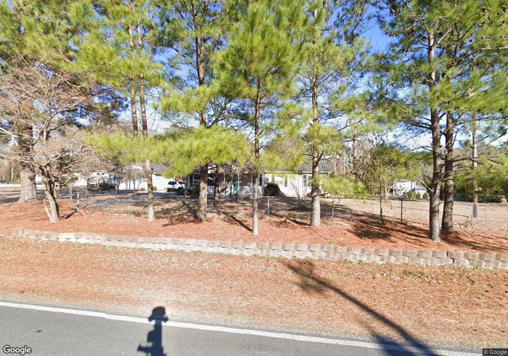
117 Turkey Point Rd Sneads Ferry, NC 28460
Estimated Value: $230,715 - $296,000
3
Beds
2
Baths
1,256
Sq Ft
$208/Sq Ft
Est. Value
About This Home
This home is located at 117 Turkey Point Rd, Sneads Ferry, NC 28460 and is currently estimated at $261,679, approximately $208 per square foot. 117 Turkey Point Rd is a home located in Onslow County with nearby schools including Coastal Elementary, Dixon Elementary School, and Dixon High School.
Ownership History
Date
Name
Owned For
Owner Type
Purchase Details
Closed on
Apr 17, 1997
Bought by
Rochelle Clifton R and Rochelle Connie L
Current Estimated Value
Create a Home Valuation Report for This Property
The Home Valuation Report is an in-depth analysis detailing your home's value as well as a comparison with similar homes in the area
Home Values in the Area
Average Home Value in this Area
Purchase History
| Date | Buyer | Sale Price | Title Company |
|---|---|---|---|
| Rochelle Clifton R | -- | -- |
Source: Public Records
Tax History Compared to Growth
Tax History
| Year | Tax Paid | Tax Assessment Tax Assessment Total Assessment is a certain percentage of the fair market value that is determined by local assessors to be the total taxable value of land and additions on the property. | Land | Improvement |
|---|---|---|---|---|
| 2025 | $789 | $120,456 | $33,750 | $86,706 |
| 2024 | $789 | $120,456 | $33,750 | $86,706 |
| 2023 | $789 | $120,456 | $33,750 | $86,706 |
| 2022 | $789 | $120,456 | $33,750 | $86,706 |
| 2021 | $622 | $88,190 | $30,000 | $58,190 |
| 2020 | $622 | $88,190 | $30,000 | $58,190 |
| 2019 | $622 | $88,190 | $30,000 | $58,190 |
| 2018 | $622 | $88,190 | $30,000 | $58,190 |
| 2017 | $660 | $97,800 | $28,880 | $68,920 |
| 2016 | $660 | $97,800 | $0 | $0 |
| 2015 | $660 | $97,800 | $0 | $0 |
| 2014 | $660 | $97,800 | $0 | $0 |
Source: Public Records
Map
Nearby Homes
- 314 Clearview Dr
- 312 Clearview Dr
- 316 Clearview Dr
- 323 Clearview Dr
- 310 Clearview
- 157 Bridgeport Dr
- 119 Mariners Cir
- 461 Old Folkstone Rd
- 205 Egret Point Dr
- 329 S Stingray Ln
- 502 Saltworks Ln
- 197 Tar Landing Rd
- 106 Blue Heron Cir
- 209 Creek View Cir
- 227 Tar Landing Rd
- 218 Alderman Landing Rd
- 0 Turkey Point Rd
- 322 Osprey Point Dr
- 607 Coral Reef Ct
- 155 Oyster Landing Dr
- 109 Turkey Point Rd
- 118 Turkey Point Rd
- 122 Turkey Point Rd
- 129 Turkey Point Rd
- 626 Old Folkstone Rd
- 652 Old Folkstone Rd
- 654 Old Folkstone Rd
- 614 Old Folkstone Rd
- 134 Turkey Point Rd
- 130 Mystic Ridge
- 134 Mystic Ridge
- 606 Old Folkstone Rd
- 106 Bolling Ln
- 608 Old Folkstone Rd
- 660 Old Folkstone Rd
- 104 Bolling Ln
- 118 Mystic Ridge
- 118 Mystic Ridge
- 118 Mystic Ridge
- 656 Old Folkstone Rd