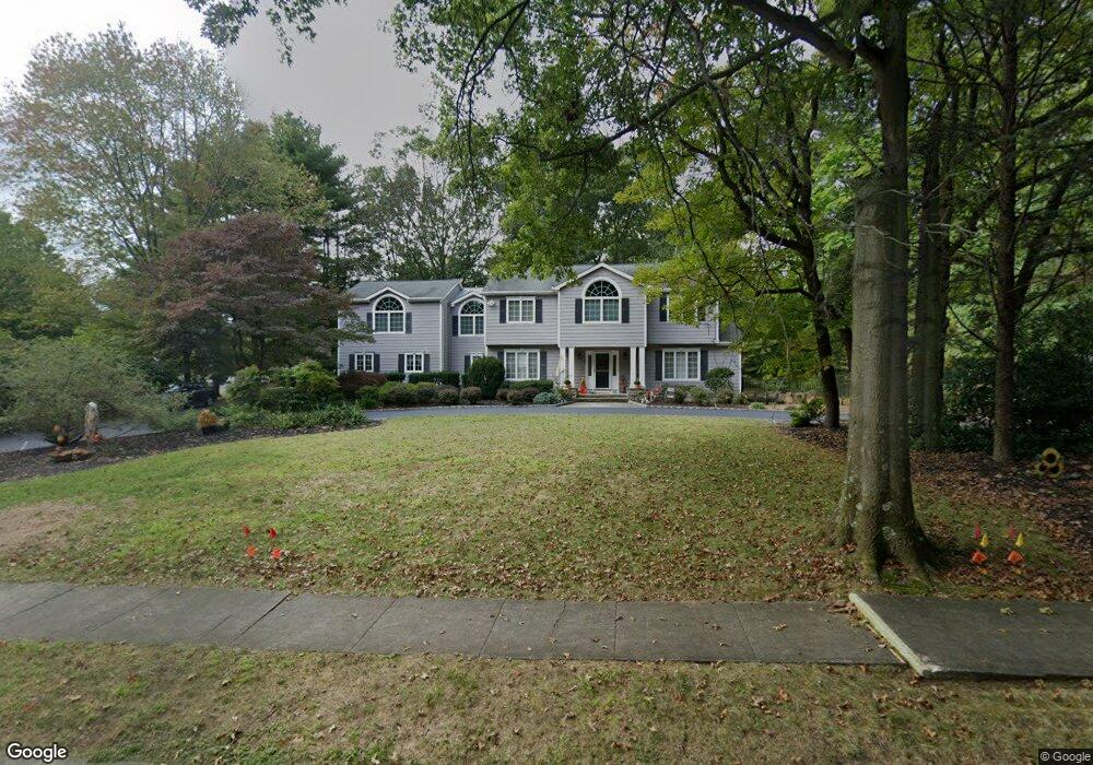
117 University Dr Lincroft, NJ 07738
Estimated Value: $1,322,000 - $1,760,000
4
Beds
3
Baths
4,276
Sq Ft
$341/Sq Ft
Est. Value
About This Home
This home is located at 117 University Dr, Lincroft, NJ 07738 and is currently estimated at $1,456,230, approximately $340 per square foot. 117 University Dr is a home located in Monmouth County with nearby schools including Lincroft Elementary School, Thompson Middle School, and Middletown - South High School.
Ownership History
Date
Name
Owned For
Owner Type
Purchase Details
Closed on
Feb 9, 2015
Sold by
Devine William J and Devine Kathleen A
Bought by
Devine Kathleen A
Current Estimated Value
Purchase Details
Closed on
Jan 10, 2000
Sold by
Moschella Joseph
Bought by
Devine William and Devine Kathleen
Home Financials for this Owner
Home Financials are based on the most recent Mortgage that was taken out on this home.
Original Mortgage
$225,000
Outstanding Balance
$71,435
Interest Rate
7.83%
Mortgage Type
Purchase Money Mortgage
Estimated Equity
$1,384,796
Create a Home Valuation Report for This Property
The Home Valuation Report is an in-depth analysis detailing your home's value as well as a comparison with similar homes in the area
Home Values in the Area
Average Home Value in this Area
Purchase History
| Date | Buyer | Sale Price | Title Company |
|---|---|---|---|
| Devine Kathleen A | -- | Attorney | |
| Devine William | $325,000 | -- |
Source: Public Records
Mortgage History
| Date | Status | Borrower | Loan Amount |
|---|---|---|---|
| Open | Devine William | $225,000 |
Source: Public Records
Tax History Compared to Growth
Tax History
| Year | Tax Paid | Tax Assessment Tax Assessment Total Assessment is a certain percentage of the fair market value that is determined by local assessors to be the total taxable value of land and additions on the property. | Land | Improvement |
|---|---|---|---|---|
| 2025 | $19,803 | $1,124,400 | $352,300 | $772,100 |
| 2024 | $17,140 | $1,203,800 | $436,100 | $767,700 |
| 2023 | $17,140 | $986,200 | $263,400 | $722,800 |
| 2022 | $18,009 | $944,900 | $220,600 | $724,300 |
| 2021 | $18,009 | $865,800 | $220,600 | $645,200 |
| 2020 | $18,374 | $859,400 | $220,600 | $638,800 |
| 2019 | $18,072 | $855,700 | $220,600 | $635,100 |
| 2018 | $18,543 | $855,700 | $230,100 | $625,600 |
| 2017 | $20,395 | $931,700 | $242,300 | $689,400 |
| 2016 | $18,482 | $867,300 | $242,300 | $625,000 |
| 2015 | $18,969 | $859,500 | $242,300 | $617,200 |
| 2014 | $18,247 | $806,300 | $242,300 | $564,000 |
Source: Public Records
Map
Nearby Homes
- 1497 W Front St
- 7 Mccampbell Rd
- 1476 W Front St
- 107 Lawley Dr
- 63 Eckert Dr
- 246 Sunnyside Rd
- 86 Stillwell Rd
- 7 Bordeaux Ln
- 660 County Route 520
- 45 Turnberry Dr
- 185 Ballantine Rd
- 72 Main St
- 6 Willow Rd
- 201 Dogwood Ln
- 110 Whispering Pines Dr
- 119 Lindy Ln
- 911 Middletown Lincroft Rd
- 17 Terry Ln
- 80 Boxwood Terrace
- 59 Boxwood Terrace
- 115 University Dr
- 119 University Dr
- 118 University Dr
- 116 University Dr
- 113 University Dr
- 120 University Dr
- 121 University Dr
- 114 University Dr
- 122 University Dr
- 124 University Dr
- 213 Yale Dr
- 6 Tuller Ct
- 211 Yale Dr
- 215 Yale Dr
- 111 University Dr
- 209 Yale Dr
- 123 University Dr
- 217 Yale Dr
- 223 Yale Dr
- 221 Yale Dr