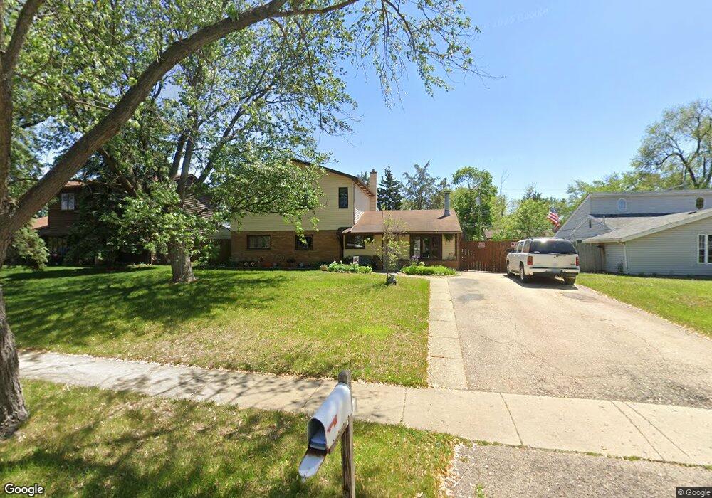
117 W Briarcliff Rd Bolingbrook, IL 60440
East Bolingbrook NeighborhoodEstimated Value: $276,130 - $354,000
--
Bed
1
Bath
1,857
Sq Ft
$169/Sq Ft
Est. Value
About This Home
This home is located at 117 W Briarcliff Rd, Bolingbrook, IL 60440 and is currently estimated at $314,283, approximately $169 per square foot. 117 W Briarcliff Rd is a home located in Will County with nearby schools including Bernard J Ward Elementary School, Brooks Middle School, and Hubert H Humphrey Middle School.
Ownership History
Date
Name
Owned For
Owner Type
Purchase Details
Closed on
May 2, 2018
Sold by
Lopatka Kenneth G
Bought by
Lopatka Kenneth G and Lopatka Donna Nitka
Current Estimated Value
Purchase Details
Closed on
Aug 25, 1995
Sold by
Lopatka Ken and Lopatka Kim K
Bought by
Lopatka Ken
Home Financials for this Owner
Home Financials are based on the most recent Mortgage that was taken out on this home.
Original Mortgage
$90,750
Interest Rate
7.76%
Create a Home Valuation Report for This Property
The Home Valuation Report is an in-depth analysis detailing your home's value as well as a comparison with similar homes in the area
Home Values in the Area
Average Home Value in this Area
Purchase History
| Date | Buyer | Sale Price | Title Company |
|---|---|---|---|
| Lopatka Kenneth G | -- | Attorney | |
| Lopatka Ken | -- | Greater Illinois Title Compa |
Source: Public Records
Mortgage History
| Date | Status | Borrower | Loan Amount |
|---|---|---|---|
| Closed | Lopatka Ken | $90,750 |
Source: Public Records
Tax History Compared to Growth
Tax History
| Year | Tax Paid | Tax Assessment Tax Assessment Total Assessment is a certain percentage of the fair market value that is determined by local assessors to be the total taxable value of land and additions on the property. | Land | Improvement |
|---|---|---|---|---|
| 2024 | $7,827 | $92,745 | $18,476 | $74,269 |
| 2023 | $7,827 | $83,449 | $16,624 | $66,825 |
| 2022 | $6,843 | $75,233 | $14,987 | $60,246 |
| 2021 | $6,478 | $70,344 | $14,013 | $56,331 |
| 2020 | $6,274 | $68,031 | $13,552 | $54,479 |
| 2019 | $5,935 | $63,522 | $12,654 | $50,868 |
| 2018 | $5,446 | $58,437 | $11,641 | $46,796 |
| 2017 | $5,177 | $55,390 | $11,034 | $44,356 |
| 2016 | $4,800 | $50,700 | $10,100 | $40,600 |
| 2015 | $5,051 | $48,600 | $9,700 | $38,900 |
| 2014 | $5,051 | $45,000 | $9,000 | $36,000 |
| 2013 | $5,051 | $52,900 | $10,600 | $42,300 |
Source: Public Records
Map
Nearby Homes
- 101 Enclave Cir Unit C
- 117 Enclave Cir Unit A
- 412 Greentree Ln Unit 6
- 222 Aspen Ct
- 184 Fairwood Dr
- 43 Fernwood Dr Unit D
- 414 Salem Square Unit 4
- 220 Braemar Glen
- 112 Brook Ct
- 443 Mallview Ln Unit 6
- 2 Ava Ct
- 227 Lexington Dr
- 255 Braemar Glen
- 14 Fernwood Dr Unit B
- 10 Fernwood Dr Unit L
- 6 Fernwood Dr Unit 6
- 5 Fernwood Dr
- 124 Somerset Ln Unit 7
- 2V Fernwood Dr
- 210 Monterey Dr
- 113 W Briarcliff Rd
- 121 W Briarcliff Rd
- 116 Cypress Dr
- 112 Cypress Dr
- 120 Cypress Dr
- 109 W Briarcliff Rd
- 125 W Briarcliff Rd
- 108 Cypress Dr
- 124 Cypress Dr
- 112 W Briarcliff Rd
- 129 W Briarcliff Rd
- 116 W Briarcliff Rd
- 108 W Briarcliff Rd
- 128 Cypress Dr Unit 2
- 120 W Briarcliff Rd
- 133 W Briarcliff Rd
- 104 W Briarcliff Rd
- 117 Cypress Dr
- 113 Cypress Dr
- 132 Cypress Dr