117 W Turner St Unit Bldg-Unit Mayville, MI 48744
Estimated Value: $120,420 - $163,000
--
Bed
2
Baths
--
Sq Ft
0.25
Acres
About This Home
This home is located at 117 W Turner St Unit Bldg-Unit, Mayville, MI 48744 and is currently estimated at $141,855. 117 W Turner St Unit Bldg-Unit is a home located in Tuscola County with nearby schools including Mayville Elementary School, Mayville Middle School, and Mayville Middle & High School.
Ownership History
Date
Name
Owned For
Owner Type
Purchase Details
Closed on
Jul 20, 2018
Sold by
Wilkinson Donald H and Wilkinson Irene W
Bought by
Ricks Shawn
Current Estimated Value
Home Financials for this Owner
Home Financials are based on the most recent Mortgage that was taken out on this home.
Original Mortgage
$86,406
Outstanding Balance
$75,472
Interest Rate
4.86%
Mortgage Type
FHA
Estimated Equity
$66,383
Purchase Details
Closed on
Jan 25, 2006
Sold by
Wilkinson Corp
Bought by
Wilkinson Donald H and Wilkinson Irene Walker
Purchase Details
Closed on
Feb 7, 2005
Sold by
Snyder Patricia E
Bought by
Wilkinson Corp
Create a Home Valuation Report for This Property
The Home Valuation Report is an in-depth analysis detailing your home's value as well as a comparison with similar homes in the area
Home Values in the Area
Average Home Value in this Area
Purchase History
| Date | Buyer | Sale Price | Title Company |
|---|---|---|---|
| Ricks Shawn | $88,000 | -- | |
| Wilkinson Donald H | -- | None Available | |
| Wilkinson Corp | $40,000 | First American Title Insuran |
Source: Public Records
Mortgage History
| Date | Status | Borrower | Loan Amount |
|---|---|---|---|
| Open | Ricks Shawn | $86,406 |
Source: Public Records
Tax History Compared to Growth
Tax History
| Year | Tax Paid | Tax Assessment Tax Assessment Total Assessment is a certain percentage of the fair market value that is determined by local assessors to be the total taxable value of land and additions on the property. | Land | Improvement |
|---|---|---|---|---|
| 2025 | $755 | $43,700 | $0 | $0 |
| 2024 | $755 | $49,100 | $0 | $0 |
| 2023 | $738 | $37,100 | $0 | $0 |
| 2022 | $1,113 | $33,800 | $0 | $0 |
| 2021 | $395 | $30,700 | $0 | $0 |
| 2020 | $395 | $27,100 | $0 | $0 |
| 2019 | $782 | $29,700 | $0 | $0 |
| 2018 | $839 | $25,800 | $0 | $0 |
| 2017 | $462 | $26,000 | $0 | $0 |
| 2016 | $567 | $18,500 | $0 | $0 |
| 2015 | $8 | $23,100 | $0 | $0 |
| 2014 | $8 | $23,600 | $0 | $0 |
| 2013 | -- | $23,800 | $0 | $0 |
Source: Public Records
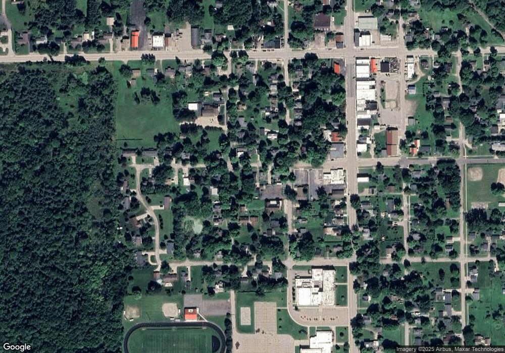
Map
Nearby Homes
- 6170 Fulton St
- 6010 Fox St
- 6130 2nd St
- 6306 1st St
- 6317 2nd St
- 516 E Main St
- 699 E Turner St
- 2152 E Ohmer Rd
- 1994 E Snover Rd
- 0 Mertz Rd Unit 20251026759
- 5200 Schott Rd
- 5375 Treasurer Rd
- 7570 Fostoria Rd
- 2753 E Snover Rd
- 6957 Conrad Rd
- 9460 Lapeer Rd
- 3123 Phelps Lake Rd
- 4154 Lakeview Dr
- 3751 Clifford Rd
- 0 S Washburn Rd Unit 50094706