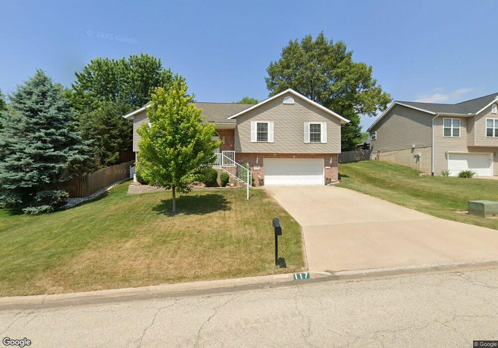
117 Walnut Dr East Peoria, IL 61611
Estimated Value: $260,000 - $292,000
3
Beds
3
Baths
2,200
Sq Ft
$126/Sq Ft
Est. Value
About This Home
This home is located at 117 Walnut Dr, East Peoria, IL 61611 and is currently estimated at $277,074, approximately $125 per square foot. 117 Walnut Dr is a home located in Tazewell County with nearby schools including Woodrow Wilson Elementary School, Glendale Elementary School, and Central Junior High School.
Ownership History
Date
Name
Owned For
Owner Type
Purchase Details
Closed on
Aug 30, 2006
Sold by
Bitterroot Construction Inc
Bought by
Vandyke Eric and Van Dyke Sarah
Current Estimated Value
Home Financials for this Owner
Home Financials are based on the most recent Mortgage that was taken out on this home.
Original Mortgage
$180,405
Outstanding Balance
$109,574
Interest Rate
6.88%
Mortgage Type
Unknown
Estimated Equity
$167,500
Purchase Details
Closed on
Jul 8, 2005
Sold by
Rigelwood Albert R
Bought by
Bitterroot Construction Inc
Home Financials for this Owner
Home Financials are based on the most recent Mortgage that was taken out on this home.
Original Mortgage
$12,574
Interest Rate
5.75%
Mortgage Type
New Conventional
Create a Home Valuation Report for This Property
The Home Valuation Report is an in-depth analysis detailing your home's value as well as a comparison with similar homes in the area
Home Values in the Area
Average Home Value in this Area
Purchase History
| Date | Buyer | Sale Price | Title Company |
|---|---|---|---|
| Vandyke Eric | $190,000 | None Available | |
| Bitterroot Construction Inc | $15,000 | -- |
Source: Public Records
Mortgage History
| Date | Status | Borrower | Loan Amount |
|---|---|---|---|
| Open | Vandyke Eric | $180,405 | |
| Previous Owner | Bitterroot Construction Inc | $12,574 |
Source: Public Records
Tax History Compared to Growth
Tax History
| Year | Tax Paid | Tax Assessment Tax Assessment Total Assessment is a certain percentage of the fair market value that is determined by local assessors to be the total taxable value of land and additions on the property. | Land | Improvement |
|---|---|---|---|---|
| 2024 | $6,360 | $78,250 | $7,100 | $71,150 |
| 2023 | $6,360 | $71,840 | $6,520 | $65,320 |
| 2022 | $5,807 | $66,450 | $6,030 | $60,420 |
| 2021 | $5,439 | $63,900 | $5,800 | $58,100 |
| 2020 | $5,317 | $63,900 | $5,800 | $58,100 |
| 2019 | $5,148 | $64,810 | $8,620 | $56,190 |
| 2018 | $5,004 | $64,810 | $8,620 | $56,190 |
| 2017 | $5,794 | $73,780 | $8,620 | $65,160 |
| 2016 | $5,714 | $73,780 | $8,620 | $65,160 |
| 2015 | $5,426 | $0 | $0 | $0 |
| 2013 | $5,455 | $71,470 | $8,350 | $63,120 |
Source: Public Records
Map
Nearby Homes
- 101 Patricia Ave
- 303 Turtle Creek Trail
- 23907 Veterans Rd
- 3708 Bloomington Rd
- 204 Helene Ct
- 202 Helene Ct
- 205 Helene Ct
- 209 Helene Ct
- 406 Shady Knolls Dr
- 104 Ursula Ct
- 200 Amelia Dr
- 102 Ursula Ct
- 108 Amelia Dr
- 204 Amelia Dr
- 104 Amelia Dr
- 108 Ursula Ct
- 206 Amelia Dr
- 300 Amelia Dr
- 205 Amelia Dr
- Lot 9 Abigail Dr