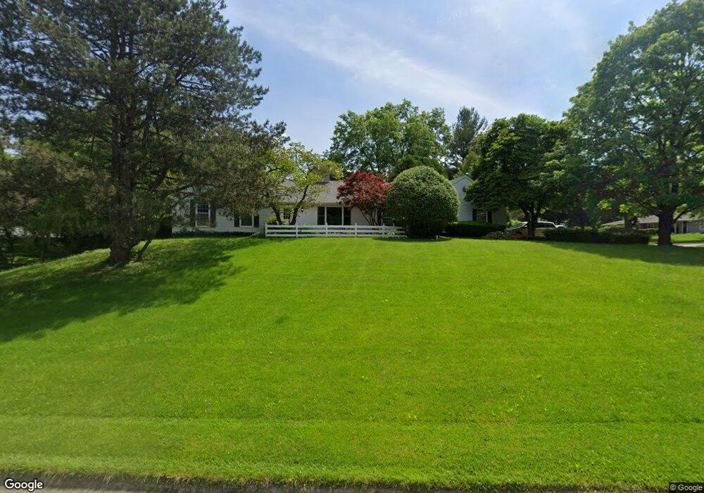
117 Wheatridge Rd Valparaiso, IN 46385
Estimated Value: $396,000 - $496,000
4
Beds
3
Baths
2,000
Sq Ft
$220/Sq Ft
Est. Value
About This Home
This home is located at 117 Wheatridge Rd, Valparaiso, IN 46385 and is currently estimated at $439,184, approximately $219 per square foot. 117 Wheatridge Rd is a home located in Porter County with nearby schools including Ben Franklin Middle School and Valparaiso High School.
Ownership History
Date
Name
Owned For
Owner Type
Purchase Details
Closed on
May 14, 2013
Sold by
Pozzo William A and Pozzo William A
Bought by
Pozzo William A and Pozzo Living Trust
Current Estimated Value
Purchase Details
Closed on
May 18, 2007
Sold by
Puglisi Paul Edward and Paul Edward Puglisi Living Tru
Bought by
Pozzo William A and Hatala Bridget A
Home Financials for this Owner
Home Financials are based on the most recent Mortgage that was taken out on this home.
Original Mortgage
$168,000
Outstanding Balance
$101,910
Interest Rate
6.12%
Mortgage Type
Purchase Money Mortgage
Estimated Equity
$337,274
Create a Home Valuation Report for This Property
The Home Valuation Report is an in-depth analysis detailing your home's value as well as a comparison with similar homes in the area
Home Values in the Area
Average Home Value in this Area
Purchase History
| Date | Buyer | Sale Price | Title Company |
|---|---|---|---|
| Pozzo William A | -- | None Available | |
| Pozzo William A | -- | Community Title Company |
Source: Public Records
Mortgage History
| Date | Status | Borrower | Loan Amount |
|---|---|---|---|
| Open | Pozzo William A | $168,000 |
Source: Public Records
Tax History Compared to Growth
Tax History
| Year | Tax Paid | Tax Assessment Tax Assessment Total Assessment is a certain percentage of the fair market value that is determined by local assessors to be the total taxable value of land and additions on the property. | Land | Improvement |
|---|---|---|---|---|
| 2024 | $2,890 | $399,900 | $49,300 | $350,600 |
| 2023 | $2,750 | $381,100 | $46,100 | $335,000 |
| 2022 | $2,685 | $341,600 | $46,100 | $295,500 |
| 2021 | $2,679 | $303,400 | $46,100 | $257,300 |
| 2020 | $2,565 | $287,100 | $40,100 | $247,000 |
| 2019 | $2,284 | $258,000 | $40,100 | $217,900 |
| 2018 | $2,181 | $248,700 | $40,100 | $208,600 |
| 2017 | $2,150 | $243,900 | $40,100 | $203,800 |
| 2016 | $1,843 | $234,100 | $37,000 | $197,100 |
| 2014 | $1,325 | $216,300 | $35,100 | $181,200 |
| 2013 | -- | $201,800 | $35,100 | $166,700 |
Source: Public Records
Map
Nearby Homes
- 110 Wheatridge Rd
- 221 W 150 N
- 77 Sanctuary Dr
- 65 Sanctuary Dr
- 63 Sanctuary Dr
- 61 Sanctuary Dr
- 59 Sanctuary Dr
- 265 Westport Rd
- 68 Braemar Dr
- 66 Braemar Dr
- 274 Westport Rd
- 97 Scotscraig Dr
- 54 Braemar Dr
- 83 Scotscraig Dr
- 201 W US Highway 30
- 37 Tayside St
- 55 Tayside St
- 2551 Saint Road 2
- 161 N Winterberry Dr
- 700 W Us Highway 30
- 213 Wheatridge Ct
- 119 Wheatridge Rd
- 116 Wheatridge Rd
- 118 Wheatridge Rd
- 216 Wheatridge Ct
- 114 Wheatridge Rd
- 214 Wheatridge Ct
- 123 Wheatridge Rd
- 122 Wheatridge Rd
- 116 Sylvan Dr
- 120 Sylvan Dr
- 112 Sylvan Dr
- 124 Sylvan Dr
- 126 Wheatridge Rd
- 107 Wheatridge Rd
- 215 Shortridge Rd
- 110 Sylvan Dr
- 106 Wheatridge Rd
- 128 Sylvan Dr
- 211 Shortridge Rd