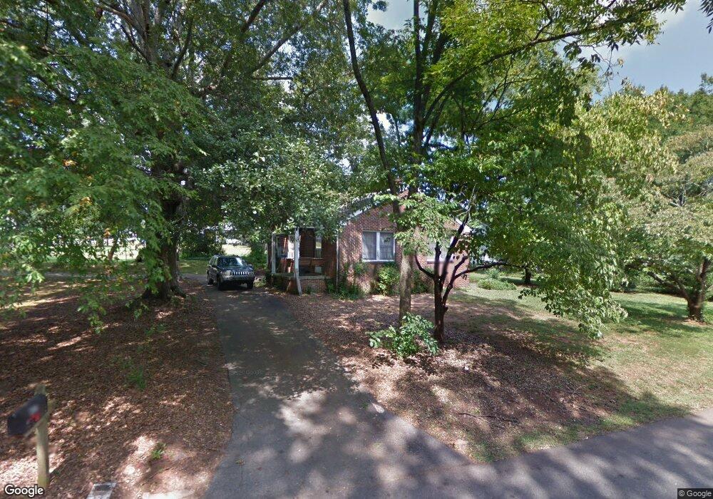
117 Williford St Commerce, GA 30529
Commerce Township Downtown NeighborhoodEstimated Value: $203,000 - $226,000
2
Beds
1
Bath
1,026
Sq Ft
$206/Sq Ft
Est. Value
About This Home
This home is located at 117 Williford St, Commerce, GA 30529 and is currently estimated at $211,152, approximately $205 per square foot. 117 Williford St is a home located in Jackson County with nearby schools including Commerce Primary School, Commerce Elementary School, and Commerce Middle School.
Ownership History
Date
Name
Owned For
Owner Type
Purchase Details
Closed on
Aug 24, 2010
Sold by
Crumley Ruby Thelma
Bought by
Gary Michael P
Current Estimated Value
Home Financials for this Owner
Home Financials are based on the most recent Mortgage that was taken out on this home.
Original Mortgage
$45,388
Outstanding Balance
$30,323
Interest Rate
4.75%
Mortgage Type
FHA
Estimated Equity
$180,829
Create a Home Valuation Report for This Property
The Home Valuation Report is an in-depth analysis detailing your home's value as well as a comparison with similar homes in the area
Home Values in the Area
Average Home Value in this Area
Purchase History
| Date | Buyer | Sale Price | Title Company |
|---|---|---|---|
| Gary Michael P | $46,000 | -- | |
| Gary Michael P | -- | -- |
Source: Public Records
Mortgage History
| Date | Status | Borrower | Loan Amount |
|---|---|---|---|
| Open | Gary Michael P | $45,388 | |
| Closed | Gary Michael P | $45,388 |
Source: Public Records
Tax History Compared to Growth
Tax History
| Year | Tax Paid | Tax Assessment Tax Assessment Total Assessment is a certain percentage of the fair market value that is determined by local assessors to be the total taxable value of land and additions on the property. | Land | Improvement |
|---|---|---|---|---|
| 2024 | $1,527 | $46,320 | $10,840 | $35,480 |
| 2023 | $1,279 | $41,880 | $10,840 | $31,040 |
| 2022 | $1,064 | $32,800 | $8,120 | $24,680 |
| 2021 | $1,062 | $32,800 | $8,120 | $24,680 |
| 2020 | $996 | $27,480 | $8,120 | $19,360 |
| 2019 | $1,010 | $27,480 | $8,120 | $19,360 |
| 2018 | $968 | $26,560 | $8,120 | $18,440 |
| 2017 | $912 | $24,576 | $8,130 | $16,446 |
| 2016 | $864 | $23,171 | $6,725 | $16,446 |
| 2015 | $883 | $23,171 | $6,725 | $16,446 |
| 2014 | $773 | $20,116 | $6,725 | $13,391 |
| 2013 | -- | $23,463 | $6,725 | $16,738 |
Source: Public Records
Map
Nearby Homes
- 270 Victoria St
- 45 Williford St
- 91 Neal St
- 184 Ashford Ln
- 1269 S Elm St
- 495 Shankle Heights
- 361 Elizabeth St
- 92 Belmont Park Dr
- 1029 S Elm St
- 244 State St
- 174 Cherry St
- 172 Scott St
- 102 Barber St
- 0 Scott St Unit 10629815
- 268 Barber St
- 307 Scott St
- 0 Harmony Gates Dr Unit Tract 24 CM1025291
- 0 Harmony Gates Dr Unit 7506513
- 0 Harmony Gates Dr Unit TRACT 24 10193711
- 119 Beth Ann Ln
- 0 Williford 8 St
- 141 Williford 8 St
- 141 Williford St
- 85 Williford St
- 181 S Victoria St
- 124 Williford St
- 94 Williford St
- 173 Williford St
- 202 S Victoria St
- 12 Mcarthur St
- 65 Williford St
- 178 S Victoria St
- 11 Mcarthur St
- 165 S Victoria St
- 59 Ashford Ln
- 59 Ashford Ln Unit 2
- 185 Williford St
- 27 Mcarthur St
- 178 Williford St
- 91 Ashford Ln Unit 3