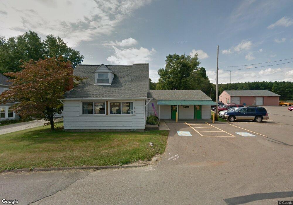
117 Wilson Ave Butler, OH 44822
Estimated Value: $117,581 - $160,000
3
Beds
1
Bath
860
Sq Ft
$168/Sq Ft
Est. Value
About This Home
This home is located at 117 Wilson Ave, Butler, OH 44822 and is currently estimated at $144,395, approximately $167 per square foot. 117 Wilson Ave is a home with nearby schools including Clear Fork High School.
Ownership History
Date
Name
Owned For
Owner Type
Purchase Details
Closed on
Dec 3, 1997
Sold by
Bowman Cheryl A
Bought by
Clear Fork Local Board Of Education
Current Estimated Value
Purchase Details
Closed on
Sep 6, 1996
Sold by
Yarger William R
Bought by
Mayton Cheryl A
Home Financials for this Owner
Home Financials are based on the most recent Mortgage that was taken out on this home.
Original Mortgage
$57,950
Interest Rate
8.27%
Mortgage Type
New Conventional
Create a Home Valuation Report for This Property
The Home Valuation Report is an in-depth analysis detailing your home's value as well as a comparison with similar homes in the area
Home Values in the Area
Average Home Value in this Area
Purchase History
| Date | Buyer | Sale Price | Title Company |
|---|---|---|---|
| Clear Fork Local Board Of Education | $65,000 | -- | |
| Mayton Cheryl A | $61,000 | -- |
Source: Public Records
Mortgage History
| Date | Status | Borrower | Loan Amount |
|---|---|---|---|
| Previous Owner | Mayton Cheryl A | $57,950 |
Source: Public Records
Tax History Compared to Growth
Tax History
| Year | Tax Paid | Tax Assessment Tax Assessment Total Assessment is a certain percentage of the fair market value that is determined by local assessors to be the total taxable value of land and additions on the property. | Land | Improvement |
|---|---|---|---|---|
| 2024 | -- | $24,310 | $3,840 | $20,470 |
| 2023 | $0 | $24,310 | $3,840 | $20,470 |
| 2022 | $0 | $18,750 | $3,490 | $15,260 |
| 2021 | $0 | $18,750 | $3,490 | $15,260 |
| 2020 | $0 | $18,750 | $3,490 | $15,260 |
| 2019 | $0 | $18,750 | $3,490 | $15,260 |
| 2018 | $0 | $18,750 | $3,490 | $15,260 |
| 2017 | $0 | $18,750 | $3,490 | $15,260 |
| 2016 | -- | $20,210 | $3,490 | $16,720 |
| 2015 | -- | $20,210 | $3,490 | $16,720 |
| 2014 | -- | $20,210 | $3,490 | $16,720 |
| 2012 | -- | $20,210 | $3,490 | $16,720 |
Source: Public Records
Map
Nearby Homes
- 128 College St
- 3898 Ohio 97
- 224 Blue Bird Dr
- 5449 Hagerman Rd
- 1259 State Route 97 E
- 1260 Ohio 97 Unit 115
- 2070 Riggle Rd
- 1169 State Route 97 E
- 4978 Bott Rd
- 5042 Possum Run Rd
- 21625 N Liberty Rd
- 4234 Swigart Rd
- 0 Mishey Rd
- 361 Honey Creek Rd E
- 4169 State Route 97
- 6533 Durbin Rd
- 0 Kenton Rd
- 6509 Ankneytown Rd
- 70 Betty Dr
- 0 Mill Rd
- 111 Wilson Ave
- 105 Wilson Ave
- 128 W Morgan St
- 97 Wilson Ave
- 138 W Morgan St
- 102 Wilson Ave
- 179 Stewart Ave
- 87 Wilson Ave
- 90 Stewart Ave
- 96 Wilson Ave
- 87 N Wilson Ave
- 109 College St
- 111 Stewart Ave
- 78 Stewart Ave
- 103 College St
- 155 College St
- 99 College St
- 132 College St Unit 134
- 140 College St
- 77 Wilson Ave