117 Windswept Ln Robertsville, MO 63072
Estimated Value: $500,000
5
Beds
4
Baths
2,800
Sq Ft
$179/Sq Ft
Est. Value
About This Home
This home is located at 117 Windswept Ln, Robertsville, MO 63072 and is currently estimated at $500,000, approximately $178 per square foot. 117 Windswept Ln is a home located in Franklin County with nearby schools including Pacific High School.
Ownership History
Date
Name
Owned For
Owner Type
Purchase Details
Closed on
Feb 5, 2009
Sold by
Deutsche Bank National Trust Co
Bought by
Prichard Michael and Prichard Andrea
Current Estimated Value
Home Financials for this Owner
Home Financials are based on the most recent Mortgage that was taken out on this home.
Original Mortgage
$143,920
Outstanding Balance
$89,301
Interest Rate
4.92%
Mortgage Type
New Conventional
Estimated Equity
$410,699
Purchase Details
Closed on
Jan 9, 2009
Sold by
S & W Foreclosure Corp
Bought by
Deutsche Bank National Trust Co and Soundview Home Loan Trust 2006 Eq2
Home Financials for this Owner
Home Financials are based on the most recent Mortgage that was taken out on this home.
Original Mortgage
$143,920
Outstanding Balance
$89,301
Interest Rate
4.92%
Mortgage Type
New Conventional
Estimated Equity
$410,699
Purchase Details
Closed on
Jul 27, 2006
Sold by
Branson Donna E
Bought by
Branson Ricky D
Create a Home Valuation Report for This Property
The Home Valuation Report is an in-depth analysis detailing your home's value as well as a comparison with similar homes in the area
Home Values in the Area
Average Home Value in this Area
Purchase History
| Date | Buyer | Sale Price | Title Company |
|---|---|---|---|
| Prichard Michael | -- | Mokan Title Services Llc | |
| Deutsche Bank National Trust Co | $173,910 | None Available | |
| Branson Ricky D | -- | None Available |
Source: Public Records
Mortgage History
| Date | Status | Borrower | Loan Amount |
|---|---|---|---|
| Open | Prichard Michael | $143,920 |
Source: Public Records
Tax History Compared to Growth
Tax History
| Year | Tax Paid | Tax Assessment Tax Assessment Total Assessment is a certain percentage of the fair market value that is determined by local assessors to be the total taxable value of land and additions on the property. | Land | Improvement |
|---|---|---|---|---|
| 2025 | $4,088 | $57,199 | $0 | $0 |
| 2024 | $4,088 | $49,231 | $0 | $0 |
| 2023 | $3,519 | $49,231 | $0 | $0 |
| 2022 | $3,290 | $50,369 | $0 | $0 |
| 2021 | $3,274 | $50,369 | $0 | $0 |
| 2020 | $2,965 | $45,723 | $0 | $0 |
| 2019 | $2,960 | $45,723 | $0 | $0 |
| 2018 | $2,791 | $42,265 | $0 | $0 |
| 2017 | $2,772 | $42,265 | $0 | $0 |
| 2016 | $2,574 | $38,843 | $0 | $0 |
| 2015 | $2,244 | $34,870 | $0 | $0 |
| 2014 | $2,265 | $35,784 | $0 | $0 |
Source: Public Records
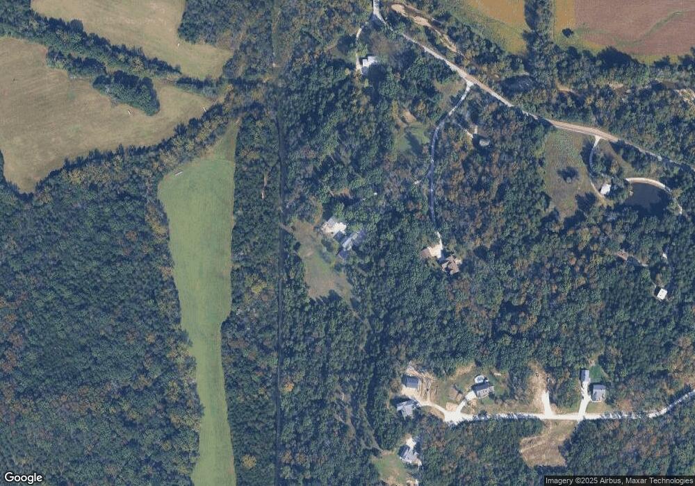
Map
Nearby Homes
- 0 Stone Ridge Rd Unit MAR25025168
- 0 Watts Ridge Dr
- 0 Woodland Valley Dr Unit MAR25002747
- 4114 Evergreen St
- 4123 Evergreen St
- 4134 Evergreen St
- Lots 14&15 Evergreen St
- 1320 & 1330 Lake Shore Dr
- 4420 & 4424 S Shore Dr
- 4412 & 4416 S Shore Dr
- 4268 & 4272 S Shore Dr
- 4284 & 4288 S Shore Dr
- 4276 & 4280 S Shore Dr
- 4150 S Shore Dr
- 4186 S Shore Dr
- 5563 E Anding Dr
- 563 Calvey Heights Ct
- 1157 N Shore Dr
- 40+ Lots N Shore Dr
- Lot 27 N Shore Dr
- 0 Windswept Ln Unit 10043515
- 136 Windswept Ln
- 217 Cedar Mountain Dr
- 5343 Calvey Creek Rd
- 5321 Calvey Creek Rd
- 215 Cedar Mountain Dr
- 218 Cedar Mountain Dr
- 5361 Calvey Creek Rd
- 159 Cedar Mountain Dr
- 235 El Dorado Dr
- 207 El Dorado Dr
- 539 Skyy Ln
- 236 Chisum Dr
- 333 Chisum Dr
- 5511 Calvey Creek Rd
- 5478 Calvey Creek Rd
- 430 Calvey Crossing Ln
- 4682 Bergman Rd
- 1152 Oak Ridge Rd
- 0 Lot 6 Bergman Unit 18020312