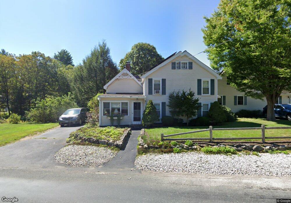
117 Winter St Unit 119 Wrentham, MA 02093
Estimated Value: $838,000 - $1,268,000
5
Beds
4
Baths
3,557
Sq Ft
$292/Sq Ft
Est. Value
About This Home
This home is located at 117 Winter St Unit 119, Wrentham, MA 02093 and is currently estimated at $1,039,251, approximately $292 per square foot. 117 Winter St Unit 119 is a home located in Norfolk County with nearby schools including Delaney Elementary School, Charles E Roderick, and The Sage School.
Ownership History
Date
Name
Owned For
Owner Type
Purchase Details
Closed on
Dec 11, 2019
Sold by
Hosmer James F and Hosmer Carol B
Bought by
James F Hosmer Ret
Current Estimated Value
Purchase Details
Closed on
Feb 12, 2014
Sold by
Hosmer James F and Hosmer Carol B
Bought by
Hosmer James F and Hosmer Carol B
Create a Home Valuation Report for This Property
The Home Valuation Report is an in-depth analysis detailing your home's value as well as a comparison with similar homes in the area
Home Values in the Area
Average Home Value in this Area
Purchase History
| Date | Buyer | Sale Price | Title Company |
|---|---|---|---|
| James F Hosmer Ret | -- | None Available | |
| James F Hosmer Ret | -- | None Available | |
| Hosmer James F | -- | -- | |
| Hosmer James F | -- | -- |
Source: Public Records
Mortgage History
| Date | Status | Borrower | Loan Amount |
|---|---|---|---|
| Previous Owner | Hosmer James F | $30,000 | |
| Previous Owner | Hosmer James F | $20,000 |
Source: Public Records
Tax History Compared to Growth
Tax History
| Year | Tax Paid | Tax Assessment Tax Assessment Total Assessment is a certain percentage of the fair market value that is determined by local assessors to be the total taxable value of land and additions on the property. | Land | Improvement |
|---|---|---|---|---|
| 2025 | $8,286 | $714,900 | $279,500 | $435,400 |
| 2024 | $8,099 | $674,900 | $279,500 | $395,400 |
| 2023 | $8,444 | $669,100 | $255,500 | $413,600 |
| 2022 | $8,084 | $591,400 | $248,900 | $342,500 |
| 2021 | $8,038 | $571,300 | $233,700 | $337,600 |
| 2020 | $7,534 | $528,700 | $182,300 | $346,400 |
| 2019 | $7,318 | $518,300 | $182,300 | $336,000 |
| 2018 | $6,922 | $486,100 | $181,500 | $304,600 |
| 2017 | $6,424 | $450,800 | $178,000 | $272,800 |
| 2016 | $6,128 | $429,100 | $172,800 | $256,300 |
| 2015 | $5,865 | $391,500 | $166,200 | $225,300 |
| 2014 | $5,400 | $352,700 | $159,900 | $192,800 |
Source: Public Records
Map
Nearby Homes
- 73 Winter St Unit 73
- 270 Dedham St
- 7 Weber Farm Rd Unit 7
- 4 Weber Farm Rd Unit 4
- 46 Weber Farm Rd Unit 46
- 6 Weber Farm Rd Unit 6
- 11 Weber Farm Rd Unit 11
- 8 Weber Farm Rd Unit 8
- 13 Weber Farm Rd Unit 13
- 45 Weber Farm Rd Unit 45
- 30 Weber Farm Rd Unit 30
- 28 Weber Farm Rd Unit 28
- 23 Weber Farm Rd Unit 23
- 25 Weber Farm Rd Unit 25
- 48 Shears St
- 109 Circle Dr
- 25 Foxboro Rd
- 977 East St
- 163 Walnut Rd
- 17 Ash Rd
- 113 Winter St
- 113 Winter St Unit 113
- 113 Winter St Unit 115
- 143 Winter St
- 147 Winter St
- 101 Winter St
- 2 Lyndon Rd
- 13 Cee Jay Terrace
- 144 Winter St
- 9 Cee Jay Terrace
- 21 Cee Jay Terrace
- 85 Winter St
- 83 Winter St
- 83 Winter St Unit A
- 83 Winter St Unit 1
- 29 Cee Jay Terrace
- 5 Lyndon Rd
- 155 Winter St
- 14 Cee Jay Terrace
- 14 Cee Jay Terrace Unit 14