117 Wrens Nest Dr Dahlonega, GA 30533
Estimated Value: $234,544 - $354,000
--
Bed
1
Bath
1,596
Sq Ft
$196/Sq Ft
Est. Value
About This Home
This home is located at 117 Wrens Nest Dr, Dahlonega, GA 30533 and is currently estimated at $312,181, approximately $195 per square foot. 117 Wrens Nest Dr is a home with nearby schools including Lumpkin County High School.
Ownership History
Date
Name
Owned For
Owner Type
Purchase Details
Closed on
Jul 9, 2013
Sold by
Kraft Stephen J
Bought by
Wesley Chapel Road Land Llc
Current Estimated Value
Purchase Details
Closed on
Mar 14, 2005
Sold by
Kraft Frank J
Bought by
Wesley Chapel Road Land Llc
Purchase Details
Closed on
Jul 22, 1997
Sold by
Joan
Bought by
Kraft Frank J
Purchase Details
Closed on
May 1, 1991
Sold by
Kraft Darlene Marie
Bought by
Kraft Frank J
Purchase Details
Closed on
Sep 1, 1976
Bought by
Kraft Darlene Marie
Create a Home Valuation Report for This Property
The Home Valuation Report is an in-depth analysis detailing your home's value as well as a comparison with similar homes in the area
Home Values in the Area
Average Home Value in this Area
Purchase History
| Date | Buyer | Sale Price | Title Company |
|---|---|---|---|
| Wesley Chapel Road Land Llc | -- | -- | |
| Wesley Chapel Road Land Llc | $310,000 | -- | |
| Kraft Frank J | -- | -- | |
| Kraft Frank J | -- | -- | |
| Kraft Darlene Marie | -- | -- |
Source: Public Records
Tax History Compared to Growth
Tax History
| Year | Tax Paid | Tax Assessment Tax Assessment Total Assessment is a certain percentage of the fair market value that is determined by local assessors to be the total taxable value of land and additions on the property. | Land | Improvement |
|---|---|---|---|---|
| 2024 | $1,361 | $53,070 | $10,644 | $42,426 |
| 2023 | $1,179 | $50,132 | $10,644 | $39,488 |
| 2022 | $1,153 | $46,587 | $10,644 | $35,943 |
| 2021 | $1,028 | $40,177 | $10,644 | $29,533 |
| 2020 | $1,037 | $39,323 | $10,644 | $28,679 |
| 2019 | $1,047 | $39,323 | $10,644 | $28,679 |
| 2018 | $1,026 | $36,156 | $10,644 | $25,512 |
| 2017 | $1,041 | $35,981 | $10,644 | $25,337 |
| 2016 | $1,008 | $33,714 | $10,644 | $23,070 |
| 2015 | $908 | $33,714 | $10,644 | $23,070 |
| 2014 | $908 | $34,458 | $10,644 | $23,814 |
| 2013 | -- | $35,202 | $10,644 | $24,558 |
Source: Public Records
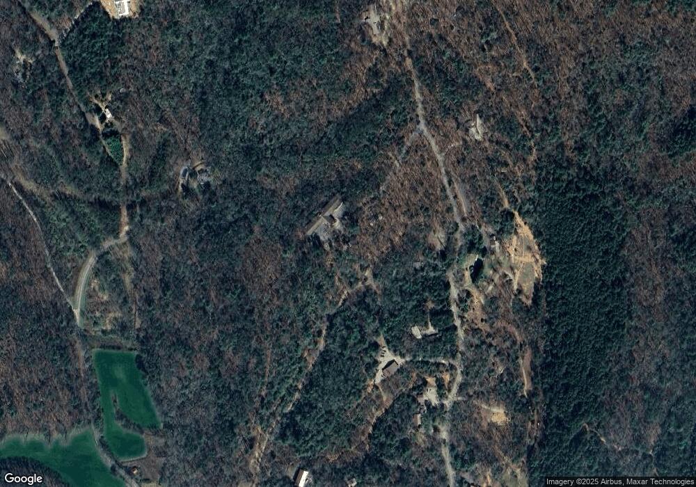
Map
Nearby Homes
- 47 Chester Rd
- 45 Chester Rd
- 00 Chester Rd
- 2716 Bailey Waters Rd
- 1028 Jess Grizzle Rd
- 61 Station Gap
- 119 Waldrip Rd
- 590 Ridge Rd
- 56 Deer Trail
- Lot123 Mountain View Rd
- LOT 124 Mountain View Rd
- LOT 123 Mountain View Rd
- Lot124 Mountain View Rd
- 564 Ridge Rd
- 0 Mccormick Dr Unit 7568882
- 0 Mccormick Dr Unit 10509566
- 38 &51 Mountain Crest Rd
- 117 Poplar Dr
- 748 Elm Ln Unit 8A
- 748 Elm Ln
- 559 Forrest Hills Rd
- 175 Wrens Nest Dr
- Lot 24 Forrest Hills Rd
- 515 Forrest Hill S Rd
- 0 Forrest Hills Rd Unit LOT 24 8381959
- 0 Forrest Hills Rd Unit LOT 24 3278476
- 100 Forrest Hills Rd
- 598 Forrest Hills Rd
- 780 Chester Rd
- 415 Forrest Hill S Rd
- 753 Forrest Hill S Rd
- 450 Forrest Hill S Rd
- 159 Lovebird Ln
- 86 Moonlight Meadow
- 874 Chester Rd
- 275 Forest Run
- 135 Forrest Hill S Rd
- 135 Forrest Hill S Rd
- 889 Forrest Hills Rd
- 154 Ovr Th Hill Place