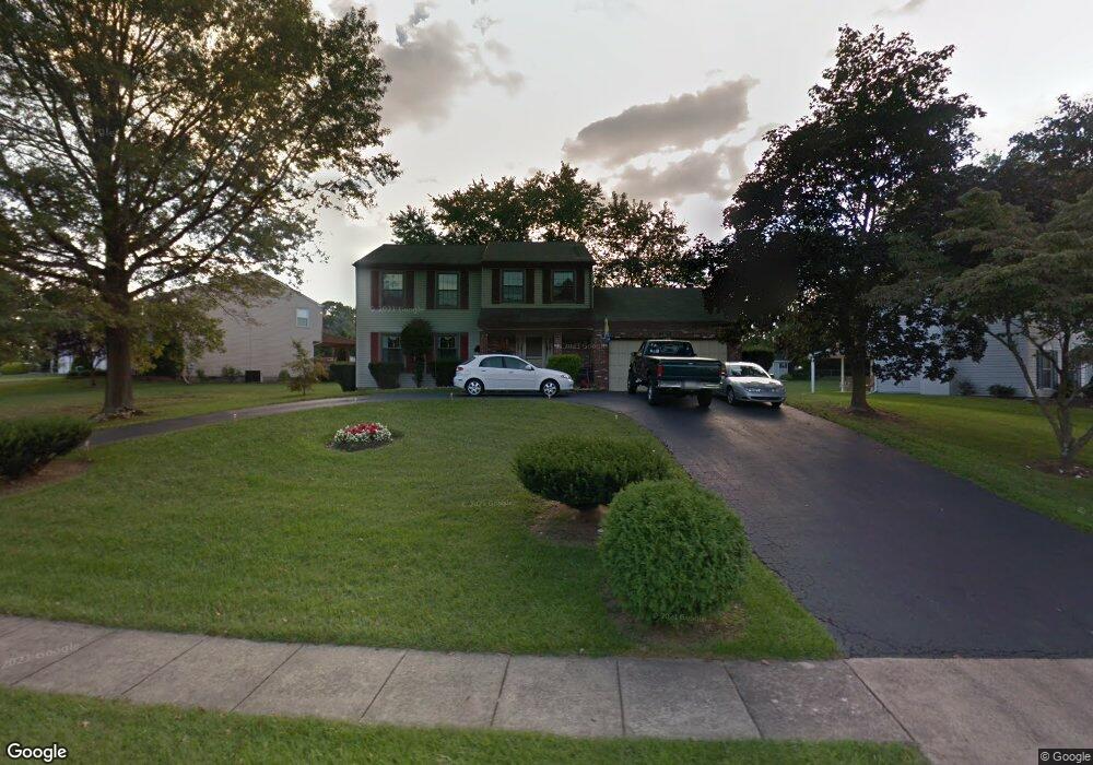
1170 Charter Rd Warminster, PA 18974
Estimated Value: $599,717 - $633,000
4
Beds
3
Baths
2,282
Sq Ft
$271/Sq Ft
Est. Value
About This Home
This home is located at 1170 Charter Rd, Warminster, PA 18974 and is currently estimated at $618,429, approximately $271 per square foot. 1170 Charter Rd is a home located in Bucks County with nearby schools including McDonald Elementary School, Log College Middle School, and William Tennent High School.
Ownership History
Date
Name
Owned For
Owner Type
Purchase Details
Closed on
Jul 25, 1994
Sold by
Federal Home Loan Mortgage Corporation
Bought by
Burns John A and Burns Laura J
Current Estimated Value
Home Financials for this Owner
Home Financials are based on the most recent Mortgage that was taken out on this home.
Original Mortgage
$105,000
Interest Rate
4.87%
Purchase Details
Closed on
Jul 21, 1994
Sold by
Michaels Lawrence R
Bought by
Federal Home Loan Mortgage Corporation
Home Financials for this Owner
Home Financials are based on the most recent Mortgage that was taken out on this home.
Original Mortgage
$105,000
Interest Rate
4.87%
Create a Home Valuation Report for This Property
The Home Valuation Report is an in-depth analysis detailing your home's value as well as a comparison with similar homes in the area
Home Values in the Area
Average Home Value in this Area
Purchase History
| Date | Buyer | Sale Price | Title Company |
|---|---|---|---|
| Burns John A | $155,000 | -- | |
| Federal Home Loan Mortgage Corporation | $849 | -- |
Source: Public Records
Mortgage History
| Date | Status | Borrower | Loan Amount |
|---|---|---|---|
| Closed | Burns John A | $105,000 |
Source: Public Records
Tax History Compared to Growth
Tax History
| Year | Tax Paid | Tax Assessment Tax Assessment Total Assessment is a certain percentage of the fair market value that is determined by local assessors to be the total taxable value of land and additions on the property. | Land | Improvement |
|---|---|---|---|---|
| 2025 | $7,835 | $37,120 | $7,080 | $30,040 |
| 2024 | $7,835 | $37,120 | $7,080 | $30,040 |
| 2023 | $7,594 | $37,120 | $7,080 | $30,040 |
| 2022 | $7,431 | $37,120 | $7,080 | $30,040 |
| 2021 | $7,258 | $37,120 | $7,080 | $30,040 |
| 2020 | $7,156 | $37,120 | $7,080 | $30,040 |
| 2019 | $6,776 | $37,120 | $7,080 | $30,040 |
| 2018 | $6,614 | $37,120 | $7,080 | $30,040 |
| 2017 | $6,420 | $37,120 | $7,080 | $30,040 |
| 2016 | -- | $37,120 | $7,080 | $30,040 |
| 2015 | $6,288 | $37,120 | $7,080 | $30,040 |
| 2014 | $6,288 | $37,120 | $7,080 | $30,040 |
Source: Public Records
Map
Nearby Homes
- 11 Lincoln Ave
- 109 Wilson Ave
- 56 Parry Way
- 146 Grandview Dr
- 55 Parry Way
- 59 Parry Way
- The Addis Plan at The Reserve at Spring Mill
- The Beckett Plan at The Reserve at Spring Mill
- 1297 Twin Streams Dr
- 10 Spring Mill Dr
- 9 Spring Mill Dr
- 11 Spring Mill Dr
- 8 Lacey Ln
- 18 Lacey Ln
- 451 Twin Streams Dr
- 130 E Street Rd
- 667 Arbor Ln
- 675 Cheryl Dr
- 11111 Centennial Station
- 524 Penrose Ln
- 1160 Charter Rd
- 1180 Charter Rd
- 1190 Charter Rd
- 41 Dorsett Cir
- 1150 Charter Rd
- 31 Dorsett Cir
- 1169 Charter Rd
- 1165 Charter Rd
- 1159 Charter Rd
- 1179 Charter Rd
- 1200 Charter Rd
- 21 Dorsett Cir
- 1155 Charter Rd
- 1189 Charter Rd
- 11 Dorsett Cir
- 1199 Charter Rd
- 1140 Charter Rd
- 50 Dorsett Cir
- 40 Dorsett Cir
- 1145 Charter Rd