Estimated Value: $72,000 - $189,000
2
Beds
1
Bath
1,330
Sq Ft
$111/Sq Ft
Est. Value
About This Home
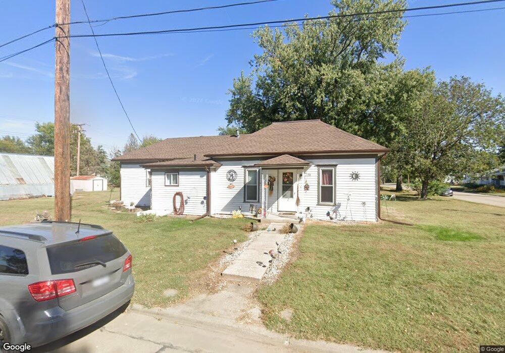
This home is located at 1170 F St, Utica, NE 68456 and is currently estimated at $147,320, approximately $110 per square foot. 1170 F St is a home located in Seward County with nearby schools including Centennial Elementary School, Centennial High School, and St. Paul Lutheran School.
Ownership History
Date
Name
Owned For
Owner Type
Purchase Details
Closed on
Jun 17, 2009
Sold by
Us Bank Na
Bought by
Joyce Christopher M
Current Estimated Value
Home Financials for this Owner
Home Financials are based on the most recent Mortgage that was taken out on this home.
Original Mortgage
$24,448
Outstanding Balance
$15,372
Interest Rate
4.84%
Mortgage Type
FHA
Estimated Equity
$131,948
Purchase Details
Closed on
Nov 3, 2008
Sold by
Homp Denise E
Bought by
U S Bank N A
Purchase Details
Closed on
Dec 1, 2006
Sold by
Lankford Steven and Lankford Crystal
Bought by
Homp Denise E
Create a Home Valuation Report for This Property
The Home Valuation Report is an in-depth analysis detailing your home's value as well as a comparison with similar homes in the area
Purchase History
| Date | Buyer | Sale Price | Title Company |
|---|---|---|---|
| Joyce Christopher M | $22,500 | -- | |
| U S Bank N A | -- | -- | |
| Homp Denise E | $76,000 | Union Title Co |
Source: Public Records
Mortgage History
| Date | Status | Borrower | Loan Amount |
|---|---|---|---|
| Open | Joyce Christopher M | $24,448 |
Source: Public Records
Tax History
| Year | Tax Paid | Tax Assessment Tax Assessment Total Assessment is a certain percentage of the fair market value that is determined by local assessors to be the total taxable value of land and additions on the property. | Land | Improvement |
|---|---|---|---|---|
| 2025 | $590 | $62,965 | $16,830 | $46,135 |
| 2024 | $598 | $57,955 | $15,510 | $42,445 |
| 2023 | $664 | $51,703 | $15,510 | $36,193 |
| 2022 | $645 | $47,826 | $15,510 | $32,316 |
| 2021 | $577 | $43,949 | $15,510 | $28,439 |
| 2020 | $569 | $43,949 | $15,510 | $28,439 |
| 2019 | $474 | $37,426 | $15,536 | $21,890 |
| 2018 | $460 | $36,727 | $15,246 | $21,481 |
| 2017 | $440 | $50,849 | $14,520 | $36,329 |
| 2016 | $427 | $34,978 | $14,520 | $20,458 |
| 2015 | $409 | $34,978 | $14,520 | $20,458 |
| 2013 | $469 | $34,978 | $14,520 | $20,458 |
Source: Public Records
Map
Nearby Homes
- 141 Bronco Cir
- 325 D St
- 1026 Frances St
- 603 Omaha St
- 1107 Road P
- 2307 Nebraska 69
- 640 A St
- 2304 E 16th St
- 0 Tbd 294 Rd Unit 11552208
- 0 Tbd 294 Rd Unit 24423505
- 1719 N Brookside Ln
- 1436 N Maine Ave
- Lot 15 Blk 2 E Paradise Pond View
- 1503 Meadow Ln
- 442 364th
- 1606 Colonial Dr
- 1104 Vista Way
- 1229 N Delaware Ave
- 120 S Florida Ave
- 1318 Kiplinger Ave
Your Personal Tour Guide
Ask me questions while you tour the home.