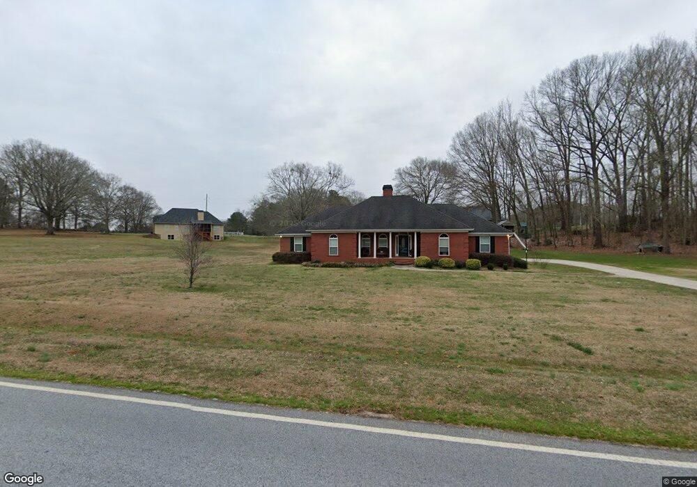
11700 Hazelbrand Rd NE Covington, GA 30014
Estimated Value: $446,070 - $530,000
3
Beds
2
Baths
2,578
Sq Ft
$196/Sq Ft
Est. Value
About This Home
This home is located at 11700 Hazelbrand Rd NE, Covington, GA 30014 and is currently estimated at $505,268, approximately $195 per square foot. 11700 Hazelbrand Rd NE is a home located in Newton County with nearby schools including Flint Hill Elementary School, Cousins Middle School, and Eastside High School.
Ownership History
Date
Name
Owned For
Owner Type
Purchase Details
Closed on
Sep 13, 2005
Sold by
Garner David J
Bought by
Garner David J and Garner Jodi
Current Estimated Value
Home Financials for this Owner
Home Financials are based on the most recent Mortgage that was taken out on this home.
Original Mortgage
$198,500
Outstanding Balance
$103,696
Interest Rate
5.77%
Mortgage Type
Stand Alone Second
Estimated Equity
$401,572
Create a Home Valuation Report for This Property
The Home Valuation Report is an in-depth analysis detailing your home's value as well as a comparison with similar homes in the area
Home Values in the Area
Average Home Value in this Area
Purchase History
| Date | Buyer | Sale Price | Title Company |
|---|---|---|---|
| Garner David J | -- | -- |
Source: Public Records
Mortgage History
| Date | Status | Borrower | Loan Amount |
|---|---|---|---|
| Open | Garner David J | $198,500 |
Source: Public Records
Tax History Compared to Growth
Tax History
| Year | Tax Paid | Tax Assessment Tax Assessment Total Assessment is a certain percentage of the fair market value that is determined by local assessors to be the total taxable value of land and additions on the property. | Land | Improvement |
|---|---|---|---|---|
| 2025 | $4,589 | $192,960 | $10,000 | $182,960 |
| 2024 | $4,478 | $176,760 | $10,000 | $166,760 |
| 2023 | $4,438 | $163,560 | $10,000 | $153,560 |
| 2022 | $4,016 | $148,000 | $10,000 | $138,000 |
| 2021 | $3,639 | $123,880 | $10,000 | $113,880 |
| 2020 | $2,959 | $91,960 | $10,000 | $81,960 |
| 2019 | $2,700 | $83,040 | $10,000 | $73,040 |
| 2018 | $2,471 | $75,880 | $10,000 | $65,880 |
| 2017 | $2,320 | $71,480 | $10,000 | $61,480 |
| 2016 | $2,320 | $71,480 | $10,000 | $61,480 |
| 2015 | $2,195 | $67,840 | $10,000 | $57,840 |
| 2014 | $2,190 | $67,840 | $0 | $0 |
Source: Public Records
Map
Nearby Homes
- 11725 Hazelbrand Rd NE
- 220 River Meadow Ln
- 230 River Meadow Ln
- 210 River Meadow Ln
- 180 River Meadow Ln
- 90 Cove Ln
- 600 River Cove Rd
- 515 Gregory Rd
- 1455 River Cove Rd
- 430 Gregory Rd
- 90 Eastwood Cir
- 295 Eastwood Forest
- 95 Hawthorn Ln
- 115 Alcovy Cir
- 58 Deerfield Rd
- 12741 Alcovy Rd
- 45 Bridgemill Dr
- 255 Orchard Dr
- 235 Orchard Dr
- 205 Orchard Dr
- 280 Cochran Rd
- 200 Cochran Rd
- 150 Cochran Rd
- 11663 Hazelbrand Rd NE
- 11751 Hazelbrand Rd NE
- 400 Cochran Rd
- 375 Cochran Rd
- 155 Cochran Rd
- 505 Jenkins Rd
- 11835 Hazelbrand Rd NE
- 500 Cochran Rd
- 11851 Hazelbrand Rd NE
- 475 Cochran Rd
- 11585 Hazelbrand Rd NE
- 450 Jenkins Rd
- 740 Cochran Rd
- 11741 Hazelbrand Rd NE
- 40 Mcmahon Rd
- 11926 Hazelbrand Rd NE
- 760 Cochran Rd