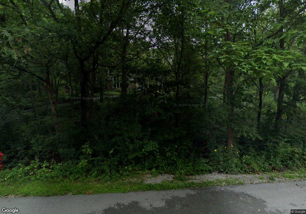
11700 S Walnut Ridge Dr Palos Park, IL 60464
Estimated Value: $739,416 - $773,000
6
Beds
3
Baths
3,493
Sq Ft
$216/Sq Ft
Est. Value
About This Home
This home is located at 11700 S Walnut Ridge Dr, Palos Park, IL 60464 and is currently estimated at $753,354, approximately $215 per square foot. 11700 S Walnut Ridge Dr is a home located in Cook County with nearby schools including Palos East Elementary School, Palos South Middle School, and Amos Alonzo Stagg High School.
Ownership History
Date
Name
Owned For
Owner Type
Purchase Details
Closed on
May 5, 1997
Sold by
Standard Bank & Trust Company
Bought by
Wall Michael J and Wall Joan E
Current Estimated Value
Home Financials for this Owner
Home Financials are based on the most recent Mortgage that was taken out on this home.
Original Mortgage
$100,000
Interest Rate
8.27%
Create a Home Valuation Report for This Property
The Home Valuation Report is an in-depth analysis detailing your home's value as well as a comparison with similar homes in the area
Home Values in the Area
Average Home Value in this Area
Purchase History
| Date | Buyer | Sale Price | Title Company |
|---|---|---|---|
| Wall Michael J | $400,000 | -- |
Source: Public Records
Mortgage History
| Date | Status | Borrower | Loan Amount |
|---|---|---|---|
| Closed | Wall Michael J | $100,000 |
Source: Public Records
Tax History Compared to Growth
Tax History
| Year | Tax Paid | Tax Assessment Tax Assessment Total Assessment is a certain percentage of the fair market value that is determined by local assessors to be the total taxable value of land and additions on the property. | Land | Improvement |
|---|---|---|---|---|
| 2024 | $13,017 | $59,001 | $15,758 | $43,243 |
| 2023 | $11,245 | $59,001 | $15,758 | $43,243 |
| 2022 | $11,245 | $43,520 | $13,657 | $29,863 |
| 2021 | $10,472 | $43,518 | $13,656 | $29,862 |
| 2020 | $10,203 | $43,518 | $13,656 | $29,862 |
| 2019 | $10,898 | $47,953 | $12,606 | $35,347 |
| 2018 | $10,573 | $47,953 | $12,606 | $35,347 |
| 2017 | $10,280 | $47,953 | $12,606 | $35,347 |
| 2016 | $10,498 | $43,674 | $10,505 | $33,169 |
| 2015 | $10,325 | $43,674 | $10,505 | $33,169 |
| 2014 | $10,231 | $43,674 | $10,505 | $33,169 |
| 2013 | $9,828 | $44,792 | $10,505 | $34,287 |
Source: Public Records
Map
Nearby Homes
- 13010 S 85th Ave
- 11731 S Brookside Dr Unit 10218
- 8459 Edelweiss Dr
- 11556 S Alpine Ave
- 8254 Chestnut Dr Unit 41B
- 8234 Chestnut Dr Unit 39B
- 5 Cour Caravelle
- 8255 Juniper Ct Unit C
- 11210 S Cherry Ct Unit 52C
- 8322 W 123rd St
- 8246 Holly Ct Unit D
- 8255 Holly Ct Unit 25B
- 11207 Cottonwood Dr Unit 21C
- 11206 Cottonwood Dr Unit 22D
- 11131 S 84th Ave Unit 1A
- 11133 S 84th Ave Unit 3A
- 10 Cour Masson Unit 5
- 7909 W 120th St
- 11120 S 84th Ave Unit 1B
- 11151 Cottonwood Dr Unit 19C
- 11701 S Holmes Ave
- 11724 S Walnut Ridge Dr
- 11650 S Walnut Ridge Dr
- 11701 S Walnut Ridge Dr
- 11723 S Holmes Ave
- 11649 S Holmes Ave
- 11743 S Walnut Ridge Dr
- 11700 S Highwood Dr
- 11748 S Walnut Ridge Dr
- 11714 S Highwood Dr
- 11626 S Walnut Ridge Dr
- 11745 S Holmes Ave
- 11648 S Highwood Dr
- 11625 S Holmes Ave
- 11700 S Holmes Ave
- 11720 S Holmes Ave
- 11728 S Highwood Dr
- 11625 S Walnut Ridge Dr
- 11747 S Walnut Ridge Dr
- 11632 S Highwood Dr