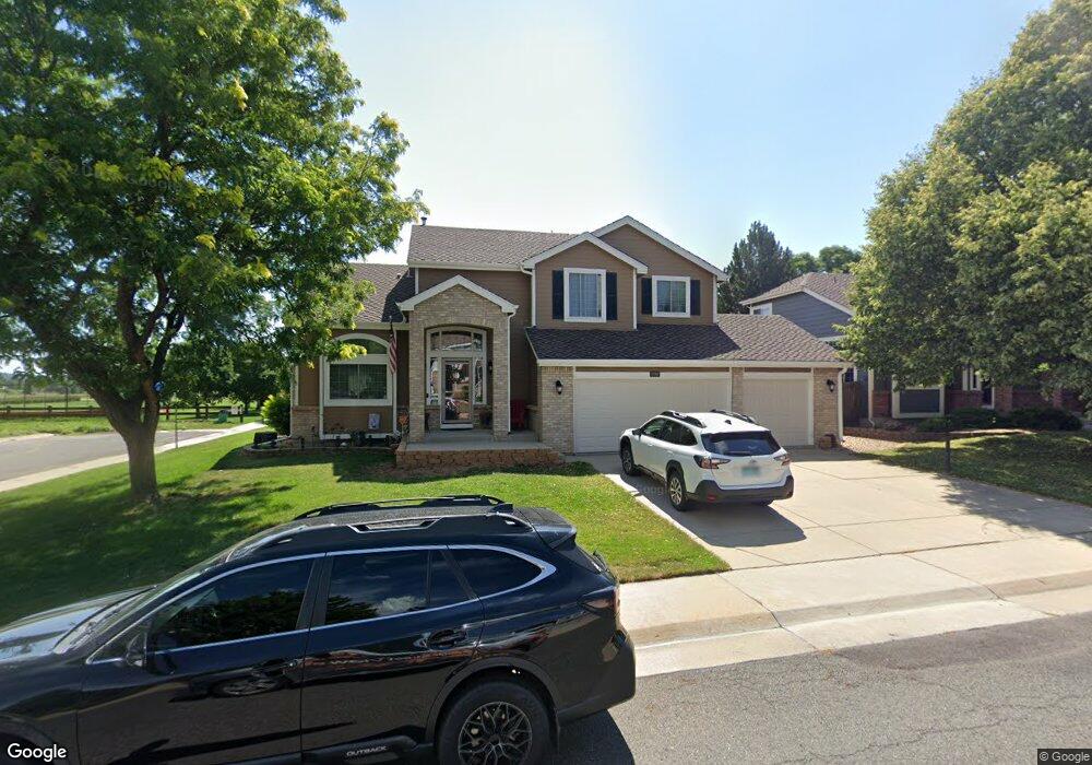
11702 W 56th Cir Arvada, CO 80002
Rainbow Ridge NeighborhoodEstimated Value: $682,000 - $808,000
3
Beds
5
Baths
1,847
Sq Ft
$413/Sq Ft
Est. Value
About This Home
This home is located at 11702 W 56th Cir, Arvada, CO 80002 and is currently estimated at $763,660, approximately $413 per square foot. 11702 W 56th Cir is a home located in Jefferson County with nearby schools including Vanderhoof Elementary School, Drake Junior High School, and Arvada West High School.
Ownership History
Date
Name
Owned For
Owner Type
Purchase Details
Closed on
May 29, 2001
Sold by
Nyburg David L and Nyburg Sandra L
Bought by
Carlton Lincoln and Carlton Christina
Current Estimated Value
Home Financials for this Owner
Home Financials are based on the most recent Mortgage that was taken out on this home.
Original Mortgage
$299,900
Outstanding Balance
$116,155
Interest Rate
7.37%
Estimated Equity
$647,505
Create a Home Valuation Report for This Property
The Home Valuation Report is an in-depth analysis detailing your home's value as well as a comparison with similar homes in the area
Home Values in the Area
Average Home Value in this Area
Purchase History
| Date | Buyer | Sale Price | Title Company |
|---|---|---|---|
| Carlton Lincoln | $299,900 | Colorado National Title |
Source: Public Records
Mortgage History
| Date | Status | Borrower | Loan Amount |
|---|---|---|---|
| Open | Carlton Lincoln | $299,900 |
Source: Public Records
Tax History Compared to Growth
Tax History
| Year | Tax Paid | Tax Assessment Tax Assessment Total Assessment is a certain percentage of the fair market value that is determined by local assessors to be the total taxable value of land and additions on the property. | Land | Improvement |
|---|---|---|---|---|
| 2024 | $4,665 | $48,098 | $24,130 | $23,968 |
| 2023 | $4,665 | $48,098 | $24,130 | $23,968 |
| 2022 | $3,948 | $40,315 | $18,198 | $22,117 |
| 2021 | $4,013 | $41,475 | $18,721 | $22,754 |
| 2020 | $3,560 | $36,894 | $15,803 | $21,091 |
| 2019 | $3,512 | $36,894 | $15,803 | $21,091 |
| 2018 | $3,274 | $33,436 | $10,503 | $22,933 |
| 2017 | $2,997 | $33,436 | $10,503 | $22,933 |
| 2016 | $2,913 | $30,614 | $8,326 | $22,288 |
| 2015 | $2,673 | $30,614 | $8,326 | $22,288 |
| 2014 | $2,673 | $26,396 | $8,574 | $17,822 |
Source: Public Records
Map
Nearby Homes
- 11873 W 56th Cir
- 11958 W 57th Place
- 11237 W 55th Ln
- 11201 W 53rd Dr
- The SIXTEEN Plan at Sabell - Townhomes
- The NINETEEN Plan at Sabell - Townhomes
- 11924 W 57th Dr
- 11944 W 57th Dr
- 5779 Taft St
- 5240 Routt Ct Unit B
- 11205 W 53rd Ln
- 5368 Quail St
- 5387 Pierson Ct
- 5738 Urban Center
- 5293 Quail Way
- 5182 Rob Way
- Haskins Station Plan at Haskins Station
- Plan 133 at Haskins Station
- Plan 132 at Haskins Station
- Plan 122 at Haskins Station
- 11712 W 56th Cir
- 11722 W 56th Cir
- 11765 W 56th Dr
- 11703 W 56th Cir
- 11713 W 56th Cir
- 11775 W 56th Dr
- 11732 W 56th Cir
- 11785 W 56th Dr
- 11733 W 56th Cir
- 5642 Tabor Ct
- 5632 Tabor Ct
- 11795 W 56th Dr
- 11742 W 56th Cir
- 5622 Tabor Ct
- 11753 W 56th Cir
- 11805 W 56th Dr
- 5612 Tabor Ct
- 11752 W 56th Cir
- 11773 W 56th Cir
- 11815 W 56th Dr