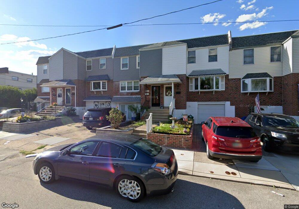
11704 Telfair Rd Philadelphia, PA 19154
Northeast Philadelphia NeighborhoodEstimated Value: $324,000 - $349,000
4
Beds
1
Bath
1,528
Sq Ft
$224/Sq Ft
Est. Value
About This Home
This home is located at 11704 Telfair Rd, Philadelphia, PA 19154 and is currently estimated at $342,070, approximately $223 per square foot. 11704 Telfair Rd is a home located in Philadelphia County with nearby schools including A. L. Fitzpatrick School, George Washington High School, and Our Lady of Calvary School.
Ownership History
Date
Name
Owned For
Owner Type
Purchase Details
Closed on
Dec 22, 2003
Sold by
Kopstiz Michael J and Kopstiz Sandra L
Bought by
Cercioglu Emir
Current Estimated Value
Home Financials for this Owner
Home Financials are based on the most recent Mortgage that was taken out on this home.
Original Mortgage
$127,935
Outstanding Balance
$58,486
Interest Rate
5.8%
Mortgage Type
Purchase Money Mortgage
Estimated Equity
$283,584
Create a Home Valuation Report for This Property
The Home Valuation Report is an in-depth analysis detailing your home's value as well as a comparison with similar homes in the area
Home Values in the Area
Average Home Value in this Area
Purchase History
| Date | Buyer | Sale Price | Title Company |
|---|---|---|---|
| Cercioglu Emir | $142,150 | -- |
Source: Public Records
Mortgage History
| Date | Status | Borrower | Loan Amount |
|---|---|---|---|
| Open | Cercioglu Emir | $127,935 |
Source: Public Records
Tax History Compared to Growth
Tax History
| Year | Tax Paid | Tax Assessment Tax Assessment Total Assessment is a certain percentage of the fair market value that is determined by local assessors to be the total taxable value of land and additions on the property. | Land | Improvement |
|---|---|---|---|---|
| 2026 | $3,651 | $317,600 | $63,520 | $254,080 |
| 2025 | $3,651 | $317,600 | $63,520 | $254,080 |
| 2024 | $3,651 | $317,600 | $63,520 | $254,080 |
| 2023 | $3,651 | $260,800 | $52,160 | $208,640 |
| 2022 | $3,018 | $260,800 | $52,160 | $208,640 |
| 2021 | $3,018 | $0 | $0 | $0 |
| 2020 | $3,018 | $0 | $0 | $0 |
| 2019 | $2,842 | $0 | $0 | $0 |
| 2018 | $2,696 | $0 | $0 | $0 |
| 2017 | $2,696 | $0 | $0 | $0 |
| 2016 | $2,696 | $0 | $0 | $0 |
| 2015 | $2,581 | $0 | $0 | $0 |
| 2014 | -- | $192,600 | $46,987 | $145,613 |
| 2012 | -- | $21,888 | $3,596 | $18,292 |
Source: Public Records
Map
Nearby Homes
- 11731 Dimarco Dr
- 1236 Whittier Ave
- 4374 Deerpath Ln
- 11913 Millbrook Rd
- 238 Dimarco Dr
- 1126 Evelyn Ave
- 4210 Greenmount Rd
- 12028 Millbrook Rd
- 4207 Fairdale Rd
- 4161 Orchard Ln
- 11125 Kirby Dr
- 3803 Dorchester Rd
- 1156 Regina Ave
- 10932 Templeton Dr
- 12008 Elmore Rd
- 10908 Templeton Dr
- 3798 Chalfont Dr
- 1202 Clinton Ave
- 1103 Colonial Ave
- 0 Kings Ln
- 11702 Telfair Rd
- 11708 Telfair Rd
- 11700 Telfair Rd
- 11710 Telfair Rd
- 11712 Telfair Rd
- 4413 Crossland Rd
- 4409 Crossland Rd
- 4411 Crossland Rd
- 11723 Dimarco Dr
- 11725 Dimarco Dr
- 11727 Dimarco Dr
- 11729 Dimarco Dr
- 11719 Telfair Rd
- 11721 Dimarco Dr
- 11716 Telfair Rd
- 4407 Crossland Rd
- 4415 Crossland Rd
- 11733 Dimarco Dr
- 4405 Crossland Rd
- 4403 Crossland Rd