11705 Baird Rd Mount Perry, OH 43760
Estimated Value: $327,000 - $421,865
4
Beds
2
Baths
1,640
Sq Ft
$216/Sq Ft
Est. Value
About This Home
This home is located at 11705 Baird Rd, Mount Perry, OH 43760 and is currently estimated at $353,966, approximately $215 per square foot. 11705 Baird Rd is a home located in Muskingum County with nearby schools including West Muskingum High School.
Ownership History
Date
Name
Owned For
Owner Type
Purchase Details
Closed on
Nov 15, 2022
Sold by
Head Casey L
Bought by
Head Andrea
Current Estimated Value
Purchase Details
Closed on
Sep 30, 2011
Sold by
Ridenour Richard E and Ridenour Connie
Bought by
Head Joshua L and Head Casey L
Home Financials for this Owner
Home Financials are based on the most recent Mortgage that was taken out on this home.
Original Mortgage
$126,704
Interest Rate
4.23%
Mortgage Type
FHA
Purchase Details
Closed on
Jun 25, 2004
Sold by
Ridenour Richard E and Ridenour Connie
Bought by
Ridenour Richard E and Ridenour Connie
Purchase Details
Closed on
Jan 3, 2002
Sold by
J J Detweiler Enterprise
Bought by
Ridenour Richard E and Messer Connie S
Home Financials for this Owner
Home Financials are based on the most recent Mortgage that was taken out on this home.
Original Mortgage
$183,350
Interest Rate
6.12%
Mortgage Type
New Conventional
Create a Home Valuation Report for This Property
The Home Valuation Report is an in-depth analysis detailing your home's value as well as a comparison with similar homes in the area
Home Values in the Area
Average Home Value in this Area
Purchase History
| Date | Buyer | Sale Price | Title Company |
|---|---|---|---|
| Head Andrea | -- | -- | |
| Head Joshua L | $125,000 | Attorney | |
| Ridenour Richard E | -- | -- | |
| Ridenour Richard E | $193,000 | -- |
Source: Public Records
Mortgage History
| Date | Status | Borrower | Loan Amount |
|---|---|---|---|
| Previous Owner | Head Joshua L | $126,704 | |
| Previous Owner | Ridenour Richard E | $183,350 |
Source: Public Records
Tax History Compared to Growth
Tax History
| Year | Tax Paid | Tax Assessment Tax Assessment Total Assessment is a certain percentage of the fair market value that is determined by local assessors to be the total taxable value of land and additions on the property. | Land | Improvement |
|---|---|---|---|---|
| 2024 | $3,484 | $98,245 | $18,095 | $80,150 |
| 2023 | $2,696 | $71,365 | $13,650 | $57,715 |
| 2022 | $2,579 | $71,365 | $13,650 | $57,715 |
| 2021 | $2,551 | $71,365 | $13,650 | $57,715 |
| 2020 | $2,204 | $59,465 | $11,375 | $48,090 |
| 2019 | $2,210 | $59,465 | $11,375 | $48,090 |
| 2018 | $2,080 | $58,765 | $11,375 | $47,390 |
| 2017 | $1,503 | $41,545 | $11,375 | $30,170 |
| 2016 | $1,505 | $41,550 | $11,380 | $30,170 |
| 2015 | $1,557 | $41,550 | $11,380 | $30,170 |
| 2013 | $3,356 | $41,380 | $11,380 | $30,000 |
Source: Public Records
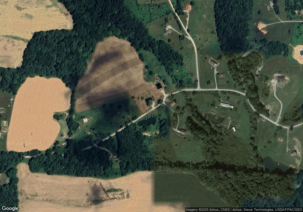
Map
Nearby Homes
- 2105 Gard Ln
- 11631 Rankin Rd
- 0 Rankin Rd
- 11785 Iden Rd SE
- 11149 Rankin Rd
- Lot 3 Hankinson Ln NE
- 935 Hopewell Rd S
- 18284 National Rd
- 10228 Rankin Rd
- 8019 Kroft Rd
- 9360 Poplar Forks Rd SE
- 9898 Poplar Forks Rd SE
- 9995 West Pike
- 0 Black Rd Unit 25134065
- 0 Black Rd Unit 5163493
- 0 Black Rd Unit 225038404
- 0 Trapp Ln
- 2151 Stacy Ln
- 0 Mulberry Rd
- 9441 Mulberry Rd
- 11700 Baird Rd
- 11675 Baird Rd
- 11770 Baird Rd
- 2090 Harden Dr
- 11555 Baird Rd
- 2077 Harden Dr
- Lot 16 Harden Dr
- 2105 Harden Dr
- 2057 Harden Dr
- 11505 Baird Rd
- 12085 Baird Rd
- 2050 Harden Dr
- 2050 Harden Dr Unit LOT16
- 2095 Gard Ln
- 2037 Harden Dr
- 11300 Baird Rd
- 12155 Baird Rd
- 2053 Gard Ln
- 15270 Township Road 30
- 2007 Harden Dr