11706 Genstock Rd Centertown, MO 65023
Estimated Value: $228,004 - $257,000
3
Beds
1
Bath
1,803
Sq Ft
$136/Sq Ft
Est. Value
About This Home
This home is located at 11706 Genstock Rd, Centertown, MO 65023 and is currently estimated at $245,251, approximately $136 per square foot. 11706 Genstock Rd is a home located in Cole County with nearby schools including Pioneer Trail Elementary School, Thomas Jefferson Middle School, and Capital City High School.
Ownership History
Date
Name
Owned For
Owner Type
Purchase Details
Closed on
Dec 2, 2025
Sold by
Henry Jevin R
Bought by
Weber Brandon D and Weber Sandra D
Current Estimated Value
Home Financials for this Owner
Home Financials are based on the most recent Mortgage that was taken out on this home.
Original Mortgage
$214,985
Outstanding Balance
$214,985
Interest Rate
6.19%
Mortgage Type
New Conventional
Estimated Equity
$30,266
Purchase Details
Closed on
Jul 24, 2024
Sold by
Landrum Clarence L and Landrum Ramona H
Bought by
Henry Jevin R and Roderick Tiffany Michelle
Home Financials for this Owner
Home Financials are based on the most recent Mortgage that was taken out on this home.
Original Mortgage
$550,000
Interest Rate
6.95%
Mortgage Type
Construction
Create a Home Valuation Report for This Property
The Home Valuation Report is an in-depth analysis detailing your home's value as well as a comparison with similar homes in the area
Purchase History
| Date | Buyer | Sale Price | Title Company |
|---|---|---|---|
| Weber Brandon D | -- | Midwest Title | |
| Henry Jevin R | -- | Midwest Title | |
| Henry Jevin | -- | Midwest Title |
Source: Public Records
Mortgage History
| Date | Status | Borrower | Loan Amount |
|---|---|---|---|
| Open | Weber Brandon D | $214,985 | |
| Previous Owner | Henry Jevin | $550,000 |
Source: Public Records
Tax History
| Year | Tax Paid | Tax Assessment Tax Assessment Total Assessment is a certain percentage of the fair market value that is determined by local assessors to be the total taxable value of land and additions on the property. | Land | Improvement |
|---|---|---|---|---|
| 2025 | $1,245 | $21,830 | $2,850 | $18,980 |
| 2024 | $12 | $21,830 | $2,850 | $18,980 |
| 2023 | $1,245 | $21,830 | $2,850 | $18,980 |
| 2022 | $1,179 | $20,600 | $0 | $20,600 |
| 2021 | $1,186 | $20,600 | $0 | $20,600 |
| 2020 | $1,200 | $21,546 | $2,850 | $18,696 |
| 2019 | $1,166 | $20,463 | $2,850 | $17,613 |
| 2018 | $1,164 | $21,679 | $2,850 | $18,829 |
| 2017 | $1,135 | $20,596 | $2,850 | $17,746 |
| 2016 | -- | $20,596 | $2,850 | $17,746 |
| 2015 | $962 | $0 | $0 | $0 |
| 2014 | $962 | $20,596 | $2,850 | $17,746 |
Source: Public Records
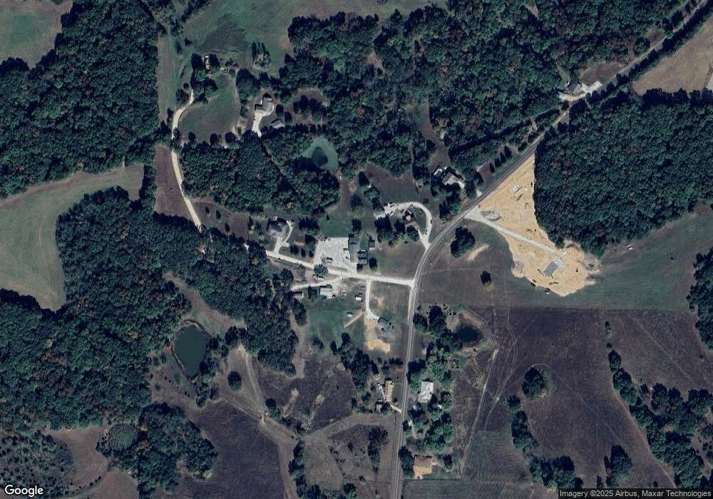
Map
Nearby Homes
- 1407 Conrad St
- 11814 Main St
- 318 Murphy Ford Road (Land Only) Rd
- 0 Murphy Ford Rd
- 31602 Mockingbird Rd
- 30382 Oak Meadows Rd
- 202 Carel Rd
- 201 Poelker Place
- 141 Poelker Place
- 205 Poelker Place
- 6919 Stonebridge Park Dr
- 0 Dynamite Ridge Rd
- 317 W Forest Ct
- 6115 Napa Ridge Rd
- 731 Biltmore Dr
- 732 Biltmore Dr
- 728 Biltmore Dr
- 57421 Lake Imhoff Rd
- 57357 Quentin Dr
- 56981 State Route N
- 2305 Route Nn
- 11804 Genstock Rd
- 2321 Route Nn
- 2205 Route Nn
- 11815 Genstock Rd
- 2206 Route Nn
- 11908 Genstock Rd
- 11925 Genstock Rd
- 2109 Route Nn
- 2506 Route Nn
- 2519 Route Nn
- 1909 Monroe St
- 1906 Monroe St
- 1826 Monroe St
- 2426 Pea Ridge Rd
- 11215 Kings Chapel West Rd
- 2828 Route Nn
- 2917 Route Nn
- 11507 Kings Chapel West Rd
- 2407 Pea Ridge Rd
Your Personal Tour Guide
Ask me questions while you tour the home.