11707 Hartford Way Mukilteo, WA 98275
Harbour Pointe NeighborhoodEstimated Value: $867,658 - $969,000
3
Beds
3
Baths
1,870
Sq Ft
$487/Sq Ft
Est. Value
About This Home
This home is located at 11707 Hartford Way, Mukilteo, WA 98275 and is currently estimated at $911,165, approximately $487 per square foot. 11707 Hartford Way is a home located in Snohomish County with nearby schools including Endeavour Elementary School, Harbour Pointe Middle School, and Kamiak High School.
Ownership History
Date
Name
Owned For
Owner Type
Purchase Details
Closed on
Jun 27, 2023
Sold by
Teraoka Beverly T
Bought by
Beverly Toshie Teraoka Living Trust and Teraoka
Current Estimated Value
Purchase Details
Closed on
May 29, 2002
Sold by
Lozier Homes Corp
Bought by
Teraoka Beverly T
Home Financials for this Owner
Home Financials are based on the most recent Mortgage that was taken out on this home.
Original Mortgage
$224,750
Interest Rate
6.83%
Create a Home Valuation Report for This Property
The Home Valuation Report is an in-depth analysis detailing your home's value as well as a comparison with similar homes in the area
Home Values in the Area
Average Home Value in this Area
Purchase History
| Date | Buyer | Sale Price | Title Company |
|---|---|---|---|
| Beverly Toshie Teraoka Living Trust | -- | None Listed On Document | |
| Teraoka Beverly T | $280,950 | -- |
Source: Public Records
Mortgage History
| Date | Status | Borrower | Loan Amount |
|---|---|---|---|
| Previous Owner | Teraoka Beverly T | $224,750 |
Source: Public Records
Tax History Compared to Growth
Tax History
| Year | Tax Paid | Tax Assessment Tax Assessment Total Assessment is a certain percentage of the fair market value that is determined by local assessors to be the total taxable value of land and additions on the property. | Land | Improvement |
|---|---|---|---|---|
| 2025 | $5,515 | $798,100 | $482,000 | $316,100 |
| 2024 | $5,515 | $760,300 | $452,000 | $308,300 |
| 2023 | $5,452 | $775,900 | $425,000 | $350,900 |
| 2022 | $4,748 | $579,900 | $282,000 | $297,900 |
| 2020 | $4,156 | $510,800 | $255,000 | $255,800 |
| 2019 | $3,781 | $475,300 | $222,000 | $253,300 |
| 2018 | $4,139 | $451,400 | $214,000 | $237,400 |
| 2017 | $3,661 | $415,100 | $191,000 | $224,100 |
| 2016 | $3,402 | $383,700 | $169,000 | $214,700 |
| 2015 | $3,628 | $367,900 | $157,000 | $210,900 |
| 2013 | $3,213 | $304,500 | $145,000 | $159,500 |
Source: Public Records
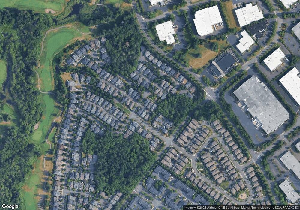
Map
Nearby Homes
- 11702 Wilmington Way
- 4818 Pointes Dr
- 12058 Concord Way
- 12303 Harbour Pointe Blvd Unit W101
- 5400 Harbour Pointe Blvd Unit F 201
- 5300 Harbour Pointe Blvd Unit 307A
- 5300 Harbour Pointe Blvd Unit 311H
- 5500 Harbour Pointe Blvd Unit B202
- 11521 Pine Ct Unit 4
- 5615 114th St SW
- 5824 111th Place SW
- 10705 57th Place W
- 13303 48th Place W
- 12807 60th Ave W
- 13322 47th Place W
- 11017 Villa Rosa Ln Unit 11017
- 10961 Villa Monte Ct Unit 10961
- 12900 Beverly Park Rd
- 10122 50th Place W
- 12117 Clearview Dr
- 11711 Hartford Way
- 11703 Hartford Way
- 4715 Northport Dr
- 4729 Northport Dr
- 4711 Northport Dr
- 11681 Hartford Way
- 11697 Hartford Way
- 4722 Bridgeport Place
- 11675 Hartford Way
- 4651 Northport Dr
- 4665 Northport Dr
- 4665 Northport Dr
- 4683 Bridgeport Place
- 4726 Bridgeport Place
- 4679 Northport Dr
- 11705 Wilmington Way
- 4697 Bridgeport Place
- 11767 Hartford Way
- 4730 Bridgeport Place
- 4636 Camden Place