11707 State Route 162 E Puyallup, WA 98374
Estimated Value: $544,000 - $594,176
2
Beds
1
Bath
1,746
Sq Ft
$325/Sq Ft
Est. Value
About This Home
This home is located at 11707 State Route 162 E, Puyallup, WA 98374 and is currently estimated at $567,044, approximately $324 per square foot. 11707 State Route 162 E is a home located in Pierce County with nearby schools including Maple Lawn Elementary School, Sumner Middle School, and Sumner High School.
Ownership History
Date
Name
Owned For
Owner Type
Purchase Details
Closed on
Apr 25, 2025
Sold by
Jewett Dennis L and Jewett Candice J
Bought by
Faulk Robert J and Faulk Cristi
Current Estimated Value
Home Financials for this Owner
Home Financials are based on the most recent Mortgage that was taken out on this home.
Original Mortgage
$412,500
Outstanding Balance
$410,669
Interest Rate
6.65%
Mortgage Type
New Conventional
Estimated Equity
$156,375
Create a Home Valuation Report for This Property
The Home Valuation Report is an in-depth analysis detailing your home's value as well as a comparison with similar homes in the area
Home Values in the Area
Average Home Value in this Area
Purchase History
| Date | Buyer | Sale Price | Title Company |
|---|---|---|---|
| Faulk Robert J | $550,000 | Old Republic Title |
Source: Public Records
Mortgage History
| Date | Status | Borrower | Loan Amount |
|---|---|---|---|
| Open | Faulk Robert J | $412,500 |
Source: Public Records
Tax History Compared to Growth
Tax History
| Year | Tax Paid | Tax Assessment Tax Assessment Total Assessment is a certain percentage of the fair market value that is determined by local assessors to be the total taxable value of land and additions on the property. | Land | Improvement |
|---|---|---|---|---|
| 2025 | $5,613 | $516,200 | $312,200 | $204,000 |
| 2024 | $5,613 | $483,300 | $282,000 | $201,300 |
| 2023 | $5,613 | $453,700 | $254,300 | $199,400 |
| 2022 | $5,680 | $473,400 | $271,900 | $201,500 |
| 2021 | $4,868 | $341,500 | $179,100 | $162,400 |
| 2019 | $4,053 | $310,700 | $159,600 | $151,100 |
| 2018 | $3,935 | $297,900 | $153,300 | $144,600 |
| 2017 | $3,003 | $258,400 | $121,400 | $137,000 |
| 2016 | $2,624 | $181,900 | $104,300 | $77,600 |
| 2014 | $1,183 | $162,000 | $90,100 | $71,900 |
| 2013 | $1,183 | $143,100 | $79,000 | $64,100 |
Source: Public Records
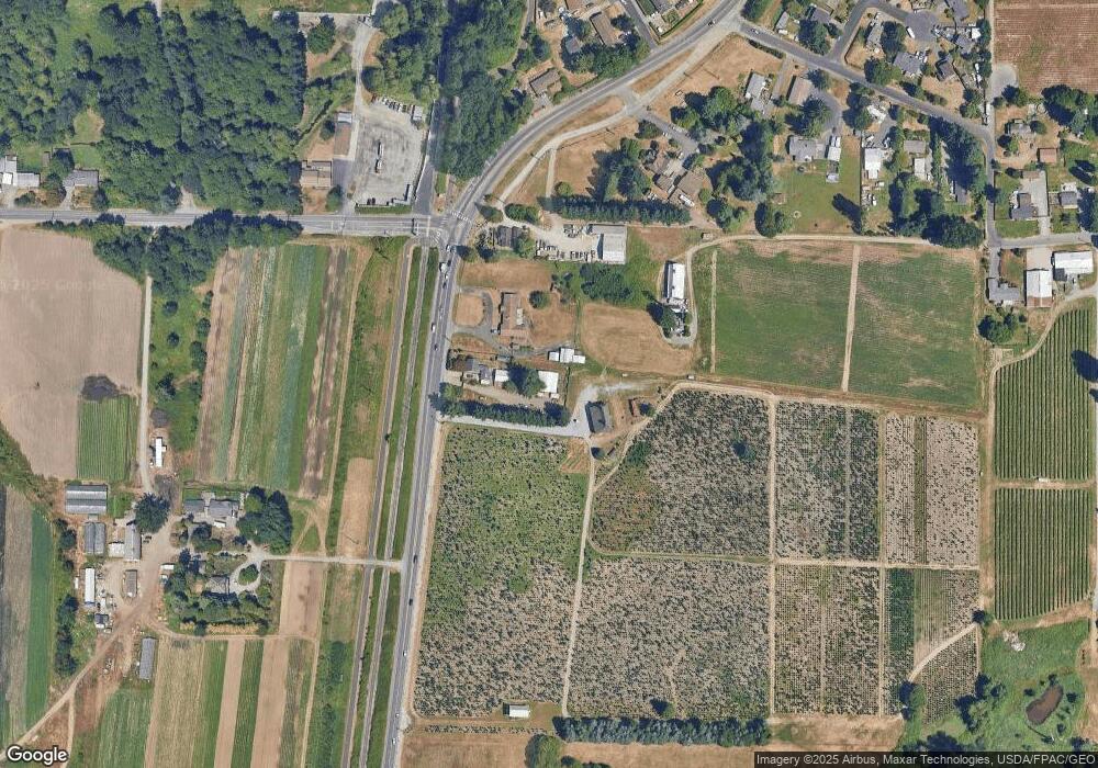
Map
Nearby Homes
- 14720 115th Street Ct E
- 15002 116th St E
- 11618 Jennifer Ct E
- 13915 120th St E
- 13712 116th Street Ct E
- 12713 142nd Avenue Ct E Unit 4
- 15026 106th St E
- 10106 128th St E
- 12430 136th Ave E
- 10811 Rampart Dr E
- 11720 130th Avenue Ct E
- 12622 132nd Avenue Ct E
- 3216 31st Ave SE
- 12084 127th Avenue Ct E Unit 72
- 12088 126th Avenue Ct E Unit 71
- 12092 127th Avenue Ct E Unit 70
- 12071 127th Ave E Unit 53
- 12703 120th Street Ct E Unit 20
- 12079 127th Ave E Unit 54
- 12083 127th Ave E Unit 55
- 11617 State Route 162 E
- 11601 State Route 162 E
- 0 XXX Washington 162
- 14501 Military Rd E
- 11521 State Route 162 E
- 11810 Washington 162
- 11522 State Route 162 E
- 11810 State Route 162 E
- 14714 115th Street Ct E
- 11822 State Route 162 E
- 14708 115th Street Ct E
- 14810 115th St E
- 14721 115th Street Ct E
- 14702 115th Street Ct E
- 11412 State Route 162 E
- 14305 Military Rd E
- 14701 115th Street Ct E
- 14709 115th Street Ct E
- 11406 149th Avenue Ct E
- 14221 Military Rd E