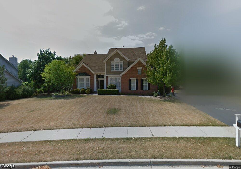
1171 Fox Path West Dundee, IL 60118
Estimated Value: $534,663 - $551,000
5
Beds
3
Baths
3,184
Sq Ft
$171/Sq Ft
Est. Value
About This Home
This home is located at 1171 Fox Path, West Dundee, IL 60118 and is currently estimated at $544,416, approximately $170 per square foot. 1171 Fox Path is a home located in Kane County with nearby schools including Sleepy Hollow Elementary School, Dundee Middle School, and Dundee-Crown High School.
Ownership History
Date
Name
Owned For
Owner Type
Purchase Details
Closed on
Sep 30, 2019
Sold by
Wiechmann Roger P and Wiechmann Nancy I
Bought by
Wiechmann Roger P and Wiechmann Nancy I
Current Estimated Value
Purchase Details
Closed on
Aug 20, 2007
Sold by
Mason David E and Mason Candace
Bought by
Wiechmann Roger P and Wiechmann Nancy I
Home Financials for this Owner
Home Financials are based on the most recent Mortgage that was taken out on this home.
Original Mortgage
$357,600
Outstanding Balance
$227,684
Interest Rate
6.77%
Mortgage Type
Purchase Money Mortgage
Estimated Equity
$316,732
Purchase Details
Closed on
Sep 13, 1996
Sold by
The Ryland Group Inc
Bought by
Mason David E and Mason Candace
Home Financials for this Owner
Home Financials are based on the most recent Mortgage that was taken out on this home.
Original Mortgage
$207,000
Interest Rate
8%
Create a Home Valuation Report for This Property
The Home Valuation Report is an in-depth analysis detailing your home's value as well as a comparison with similar homes in the area
Home Values in the Area
Average Home Value in this Area
Purchase History
| Date | Buyer | Sale Price | Title Company |
|---|---|---|---|
| Wiechmann Roger P | -- | None Available | |
| Wiechmann Roger P | $447,000 | Chicago Title Insurance Co | |
| Mason David E | $318,000 | Ticor Title Insurance |
Source: Public Records
Mortgage History
| Date | Status | Borrower | Loan Amount |
|---|---|---|---|
| Open | Wiechmann Roger P | $357,600 | |
| Previous Owner | Mason David E | $207,000 |
Source: Public Records
Tax History
| Year | Tax Paid | Tax Assessment Tax Assessment Total Assessment is a certain percentage of the fair market value that is determined by local assessors to be the total taxable value of land and additions on the property. | Land | Improvement |
|---|---|---|---|---|
| 2024 | $11,754 | $160,196 | $27,254 | $132,942 |
| 2023 | $10,965 | $144,139 | $24,522 | $119,617 |
| 2022 | $11,118 | $137,203 | $24,522 | $112,681 |
| 2021 | $10,712 | $129,547 | $23,154 | $106,393 |
| 2020 | $10,507 | $126,634 | $22,633 | $104,001 |
| 2019 | $10,152 | $120,215 | $21,486 | $98,729 |
| 2018 | $10,095 | $116,848 | $21,061 | $95,787 |
| 2017 | $10,739 | $121,077 | $24,816 | $96,261 |
| 2016 | $10,936 | $117,232 | $24,028 | $93,204 |
| 2015 | -- | $109,850 | $22,515 | $87,335 |
| 2014 | -- | $106,816 | $21,893 | $84,923 |
| 2013 | -- | $110,085 | $22,563 | $87,522 |
Source: Public Records
Map
Nearby Homes
- 36 River Ridge Dr
- 1042 Chateau Bluff Ln
- 10 Chateau Dr
- 601 Edwards Ave
- 505 Ryan Ln
- 936 Glen Oak Dr
- 601 S 2nd St
- 315 Liberty St
- 305 Oregon Ave
- Lot 1 View St
- 706 Geneva St
- 804 Lindsay Ln
- 820 Lindsay Ln
- 808 Lindsay Ln
- 1715 W Main St
- 1040 Beau Brummel Ct
- 1811 W Main St
- 206 Water St
- 822 Lindsay Ln
- 816 Lindsay Ln
- 1163 Fox Path
- 1403 Angle Tarn
- 1433 Angle Tarn
- 1427 Angle Tarn
- 1455 Angle Tarn
- 1166 Fox Path
- 1367 Angle Tarn
- 1153 Millsfell
- 1461 Angle Tarn
- 1158 Fox Path
- 1355 Angle Tarn
- 1402 Spring Leaf
- 1141 Millsfell
- 1157 Fox Path
- 1372 Angle Tarn
- 1410 Angle Tarn
- 1438 Angle Tarn
- 1454 Angle Tarn
- 1498 Fairhills Dr
- 1422 Angle Tarn
Your Personal Tour Guide
Ask me questions while you tour the home.