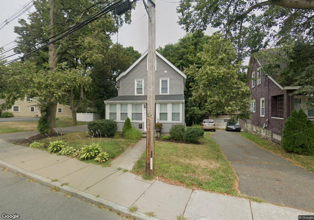
1171 Franklin St Stoneham, MA 02180
Colonial Park NeighborhoodEstimated Value: $855,388 - $889,000
3
Beds
2
Baths
1,884
Sq Ft
$462/Sq Ft
Est. Value
About This Home
This home is located at 1171 Franklin St, Stoneham, MA 02180 and is currently estimated at $870,097, approximately $461 per square foot. 1171 Franklin St is a home located in Middlesex County with nearby schools including Stoneham High School, St. Patrick Elementary School, and Melrose Montessori School.
Ownership History
Date
Name
Owned For
Owner Type
Purchase Details
Closed on
Apr 28, 2000
Sold by
Towse Marian M
Bought by
Camirand Jean M and Mcnamara Susan
Current Estimated Value
Home Financials for this Owner
Home Financials are based on the most recent Mortgage that was taken out on this home.
Original Mortgage
$251,637
Outstanding Balance
$87,497
Interest Rate
8.23%
Mortgage Type
Purchase Money Mortgage
Estimated Equity
$782,600
Create a Home Valuation Report for This Property
The Home Valuation Report is an in-depth analysis detailing your home's value as well as a comparison with similar homes in the area
Home Values in the Area
Average Home Value in this Area
Purchase History
| Date | Buyer | Sale Price | Title Company |
|---|---|---|---|
| Camirand Jean M | $252,400 | -- |
Source: Public Records
Mortgage History
| Date | Status | Borrower | Loan Amount |
|---|---|---|---|
| Open | Camirand Jean M | $251,637 |
Source: Public Records
Tax History
| Year | Tax Paid | Tax Assessment Tax Assessment Total Assessment is a certain percentage of the fair market value that is determined by local assessors to be the total taxable value of land and additions on the property. | Land | Improvement |
|---|---|---|---|---|
| 2025 | $7,578 | $740,800 | $380,600 | $360,200 |
| 2024 | $7,240 | $683,700 | $350,600 | $333,100 |
| 2023 | $7,046 | $634,800 | $320,600 | $314,200 |
| 2022 | $6,203 | $595,900 | $300,600 | $295,300 |
| 2021 | $12,632 | $571,100 | $280,600 | $290,500 |
| 2020 | $6,083 | $563,800 | $280,600 | $283,200 |
| 2019 | $6,040 | $538,300 | $260,600 | $277,700 |
| 2018 | $7,146 | $489,600 | $230,600 | $259,000 |
| 2017 | $5,884 | $474,900 | $230,600 | $244,300 |
| 2016 | $5,527 | $435,200 | $210,600 | $224,600 |
| 2015 | $4,664 | $359,900 | $190,600 | $169,300 |
| 2014 | $4,527 | $335,600 | $170,600 | $165,000 |
Source: Public Records
Map
Nearby Homes
- 33 Lake Ave
- 53 Perkins St
- 132 Walton Park
- 159 Franklin St Unit D2
- 159 Franklin St Unit C2
- 159 Franklin St Unit E6
- 17 Franklin St
- 137 Franklin St Unit 102
- 35 Maple Rd
- 601 Franklin St Unit 2
- 11 Ludlow Ave
- 24 Ellsworth Ave
- 23 Ellsworth Ave
- 12 Lovis Ave
- 51 Spring St
- 9 Lovis Ave
- 43-51 Albion St Unit C9
- 34-36 W Highland Ave
- 51 Melrose St Unit 1C
- 51 Melrose St Unit 1A
- 1169 Franklin St
- 204 Franklin St
- 1167 Franklin St
- 1 Perkins St
- 4 Columbus Ave
- 215 Franklin St
- 2 Columbus Ave
- 1165 Franklin St
- 3 Perkins St
- 6 Perkins St
- 5 Perkins St
- 3 Walsh Ave
- 1176 Franklin St
- 1174 Franklin St
- 3 Stone Ave
- 8 Isabella St
- 8 Isabella St Unit 2
- 1163 Franklin St
- 10 Isabella St
- 10 Isabella St Unit 1
Your Personal Tour Guide
Ask me questions while you tour the home.