1171 High Knob Rd Front Royal, VA 22630
Estimated Value: $342,000 - $472,000
2
Beds
2
Baths
1,530
Sq Ft
$263/Sq Ft
Est. Value
About This Home
This home is located at 1171 High Knob Rd, Front Royal, VA 22630 and is currently estimated at $402,092, approximately $262 per square foot. 1171 High Knob Rd is a home located in Warren County with nearby schools including Hilda J. Barbour Elementary School, Warren County High School, and Dominion Ridge Academy.
Ownership History
Date
Name
Owned For
Owner Type
Purchase Details
Closed on
Oct 26, 2007
Sold by
Lehman Brian K
Bought by
Lambe Stephen F and Lambe Arlene
Current Estimated Value
Home Financials for this Owner
Home Financials are based on the most recent Mortgage that was taken out on this home.
Original Mortgage
$204,300
Outstanding Balance
$126,959
Interest Rate
6.39%
Mortgage Type
VA
Estimated Equity
$275,133
Create a Home Valuation Report for This Property
The Home Valuation Report is an in-depth analysis detailing your home's value as well as a comparison with similar homes in the area
Home Values in the Area
Average Home Value in this Area
Purchase History
| Date | Buyer | Sale Price | Title Company |
|---|---|---|---|
| Lambe Stephen F | $200,000 | -- |
Source: Public Records
Mortgage History
| Date | Status | Borrower | Loan Amount |
|---|---|---|---|
| Open | Lambe Stephen F | $204,300 |
Source: Public Records
Tax History
| Year | Tax Paid | Tax Assessment Tax Assessment Total Assessment is a certain percentage of the fair market value that is determined by local assessors to be the total taxable value of land and additions on the property. | Land | Improvement |
|---|---|---|---|---|
| 2025 | $1,932 | $403,300 | $54,300 | $349,000 |
| 2024 | $1,292 | $243,700 | $46,000 | $197,700 |
| 2023 | $1,194 | $243,700 | $46,000 | $197,700 |
| 2022 | $1,319 | $201,300 | $40,000 | $161,300 |
| 2021 | $1,319 | $201,300 | $40,000 | $161,300 |
| 2020 | $1,319 | $201,300 | $40,000 | $161,300 |
| 2019 | $1,319 | $201,300 | $40,000 | $161,300 |
| 2018 | $1,231 | $186,500 | $45,000 | $141,500 |
| 2017 | $1,212 | $186,500 | $45,000 | $141,500 |
| 2016 | $1,776 | $186,500 | $45,000 | $141,500 |
| 2015 | -- | $186,500 | $45,000 | $141,500 |
| 2014 | -- | $185,000 | $45,000 | $140,000 |
Source: Public Records
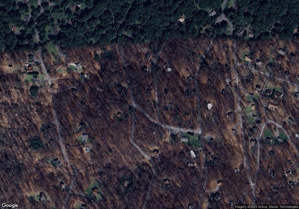
Map
Nearby Homes
- Lot 26 Massanutten Mountain Dr
- 67 Pocahontas Rd
- 0 Windy Way Unit LotWP001
- 0 Windy Way Unit VAWR2013350
- 377 Windy Way
- 25 Deer Trail Rd
- 59 Alpine Dr
- 168 Deer Trail Rd
- 0 Wapping Farm Rd Unit VAWR2011058
- 0 Hillandale Rd Unit VAWR2010962
- 588 Apple Orchard Dr
- 948 Dismal Hollow Rd
- 112 Apple Orchard Dr
- Lot 5 Forest Rd
- 170 Forest Rd
- 0 Mosby Spring Ln
- 00 Corner of Brooklyn Road and Summit Point Dr
- 36 Ashlawn Ct
- 83 Oriole Way
- 85 Oriole Way
- 20 Bridle Path Rd
- 30 Bridle Path Rd
- 65 Bridle Path Rd
- 0 Red Bud Ln Unit 1000333294
- 0 Red Bud Ln
- 0 Red Bud Ln Unit VAWR140106
- 0 Red Bud Ln Unit 1008865234
- 54 Bridle Path Rd
- 1192 High Knob Rd
- 1257 High Knob Rd
- 24 Red Bud Ln
- 1094 High Knob Rd
- 1226 High Knob Rd
- 105 Bridle Path Rd
- 956 Massanutten Mountain Dr
- 124 Bridle Path Rd
- 108 Bridle Path Rd
- 115 Red Bud Ln
- 932 Massanutten Mountain Dr
- 125 Bridle Path Rd
Your Personal Tour Guide
Ask me questions while you tour the home.