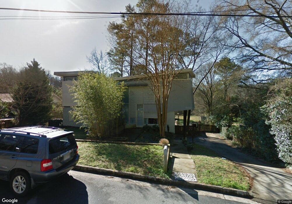
1171 Lenox Cir NE Atlanta, GA 30306
Morningside NeighborhoodEstimated Value: $1,166,000 - $1,454,000
4
Beds
3
Baths
3,114
Sq Ft
$422/Sq Ft
Est. Value
About This Home
This home is located at 1171 Lenox Cir NE, Atlanta, GA 30306 and is currently estimated at $1,314,337, approximately $422 per square foot. 1171 Lenox Cir NE is a home located in Fulton County with nearby schools including Morningside Elementary School, Midtown High School, and Carlisle Montessori School of Buckhead.
Ownership History
Date
Name
Owned For
Owner Type
Purchase Details
Closed on
Jun 8, 2018
Sold by
Lewitt Mary Jane
Bought by
Lewitt Erik W
Current Estimated Value
Purchase Details
Closed on
Jun 15, 2001
Sold by
Beckwith Firman W and Beckwith Patsy H
Bought by
Lewitt Mary J and Lewitt Eric W
Home Financials for this Owner
Home Financials are based on the most recent Mortgage that was taken out on this home.
Original Mortgage
$250,800
Interest Rate
7.08%
Mortgage Type
New Conventional
Create a Home Valuation Report for This Property
The Home Valuation Report is an in-depth analysis detailing your home's value as well as a comparison with similar homes in the area
Home Values in the Area
Average Home Value in this Area
Purchase History
| Date | Buyer | Sale Price | Title Company |
|---|---|---|---|
| Lewitt Erik W | -- | -- | |
| Lewitt Mary J | $264,000 | -- |
Source: Public Records
Mortgage History
| Date | Status | Borrower | Loan Amount |
|---|---|---|---|
| Previous Owner | Lewitt Mary J | $250,800 |
Source: Public Records
Tax History Compared to Growth
Tax History
| Year | Tax Paid | Tax Assessment Tax Assessment Total Assessment is a certain percentage of the fair market value that is determined by local assessors to be the total taxable value of land and additions on the property. | Land | Improvement |
|---|---|---|---|---|
| 2025 | $10,467 | $389,760 | $100,320 | $289,440 |
| 2023 | $16,192 | $391,120 | $100,320 | $290,800 |
| 2022 | $11,495 | $341,480 | $69,360 | $272,120 |
| 2021 | $11,137 | $331,520 | $67,320 | $264,200 |
| 2020 | $10,238 | $291,200 | $88,240 | $202,960 |
| 2019 | $493 | $286,040 | $86,680 | $199,360 |
| 2018 | $10,230 | $278,800 | $76,360 | $202,440 |
| 2017 | $10,252 | $268,040 | $73,400 | $194,640 |
| 2016 | $10,083 | $268,040 | $73,400 | $194,640 |
| 2015 | $10,109 | $268,040 | $73,400 | $194,640 |
| 2014 | $8,405 | $214,280 | $58,680 | $155,600 |
Source: Public Records
Map
Nearby Homes
- 1109 Morningside Place NE
- 1818 Homestead Ave NE
- 1143 Morningside Place NE
- 1191 Hampton Way NE
- 2086 Lenox Rd NE
- 1770 Merton Rd NE
- 1146 Palafox Dr NE
- 2129 Arlington Ave NE
- 1128 Hampton Way NE Unit 1128
- 1233 Woodland Ave NE Unit 5
- 1106 Vista Trail NE
- 1240 Woodland Ave NE Unit 4
- 1099 Vista Trail NE
- 1634 Lenox Rd NE
- 1045 Shepherds Ln NE
- 1666 Johnson Rd NE
- 1090 Shepherds Ln NE
- 1183 Lenox Cir NE
- 1921 Lenox Rd NE Unit 1
- 1189 Lenox Cir NE
- 1911 Lenox Rd NE
- 1174 Lenox Cir NE
- 1929 Lenox Rd NE
- 1195 Lenox Cir NE
- 1195 Lenox Cir NE
- 1901 Lenox Rd NE
- 1186 Lenox Cir NE
- 1205 Lenox Cir NE
- 1194 Lenox Cir NE
- 1887 Lenox Rd NE
- 1202 Lenox Cir NE
- 1930 Lenox Rd NE
- 1225 Lenox Cir NE
- 1936 Lenox Rd NE
- 1951 Lenox Rd NE
- 1912 Lenox Rd NE
- 1924 Lenox Rd NE